4637 S Black Ankle Rd Bloomfield, IN 47424
Estimated Value: $187,000 - $317,000
2
Beds
1
Bath
816
Sq Ft
$313/Sq Ft
Est. Value
About This Home
This home is located at 4637 S Black Ankle Rd, Bloomfield, IN 47424 and is currently estimated at $255,554, approximately $313 per square foot. 4637 S Black Ankle Rd is a home with nearby schools including Eastern Greene Elementary School, Eastern Greene Middle School, and Eastern Greene High School.
Ownership History
Date
Name
Owned For
Owner Type
Purchase Details
Closed on
Sep 27, 2022
Sold by
Ferree David E and Ferree Austin
Bought by
Ferree David E
Current Estimated Value
Home Financials for this Owner
Home Financials are based on the most recent Mortgage that was taken out on this home.
Original Mortgage
$85,000
Interest Rate
5.66%
Mortgage Type
New Conventional
Purchase Details
Closed on
Sep 7, 2005
Sold by
Ward James Thomas and Ward Noreen Kay
Bought by
Rash Cory R and Rash Jennifer R
Home Financials for this Owner
Home Financials are based on the most recent Mortgage that was taken out on this home.
Original Mortgage
$133,000
Interest Rate
8.7%
Mortgage Type
Adjustable Rate Mortgage/ARM
Create a Home Valuation Report for This Property
The Home Valuation Report is an in-depth analysis detailing your home's value as well as a comparison with similar homes in the area
Home Values in the Area
Average Home Value in this Area
Purchase History
| Date | Buyer | Sale Price | Title Company |
|---|---|---|---|
| Ferree David E | -- | None Listed On Document | |
| Ferree David E | -- | -- | |
| Rash Cory R | -- | None Available |
Source: Public Records
Mortgage History
| Date | Status | Borrower | Loan Amount |
|---|---|---|---|
| Previous Owner | Ferree David E | $85,000 | |
| Previous Owner | Rash Cory R | $133,000 |
Source: Public Records
Tax History Compared to Growth
Tax History
| Year | Tax Paid | Tax Assessment Tax Assessment Total Assessment is a certain percentage of the fair market value that is determined by local assessors to be the total taxable value of land and additions on the property. | Land | Improvement |
|---|---|---|---|---|
| 2024 | $1,366 | $130,400 | $35,100 | $95,300 |
| 2023 | $1,286 | $129,400 | $35,100 | $94,300 |
| 2022 | $1,121 | $115,200 | $17,000 | $98,200 |
| 2021 | $1,022 | $107,200 | $16,800 | $90,400 |
| 2020 | $157 | $26,400 | $16,800 | $9,600 |
| 2019 | $153 | $25,500 | $17,000 | $8,500 |
| 2018 | $158 | $25,700 | $17,000 | $8,700 |
| 2017 | $164 | $26,000 | $17,200 | $8,800 |
| 2016 | $147 | $24,900 | $17,300 | $7,600 |
| 2014 | $163 | $26,500 | $17,300 | $9,200 |
| 2013 | -- | $25,900 | $17,100 | $8,800 |
Source: Public Records
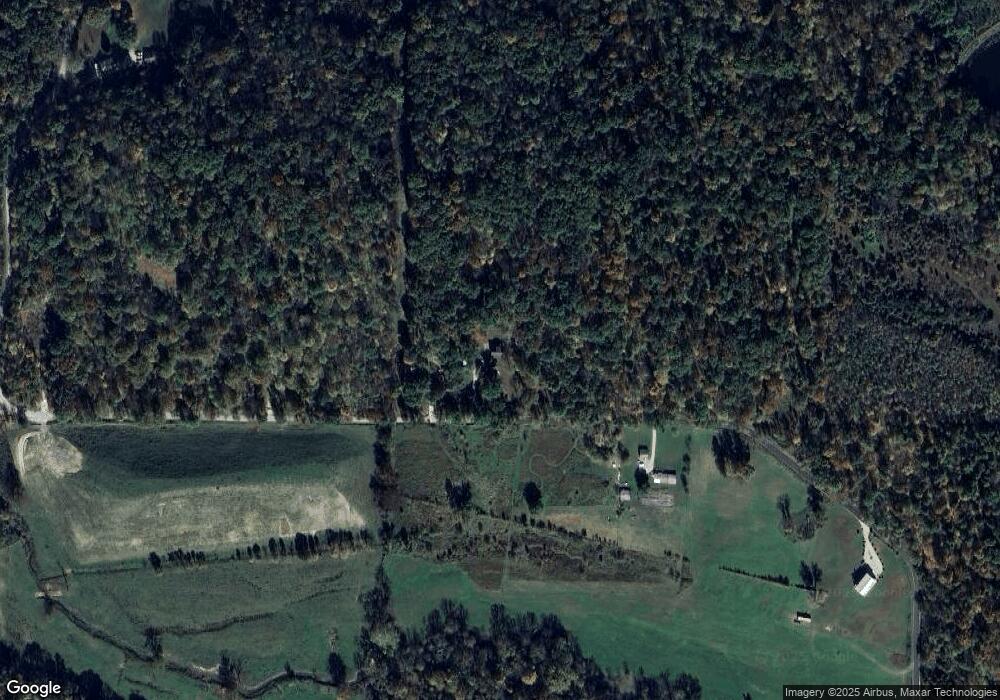
Map
Nearby Homes
- Tract 1 S Dry Branch Rd
- 6903 E State Road 58
- 4919 E State Road 58
- 2500 S Coalmine Rd
- 2 E St Rd 58 Lot Unit WP002
- 9045 E Pine Rd
- 8488 E Ash Rd
- 7200 S Hamilton Ln
- 7200 S Hamilton Ln
- 1357 S Haslers Rd
- 1357 S Hasler Rd
- 2 E State Road 58
- 2702 S Old Clifty Rd
- 1 County Rd 635 S
- 5 E Scotland Rd
- 1 E Scotland Rd
- 4.4 St Rd 45 Rd
- 4.37 State Road 45
- 10030 E Dobson Rd
- Lot 5 E Cedar Ridge Ln