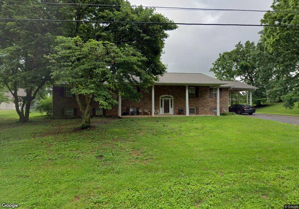
4639 Brockland Dr Morristown, TN 37813
Estimated Value: $358,900 - $580,000
--
Bed
4
Baths
2,294
Sq Ft
$208/Sq Ft
Est. Value
About This Home
This home is located at 4639 Brockland Dr, Morristown, TN 37813 and is currently estimated at $478,225, approximately $208 per square foot. 4639 Brockland Dr is a home located in Hamblen County with nearby schools including John Hay Elementary School, Meadowview Middle School, and Morristown East High School.
Ownership History
Date
Name
Owned For
Owner Type
Purchase Details
Closed on
Jun 2, 2010
Sold by
Carpenter Jeffrey
Bought by
Wright Benjamin P
Current Estimated Value
Home Financials for this Owner
Home Financials are based on the most recent Mortgage that was taken out on this home.
Original Mortgage
$184,050
Outstanding Balance
$123,351
Interest Rate
4.97%
Estimated Equity
$354,874
Purchase Details
Closed on
Sep 16, 1996
Sold by
Sitzman Laurence
Bought by
Trent Jeff
Purchase Details
Closed on
Mar 2, 1983
Bought by
Sitzman Lawrence
Purchase Details
Closed on
Mar 20, 1970
Create a Home Valuation Report for This Property
The Home Valuation Report is an in-depth analysis detailing your home's value as well as a comparison with similar homes in the area
Home Values in the Area
Average Home Value in this Area
Purchase History
| Date | Buyer | Sale Price | Title Company |
|---|---|---|---|
| Wright Benjamin P | $204,500 | -- | |
| Trent Jeff | $15,000 | -- | |
| Sitzman Lawrence | -- | -- | |
| -- | -- | -- |
Source: Public Records
Mortgage History
| Date | Status | Borrower | Loan Amount |
|---|---|---|---|
| Open | Not Available | $184,050 |
Source: Public Records
Tax History Compared to Growth
Tax History
| Year | Tax Paid | Tax Assessment Tax Assessment Total Assessment is a certain percentage of the fair market value that is determined by local assessors to be the total taxable value of land and additions on the property. | Land | Improvement |
|---|---|---|---|---|
| 2024 | $1,148 | $58,250 | $5,225 | $53,025 |
| 2023 | $1,148 | $58,250 | $0 | $0 |
| 2022 | $1,148 | $58,250 | $5,225 | $53,025 |
| 2021 | $1,148 | $58,250 | $5,225 | $53,025 |
| 2020 | $1,148 | $58,250 | $5,225 | $53,025 |
| 2019 | $1,090 | $51,175 | $5,825 | $45,350 |
| 2018 | $1,090 | $51,175 | $5,825 | $45,350 |
| 2017 | $1,090 | $51,175 | $5,825 | $45,350 |
| 2016 | $1,018 | $51,175 | $5,825 | $45,350 |
| 2015 | $947 | $51,175 | $5,825 | $45,350 |
| 2014 | -- | $51,175 | $5,825 | $45,350 |
| 2013 | -- | $50,500 | $0 | $0 |
Source: Public Records
Map
Nearby Homes
- 4581 Lockley Ct
- 4705 E Hampton Blvd
- 4510 Westover Place
- 4458 Brockland Dr
- 670 Jones Franklin Rd
- 1148 George Byrd Rd
- 4270 Brockland Dr
- 1342 Slop Creek Rd
- 358 Dover Rd
- 288 Fuller Estate Cir
- 4271 Stansberry Rd
- 1496 Dover Rd
- 00 Shinbone E Sugar Hollow Rd
- 4907 Barton Springs Dr
- 1689 Carroll Rd
- 1744 Carroll Rd
- 3661 Halifax Cir
- Tract 3 Shinbone Rd
- Tract 4 Shinbone Rd
- 1976/1986 Shinbone Rd
- 4640 Brockland Dr
- 4635 Brockland Dr
- 4656 Brockland Dr
- 0000 Woodhaven Dr
- 4630 Brockland Dr
- 4625 Brockland Dr
- 4669 Brockland Dr
- 4650 E Hampton Blvd
- 4620 Brockland Dr
- 4639 E Hampton Blvd
- 4565 Lockley Ct
- 4494 Woodhaven Dr
- 4615 Brockland Dr
- 4491 Woodhaven Dr
- 4605 Brockland Dr
- 4670 Brockland Dr
- 4391 Woodhaven Dr
- 4687 E Hampton Blvd
- 4687 E Hampton Blvd
- 4603 Lockley Ct