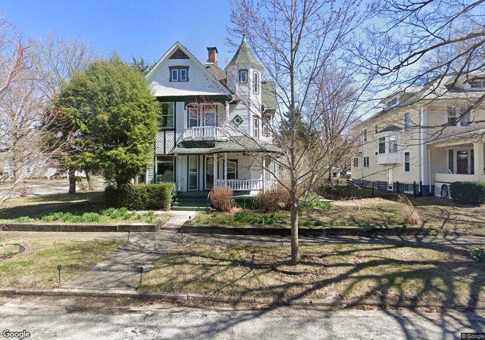
464 5th St Unit 1 Illiopolis, IL 62539
Estimated Value: $130,000 - $227,606
4
Beds
3
Baths
3,678
Sq Ft
$50/Sq Ft
Est. Value
About This Home
This home is located at 464 5th St Unit 1, Illiopolis, IL 62539 and is currently estimated at $183,402, approximately $49 per square foot. 464 5th St Unit 1 is a home located in Sangamon County.
Ownership History
Date
Name
Owned For
Owner Type
Purchase Details
Closed on
Jul 29, 2022
Sold by
Marc Alan Sanner Declaration Of Trust
Bought by
Hinthorn Laura
Current Estimated Value
Home Financials for this Owner
Home Financials are based on the most recent Mortgage that was taken out on this home.
Original Mortgage
$150,000
Outstanding Balance
$142,229
Interest Rate
4.88%
Mortgage Type
New Conventional
Estimated Equity
$41,173
Purchase Details
Closed on
Jun 8, 2009
Create a Home Valuation Report for This Property
The Home Valuation Report is an in-depth analysis detailing your home's value as well as a comparison with similar homes in the area
Home Values in the Area
Average Home Value in this Area
Purchase History
| Date | Buyer | Sale Price | Title Company |
|---|---|---|---|
| Hinthorn Laura | $195,000 | Heavner Beyers & Mihlar Llc | |
| -- | -- | -- |
Source: Public Records
Mortgage History
| Date | Status | Borrower | Loan Amount |
|---|---|---|---|
| Open | Hinthorn Laura | $150,000 |
Source: Public Records
Tax History Compared to Growth
Tax History
| Year | Tax Paid | Tax Assessment Tax Assessment Total Assessment is a certain percentage of the fair market value that is determined by local assessors to be the total taxable value of land and additions on the property. | Land | Improvement |
|---|---|---|---|---|
| 2024 | $4,139 | $56,204 | $3,035 | $53,169 |
| 2023 | $3,829 | $51,883 | $2,802 | $49,081 |
| 2022 | $2,995 | $46,490 | $2,511 | $43,979 |
| 2021 | $2,915 | $44,561 | $2,407 | $42,154 |
| 2020 | $2,813 | $43,150 | $2,331 | $40,819 |
| 2019 | $2,743 | $42,412 | $2,291 | $40,121 |
| 2018 | $2,655 | $41,137 | $2,222 | $38,915 |
| 2017 | $2,613 | $40,173 | $2,170 | $38,003 |
| 2016 | $2,797 | $42,648 | $2,161 | $40,487 |
| 2015 | $2,743 | $41,898 | $2,123 | $39,775 |
| 2014 | $2,843 | $41,182 | $2,087 | $39,095 |
| 2013 | $2,741 | $42,240 | $2,018 | $40,222 |
Source: Public Records
Map
Nearby Homes
- 414 5th St
- 420 6th St
- 709 Louisa St
- 120 8th St Unit 1
- 20961 Center Staff Rd Unit 1
- 116 N Moore St Unit 1
- 13505 W Long Point Rd
- 168 W Lockhart St
- 144 E Lewis St
- 0 Bill Wall Dr
- 1359 S Bridge Rd
- 116 E Center St
- 275 N Camp St
- 1955 E 2700 Rd N
- 207 N Church St
- 7450 W William St
- 100 N Joynt St
- 203 W Railroad St
- 0 W Wood St
- 0 W Harristown Blvd Unit 6251050
- 452 5th St
- 518 Elizabeth St Unit 1
- 465 6th St
- 536 Elizabeth St Unit 1
- 449 6th St Unit 1
- 467 5th St Unit 1
- 443 5th St
- 558 Elizabeth St Unit 1
- 437 6th St
- 536 5th St Unit 1
- 520 Mary St
- 517 5th St Unit 1
- 524 Mary St
- 530 & 540 Mary St
- 550 Mary St
- 426 Elizabeth St Unit 1
- 608 Elizabeth St Unit 1
- 460 6th St Unit 1
- 432 6th St Unit 1
- 454 4th St