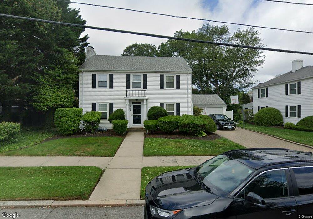
464 Cole Ave Providence, RI 02906
Blackstone NeighborhoodEstimated Value: $1,243,000 - $1,405,000
3
Beds
4
Baths
2,268
Sq Ft
$592/Sq Ft
Est. Value
About This Home
This home is located at 464 Cole Ave, Providence, RI 02906 and is currently estimated at $1,341,749, approximately $591 per square foot. 464 Cole Ave is a home located in Providence County with nearby schools including Asa Messer Elementary School, Charles N. Fortes Elementary School, and Veazie Street Elementary School.
Ownership History
Date
Name
Owned For
Owner Type
Purchase Details
Closed on
Sep 21, 2001
Sold by
Korb Edith and Korb Edmund
Bought by
Goldstein Robyn and Goldstein David
Current Estimated Value
Create a Home Valuation Report for This Property
The Home Valuation Report is an in-depth analysis detailing your home's value as well as a comparison with similar homes in the area
Home Values in the Area
Average Home Value in this Area
Purchase History
| Date | Buyer | Sale Price | Title Company |
|---|---|---|---|
| Goldstein Robyn | $341,000 | -- |
Source: Public Records
Mortgage History
| Date | Status | Borrower | Loan Amount |
|---|---|---|---|
| Open | Goldstein Robyn | $288,000 | |
| Closed | Goldstein Robyn | $80,000 | |
| Closed | Goldstein Robyn | $230,000 | |
| Closed | Goldstein Robyn | $250,000 |
Source: Public Records
Tax History Compared to Growth
Tax History
| Year | Tax Paid | Tax Assessment Tax Assessment Total Assessment is a certain percentage of the fair market value that is determined by local assessors to be the total taxable value of land and additions on the property. | Land | Improvement |
|---|---|---|---|---|
| 2025 | $10,284 | $1,224,300 | $819,000 | $405,300 |
| 2024 | $14,933 | $813,800 | $407,400 | $406,400 |
| 2023 | $14,933 | $813,800 | $407,400 | $406,400 |
| 2022 | $14,486 | $813,800 | $407,400 | $406,400 |
| 2021 | $15,070 | $613,600 | $311,700 | $301,900 |
| 2020 | $15,070 | $613,600 | $311,700 | $301,900 |
| 2019 | $15,070 | $613,600 | $311,700 | $301,900 |
| 2018 | $17,102 | $535,100 | $267,700 | $267,400 |
| 2017 | $17,102 | $535,100 | $267,700 | $267,400 |
| 2016 | $17,102 | $535,100 | $267,700 | $267,400 |
| 2015 | $17,126 | $517,400 | $283,400 | $234,000 |
| 2014 | $17,256 | $511,300 | $283,400 | $227,900 |
| 2013 | $17,256 | $511,300 | $283,400 | $227,900 |
Source: Public Records
Map
Nearby Homes
- 436 Blackstone Blvd
- 62 Harwich Rd
- 296 Cole Ave
- 294 Cole Ave
- 767 Elmgrove Ave
- 750 Elmgrove Ave
- 32 Glendale Ave
- 540 Blackstone Blvd
- 15 Taft Ave
- 873 Hope St
- 202 Rochambeau Ave Unit 2
- 360 Taber Ave
- 80 Clarendon Ave
- 41 Stadium Rd
- 94 Larch St
- 188 Blackstone Blvd
- 89 Dexterdale Rd
- 132 11th St
- 140 Freeman Pkwy
- 103 Evergreen St