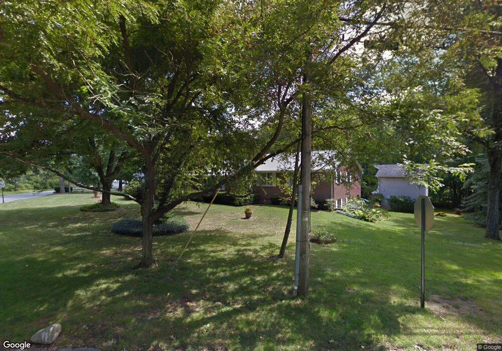
464 Florence Rd Florence, MA 01062
Florence NeighborhoodEstimated Value: $550,786 - $612,000
4
Beds
2
Baths
2,412
Sq Ft
$243/Sq Ft
Est. Value
About This Home
This home is located at 464 Florence Rd, Florence, MA 01062 and is currently estimated at $585,197, approximately $242 per square foot. 464 Florence Rd is a home located in Hampshire County with nearby schools including Northampton High School, Hilltown Cooperative Charter Public School, and Campus School of Smith College.
Ownership History
Date
Name
Owned For
Owner Type
Purchase Details
Closed on
Mar 31, 2011
Sold by
Holik Joseph L
Bought by
Holik Joseph L and Holik Theresa M
Current Estimated Value
Purchase Details
Closed on
Jun 1, 1975
Bought by
Holik Joseph L and Holik Theresa M
Create a Home Valuation Report for This Property
The Home Valuation Report is an in-depth analysis detailing your home's value as well as a comparison with similar homes in the area
Home Values in the Area
Average Home Value in this Area
Purchase History
| Date | Buyer | Sale Price | Title Company |
|---|---|---|---|
| Holik Joseph L | -- | -- | |
| Holik Joseph L | $50,000 | -- |
Source: Public Records
Mortgage History
| Date | Status | Borrower | Loan Amount |
|---|---|---|---|
| Previous Owner | Holik Joseph L | $160,000 | |
| Previous Owner | Holik Joseph L | $160,000 |
Source: Public Records
Tax History
| Year | Tax Paid | Tax Assessment Tax Assessment Total Assessment is a certain percentage of the fair market value that is determined by local assessors to be the total taxable value of land and additions on the property. | Land | Improvement |
|---|---|---|---|---|
| 2025 | $6,170 | $442,900 | $107,600 | $335,300 |
| 2024 | $6,503 | $428,100 | $103,100 | $325,000 |
| 2023 | $6,124 | $386,600 | $93,300 | $293,300 |
| 2022 | $5,265 | $294,300 | $88,000 | $206,300 |
| 2021 | $5,164 | $297,300 | $84,300 | $213,000 |
| 2020 | $4,995 | $297,300 | $84,300 | $213,000 |
| 2019 | $4,924 | $283,500 | $87,000 | $196,500 |
| 2018 | $4,638 | $272,200 | $87,000 | $185,200 |
| 2017 | $4,543 | $272,200 | $87,000 | $185,200 |
| 2016 | $4,399 | $272,200 | $87,000 | $185,200 |
| 2015 | $4,628 | $292,900 | $103,000 | $189,900 |
| 2014 | $4,508 | $292,900 | $103,000 | $189,900 |
Source: Public Records
Map
Nearby Homes
- 635 Florence Rd
- 697 Florence Rd
- 723 Florence Rd
- 815 Burts Pit Rd
- 42 Clark St
- 296 Ryan Rd Unit A
- 296 Ryan Rd
- 296 Ryan Rd Unit B
- 37 Landy Ave
- 63 Riverside Dr
- 967 Florence Rd
- 296 Old Wilson Rd
- 723 Lot B Ryan Rd
- 23 Ford Crossing
- 61 Harrison Ave
- 67 Park St Unit A
- 76 Maple St
- 218 Elm St
- 61 Woodlawn Ave
- 14 Arlington St
- 512 Burts Pit Rd
- 552 Burts Pit Rd
- 455 Florence Rd
- 448 Florence Rd
- 498 Burts Pit Rd
- 495 Florence Rd
- 499 Burts Pit Rd
- 443 Florence Rd
- 556 Burts Pit Rd
- 506 Florence Rd
- 551 Burts Pit Rd
- 435 Florence Rd
- 497 Burts Pit Rd
- 476 Burts Pit Rd
- 560 Burts Pit Rd
- 495 Burts Pit Rd
- 569 Burts Pit Rd
- 423 Florence Rd
- 416 Florence Rd
- 520 Florence Rd
Your Personal Tour Guide
Ask me questions while you tour the home.