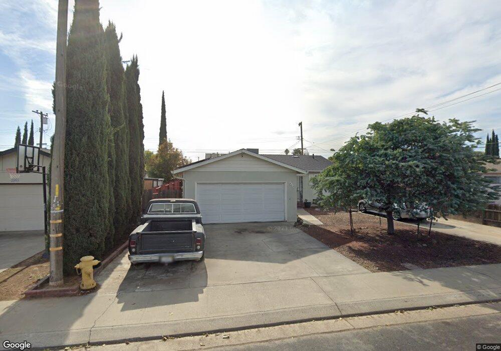
464 Lode St Unit 2 Manteca, CA 95336
Downtown Manteca NeighborhoodEstimated Value: $411,592 - $451,000
3
Beds
2
Baths
1,073
Sq Ft
$405/Sq Ft
Est. Value
About This Home
This home is located at 464 Lode St Unit 2, Manteca, CA 95336 and is currently estimated at $434,398, approximately $404 per square foot. 464 Lode St Unit 2 is a home located in San Joaquin County with nearby schools including Golden West Elementary School, Manteca High School, and St. Anthony's Catholic School.
Ownership History
Date
Name
Owned For
Owner Type
Purchase Details
Closed on
Nov 19, 1998
Sold by
Boehm Patsy Mozell
Bought by
Hillman Laura C
Current Estimated Value
Home Financials for this Owner
Home Financials are based on the most recent Mortgage that was taken out on this home.
Original Mortgage
$101,636
Outstanding Balance
$22,673
Interest Rate
6.84%
Mortgage Type
FHA
Estimated Equity
$411,725
Create a Home Valuation Report for This Property
The Home Valuation Report is an in-depth analysis detailing your home's value as well as a comparison with similar homes in the area
Home Values in the Area
Average Home Value in this Area
Purchase History
| Date | Buyer | Sale Price | Title Company |
|---|---|---|---|
| Hillman Laura C | $102,000 | Old Republic Title Company |
Source: Public Records
Mortgage History
| Date | Status | Borrower | Loan Amount |
|---|---|---|---|
| Open | Hillman Laura C | $101,636 |
Source: Public Records
Tax History
| Year | Tax Paid | Tax Assessment Tax Assessment Total Assessment is a certain percentage of the fair market value that is determined by local assessors to be the total taxable value of land and additions on the property. | Land | Improvement |
|---|---|---|---|---|
| 2025 | $1,714 | $159,892 | $62,703 | $97,189 |
| 2024 | $1,665 | $156,758 | $61,474 | $95,284 |
| 2023 | $1,643 | $153,685 | $60,269 | $93,416 |
| 2022 | $1,617 | $150,673 | $59,088 | $91,585 |
| 2021 | $1,598 | $147,720 | $57,930 | $89,790 |
| 2020 | $1,533 | $146,206 | $57,336 | $88,870 |
| 2019 | $1,511 | $143,340 | $56,212 | $87,128 |
| 2018 | $1,490 | $140,530 | $55,110 | $85,420 |
| 2017 | $1,467 | $137,776 | $54,030 | $83,746 |
| 2016 | $1,430 | $135,074 | $52,970 | $82,104 |
| 2014 | $1,328 | $130,440 | $51,153 | $79,287 |
Source: Public Records
Map
Nearby Homes
- 974 San Miguel Place
- 324 Eva Ct
- 1073 Hacienda Ave
- 840 Del Monte Ct
- 846 Del Monte Ct
- 819 Brandywine St
- 290 Victory Ave
- 1255 Sweetbrier Place
- 1275 Sweetbrier Place
- 322 Poplar Ave
- 396 Lancaster Dr
- 445 N Walnut Ave
- 316 Poplar Ave
- 544 Hawes St
- 1479 Santini Ave
- 1449 Dorona Ln
- 1415 Crimson Ln
- 1414 Pajaro Ave Unit 41
- 467 E Alameda St
- 414 Cherry Ln Unit G
Your Personal Tour Guide
Ask me questions while you tour the home.