Timberbrook Village Condos 464 N Hwy Unit A111 Brian Head, UT 84719
Estimated Value: $213,000 - $356,179
3
Beds
2
Baths
1,121
Sq Ft
$248/Sq Ft
Est. Value
About This Home
This home is located at 464 N Hwy Unit A111, Brian Head, UT 84719 and is currently estimated at $278,545, approximately $248 per square foot. 464 N Hwy Unit A111 is a home located in Iron County with nearby schools including Parowan School, Parowan High School, and Cedar City High School.
Ownership History
Date
Name
Owned For
Owner Type
Purchase Details
Closed on
Jan 14, 2022
Sold by
Stewart L Fausett Revocable Living Trust
Bought by
Hall John Randy
Current Estimated Value
Home Financials for this Owner
Home Financials are based on the most recent Mortgage that was taken out on this home.
Original Mortgage
$123,975
Outstanding Balance
$114,168
Interest Rate
3.05%
Mortgage Type
New Conventional
Estimated Equity
$164,377
Purchase Details
Closed on
Mar 23, 2007
Sold by
Goad John D
Bought by
Ortler James L
Purchase Details
Closed on
May 25, 2005
Sold by
Goad John D
Bought by
Goad John D
Home Financials for this Owner
Home Financials are based on the most recent Mortgage that was taken out on this home.
Original Mortgage
$90,000
Interest Rate
5.74%
Mortgage Type
New Conventional
Create a Home Valuation Report for This Property
The Home Valuation Report is an in-depth analysis detailing your home's value as well as a comparison with similar homes in the area
Home Values in the Area
Average Home Value in this Area
Purchase History
| Date | Buyer | Sale Price | Title Company |
|---|---|---|---|
| Hall John Randy | -- | Security Escrow & Title | |
| Ortler James L | -- | -- | |
| Goad John D | -- | First American Title Co Llc |
Source: Public Records
Mortgage History
| Date | Status | Borrower | Loan Amount |
|---|---|---|---|
| Open | Hall John Randy | $123,975 | |
| Previous Owner | Goad John D | $90,000 |
Source: Public Records
Tax History Compared to Growth
Tax History
| Year | Tax Paid | Tax Assessment Tax Assessment Total Assessment is a certain percentage of the fair market value that is determined by local assessors to be the total taxable value of land and additions on the property. | Land | Improvement |
|---|---|---|---|---|
| 2025 | $661 | $83,811 | -- | $83,811 |
| 2023 | $841 | $106,595 | $715 | $105,880 |
| 2022 | $758 | $76,345 | $715 | $75,630 |
| 2021 | $365 | $36,730 | $715 | $36,015 |
| 2020 | $381 | $35,015 | $715 | $34,300 |
| 2019 | $337 | $28,600 | $715 | $27,885 |
| 2018 | $348 | $28,600 | $715 | $27,885 |
| 2017 | $406 | $33,205 | $715 | $32,490 |
| 2016 | $716 | $55,000 | $1,300 | $53,700 |
| 2015 | $768 | $55,000 | $0 | $0 |
| 2014 | $769 | $50,000 | $0 | $0 |
Source: Public Records
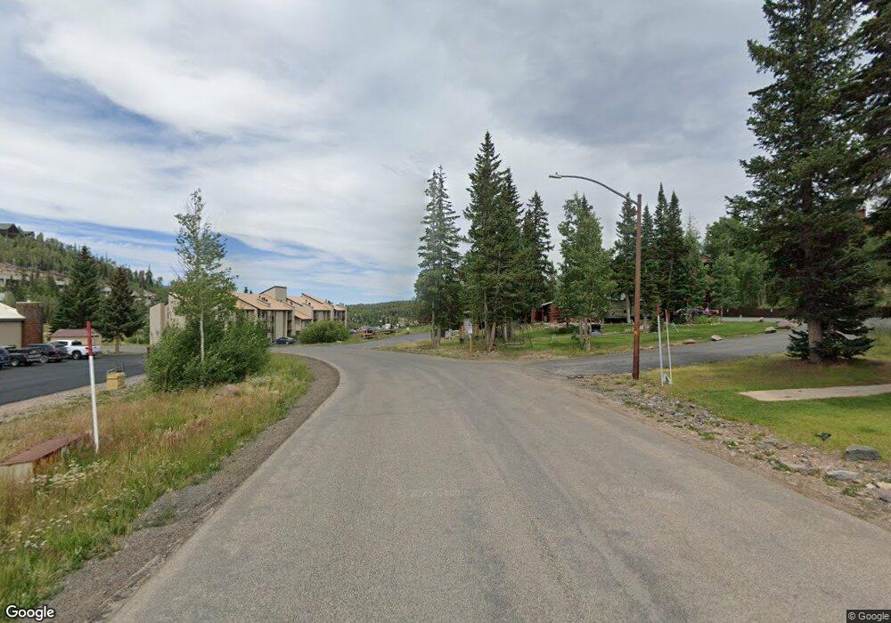
About Timberbrook Village Condos
Map
Nearby Homes
- 464 N Highway 143 Unit 105A
- 464 N Hwy 143 Unit A211
- 464 N Hwy 143 Unit A110-A111
- 464 N Hwy 143 Unit A110-111
- 464 N Hwy 143 Unit B107
- 464 N Hwy 143 Unit A308
- 464 N Hwy 143 #A211
- 464 N Hwy 143 Unit A213
- 565 N Half Circle Dr
- 223 W Hunter Ridge Dr Unit b303
- 223 W Hunter Ridge Dr Unit 3306
- 223 W Hunter Ridge Dr
- 223 W Hunter Ridge Dr Unit a314
- 223 W Hunter Ridge Dr Unit 2303
- 223 W Hunter Ridge Dr Unit 121
- 223 W Hunter Ridge Dr Unit 2314
- 223 W Hunter Ridge Dr Unit b123
- 223 W Hunter Ridge Dr Unit 1300
- 223 W Hunter Ridge Dr Unit 1300, 1310, 2314,
- 223 W Hunter Ridge Dr Unit 300
- 464 N Hwy Unit B214
- 464 N Hwy Unit 143 b304
- 464 N Hwy Unit 143 b110
- 464 N Hwy Unit 143 a207
- 464 N Hwy Unit TBV B 312
- 464 N Hwy Unit A110-1
- 464 N Hwy Unit 143 B207
- 464 N Hwy Unit A313
- 464 N Hwy
- 464 N Hwy Unit A105
- 464 N Hwy Unit 143 b102
- 464 N Hwy Unit 143 a214
- 464 N Hwy Unit 143 B301
- 464 N Hwy Unit 143 a308
- 464 N Hwy 143 #A114 Unit Timberbrook A-114
- 464 N Hwy 143 #A114
- 464 N 143 Hwy Unit A112
- 464 N Hwy 143 (Timberbrook Village) Unit 115B
- 464 N Hwy 143 # A215
- 464 N Highway Unit A101 Unit Timberbrook Village