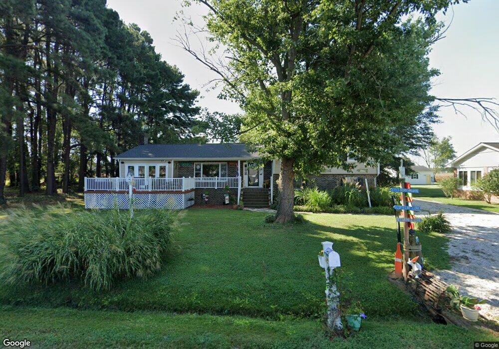
464 Riverdale Rd Tappahannock, VA 22560
Estimated Value: $469,298 - $576,000
4
Beds
2
Baths
3,000
Sq Ft
$177/Sq Ft
Est. Value
About This Home
This home is located at 464 Riverdale Rd, Tappahannock, VA 22560 and is currently estimated at $530,325, approximately $176 per square foot. 464 Riverdale Rd is a home located in Essex County with nearby schools including Tappahannock Elementary School, James H. Cary Intermediate School, and Essex High School.
Ownership History
Date
Name
Owned For
Owner Type
Purchase Details
Closed on
Sep 26, 2007
Sold by
Waring Robert E
Bought by
Knight Melvin E
Current Estimated Value
Home Financials for this Owner
Home Financials are based on the most recent Mortgage that was taken out on this home.
Original Mortgage
$149,850
Outstanding Balance
$95,263
Interest Rate
6.65%
Mortgage Type
New Conventional
Estimated Equity
$435,062
Create a Home Valuation Report for This Property
The Home Valuation Report is an in-depth analysis detailing your home's value as well as a comparison with similar homes in the area
Home Values in the Area
Average Home Value in this Area
Purchase History
| Date | Buyer | Sale Price | Title Company |
|---|---|---|---|
| Knight Melvin E | $350,000 | -- |
Source: Public Records
Mortgage History
| Date | Status | Borrower | Loan Amount |
|---|---|---|---|
| Open | Knight Melvin E | $149,850 |
Source: Public Records
Tax History Compared to Growth
Tax History
| Year | Tax Paid | Tax Assessment Tax Assessment Total Assessment is a certain percentage of the fair market value that is determined by local assessors to be the total taxable value of land and additions on the property. | Land | Improvement |
|---|---|---|---|---|
| 2025 | $2,309 | $419,800 | $70,800 | $349,000 |
| 2024 | $2,177 | $298,180 | $60,000 | $238,180 |
| 2023 | $2,177 | $298,180 | $60,000 | $238,180 |
| 2022 | $2,177 | $298,180 | $60,000 | $238,180 |
| 2021 | $986 | $298,180 | $60,000 | $238,180 |
| 2020 | $1,958 | $227,700 | $60,000 | $167,700 |
| 2019 | $2,004 | $232,300 | $60,000 | $172,300 |
| 2018 | $2,004 | $232,300 | $60,000 | $172,300 |
| 2017 | -- | $0 | $0 | $0 |
| 2016 | $2,044 | $232,300 | $0 | $0 |
| 2015 | -- | $0 | $0 | $0 |
| 2014 | -- | $0 | $0 | $0 |
| 2013 | -- | $0 | $0 | $0 |
Source: Public Records
Map
Nearby Homes
- 1113 Dillard St
- 704 Essex St
- 701 Lewis St
- 436 Duke St
- 58 Hobbs Hole Ln
- 233 Mitchells Ln
- 56 Hobbs Hole Ln
- 801 Cralle Ave
- 271 Logan Way
- 0 Logan Way Unit VAES2000806
- 0 Logan Way Unit 2500182
- 115 Logan Way
- 111 Logan Way
- 113 Logan Way
- The Bell Creek Plan at Hobbs Hole
- The Powell Plan at Hobbs Hole
- The Westport Plan at Hobbs Hole
- 439 Hobbs Hole Ln
- 00 N Church Ln
- 155 N Water Ln
- 464 Riverdale Rd
- 448 Riverdale Rd
- 471 Riverdale Rd
- 520 Riverdale Rd
- 457 Riverdale Rd
- 499 Riverdale Rd
- 515 Riverdale Rd
- 443 Riverdale Rd
- 421 Riverdale Rd
- 535 Riverdale Rd
- 406 Riverdale Rd
- 556 Riverdale Rd
- 405 Riverdale Rd
- 555 Riverdale Rd
- 379 Riverdale Rd
- 569 Riverdale Rd
- 377 Riverdale Rd
- 366 Riverdale Rd
- 582 Riverdale Rd
- 359 Riverdale Rd