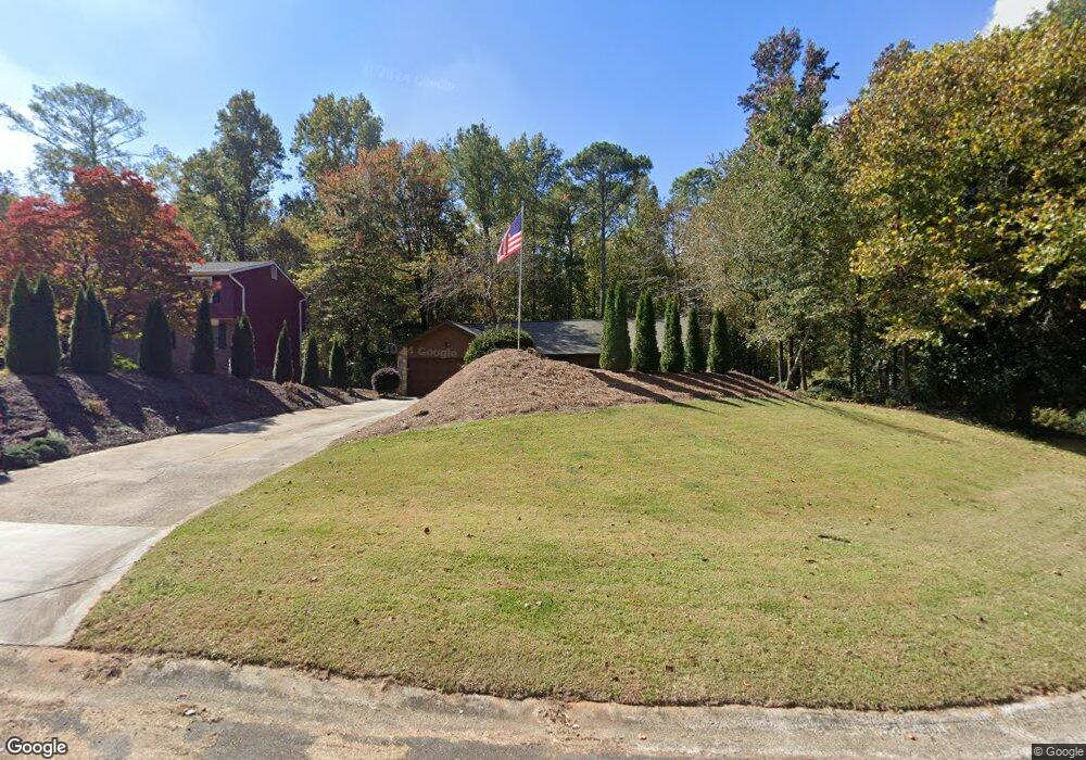
4641 N Landing Trace Unit 1A Marietta, GA 30066
Sandy Plains NeighborhoodEstimated Value: $367,446 - $388,000
3
Beds
2
Baths
1,410
Sq Ft
$269/Sq Ft
Est. Value
About This Home
This home is located at 4641 N Landing Trace Unit 1A, Marietta, GA 30066 and is currently estimated at $379,862, approximately $269 per square foot. 4641 N Landing Trace Unit 1A is a home located in Cobb County with nearby schools including Keheley Elementary School and McCleskey Middle School.
Ownership History
Date
Name
Owned For
Owner Type
Purchase Details
Closed on
Aug 27, 1998
Sold by
Miller Craig A
Bought by
Rice Gary A
Current Estimated Value
Home Financials for this Owner
Home Financials are based on the most recent Mortgage that was taken out on this home.
Original Mortgage
$109,100
Outstanding Balance
$22,899
Interest Rate
6.99%
Mortgage Type
New Conventional
Estimated Equity
$356,963
Create a Home Valuation Report for This Property
The Home Valuation Report is an in-depth analysis detailing your home's value as well as a comparison with similar homes in the area
Home Values in the Area
Average Home Value in this Area
Purchase History
| Date | Buyer | Sale Price | Title Company |
|---|---|---|---|
| Rice Gary A | $112,500 | -- |
Source: Public Records
Mortgage History
| Date | Status | Borrower | Loan Amount |
|---|---|---|---|
| Open | Rice Gary A | $109,100 |
Source: Public Records
Tax History Compared to Growth
Tax History
| Year | Tax Paid | Tax Assessment Tax Assessment Total Assessment is a certain percentage of the fair market value that is determined by local assessors to be the total taxable value of land and additions on the property. | Land | Improvement |
|---|---|---|---|---|
| 2025 | $666 | $128,868 | $36,000 | $92,868 |
| 2024 | $669 | $128,868 | $36,000 | $92,868 |
| 2023 | $464 | $129,316 | $36,000 | $93,316 |
| 2022 | $582 | $99,912 | $26,000 | $73,912 |
| 2021 | $511 | $76,112 | $24,000 | $52,112 |
| 2020 | $511 | $76,112 | $24,000 | $52,112 |
| 2019 | $496 | $71,012 | $18,400 | $52,612 |
| 2018 | $1,635 | $70,380 | $18,400 | $51,980 |
| 2017 | $1,453 | $64,380 | $18,400 | $45,980 |
| 2016 | $1,188 | $52,212 | $17,200 | $35,012 |
| 2015 | $1,078 | $46,016 | $12,000 | $34,016 |
| 2014 | $1,086 | $46,016 | $0 | $0 |
Source: Public Records
Map
Nearby Homes
- 4592 N Landing Dr
- 4509 N Landing Dr
- 4797 North Trail
- 4709 Trickum Rd NE
- 4799 North Trail
- 4509 N Bay Ct
- 4813 Highpoint Dr NE
- 4499 Browning Ct NE
- 2256 Turtle Club Dr NE Unit 1
- 1765 Blackwillow Dr
- 4924 Locklear Way
- 5009 Kingsley Manor Ct
- 4314 Keheley Lake Ct NE
- 2423 Turtle Crossing NE
- 1634 Barrier Rd
- 5100 Ravenwood Dr
- 1877 Falcon Wood Dr NE
- 4631 N Landing Trace
- 4651 N Landing Trace
- 4640 N Landing Trace Unit 25
- 4640 N Landing Trace
- 2110 North Landing
- 4660 N Landing Trace
- 4650 N Landing Trace
- 2100 N Landing Ct
- 2110 N Landing Ct
- 2120 N Landing Ct
- 2120 North Landing
- 4630 N Landing Trace
- 4620 N Landing Trace
- 4610 N Landing Trace
- 2101 N Landing Ct
- 2029 N Cove Ct
- 4600 N Landing Trail
- 4600 N Landing Trace
- N N Landing Trace Unit 25
- N N Landing Trace