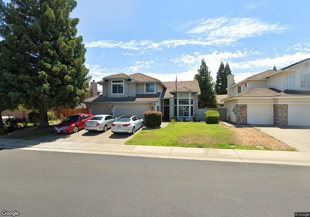
4643 Mountaingate Dr Rocklin, CA 95765
Stanford Ranch NeighborhoodEstimated Value: $690,000 - $738,000
4
Beds
3
Baths
2,173
Sq Ft
$325/Sq Ft
Est. Value
About This Home
This home is located at 4643 Mountaingate Dr, Rocklin, CA 95765 and is currently estimated at $706,405, approximately $325 per square foot. 4643 Mountaingate Dr is a home located in Placer County with nearby schools including Breen Elementary, Granite Oaks Middle, and Rocklin High.
Ownership History
Date
Name
Owned For
Owner Type
Purchase Details
Closed on
Oct 17, 1996
Sold by
Mckim Ron Construction Inc
Bought by
Paris Larry W
Current Estimated Value
Home Financials for this Owner
Home Financials are based on the most recent Mortgage that was taken out on this home.
Original Mortgage
$180,600
Outstanding Balance
$16,995
Interest Rate
8.37%
Estimated Equity
$689,410
Create a Home Valuation Report for This Property
The Home Valuation Report is an in-depth analysis detailing your home's value as well as a comparison with similar homes in the area
Home Values in the Area
Average Home Value in this Area
Purchase History
| Date | Buyer | Sale Price | Title Company |
|---|---|---|---|
| Paris Larry W | $201,000 | Placer Title Company |
Source: Public Records
Mortgage History
| Date | Status | Borrower | Loan Amount |
|---|---|---|---|
| Open | Paris Larry W | $180,600 |
Source: Public Records
Tax History
| Year | Tax Paid | Tax Assessment Tax Assessment Total Assessment is a certain percentage of the fair market value that is determined by local assessors to be the total taxable value of land and additions on the property. | Land | Improvement |
|---|---|---|---|---|
| 2025 | $3,844 | $345,652 | $97,705 | $247,947 |
| 2023 | $3,844 | $332,232 | $93,912 | $238,320 |
| 2022 | $3,722 | $325,719 | $92,071 | $233,648 |
| 2021 | $3,681 | $319,333 | $90,266 | $229,067 |
| 2020 | $3,676 | $316,060 | $89,341 | $226,719 |
| 2019 | $3,626 | $309,864 | $87,590 | $222,274 |
| 2018 | $4,505 | $303,789 | $85,873 | $217,916 |
| 2017 | $4,480 | $297,834 | $84,190 | $213,644 |
| 2016 | $4,354 | $291,995 | $82,540 | $209,455 |
| 2015 | $4,286 | $287,610 | $81,301 | $206,309 |
| 2014 | $4,794 | $281,977 | $79,709 | $202,268 |
Source: Public Records
Map
Nearby Homes
- 5112 Stratton Ct
- 2100 Wyckford Blvd
- 5116 Camden Rd
- 4814 Hartwick Rd
- 4711 Stuart St
- 3146 Golden Trail St
- 5171 Camden Rd
- 5316 Heritage Ct
- 3305 Jamboree Dr
- 1360 Bear Creek Dr
- 2823 Broken Bit Ln
- 1352 Bear Creek Dr
- 1349 Bear Creek Dr
- 3220 Camelot Dr
- 2518 Cowboy Ct
- 1218 Buck Ridge Dr
- 517 Desert Bloom Ct
- 1337 Bear Creek Dr
- 3648 Ramhorn Ridge Dr
- 1333 Bear Creek Dr
- 4641 Mountaingate Dr
- 4645 Mountaingate Dr
- 2603 Wyckford Ct
- 4639 Mountaingate Dr
- 4647 Mountaingate Dr
- 4644 Mountaingate Dr
- 4646 Mountaingate Dr
- 4642 Mountaingate Dr
- 4637 Mountaingate Dr Unit 1
- 4648 Mountaingate Dr
- 4640 Mountaingate Dr
- 2605 Wyckford Ct
- 5103 Windham Way
- 4638 Mountaingate Dr
- 5100 Stratton Ct
- 4907 Bradford Place
- 4909 Bradford Place
- 4905 Bradford Place
- 4911 Bradford Place
- 5102 Windham Way
Your Personal Tour Guide
Ask me questions while you tour the home.