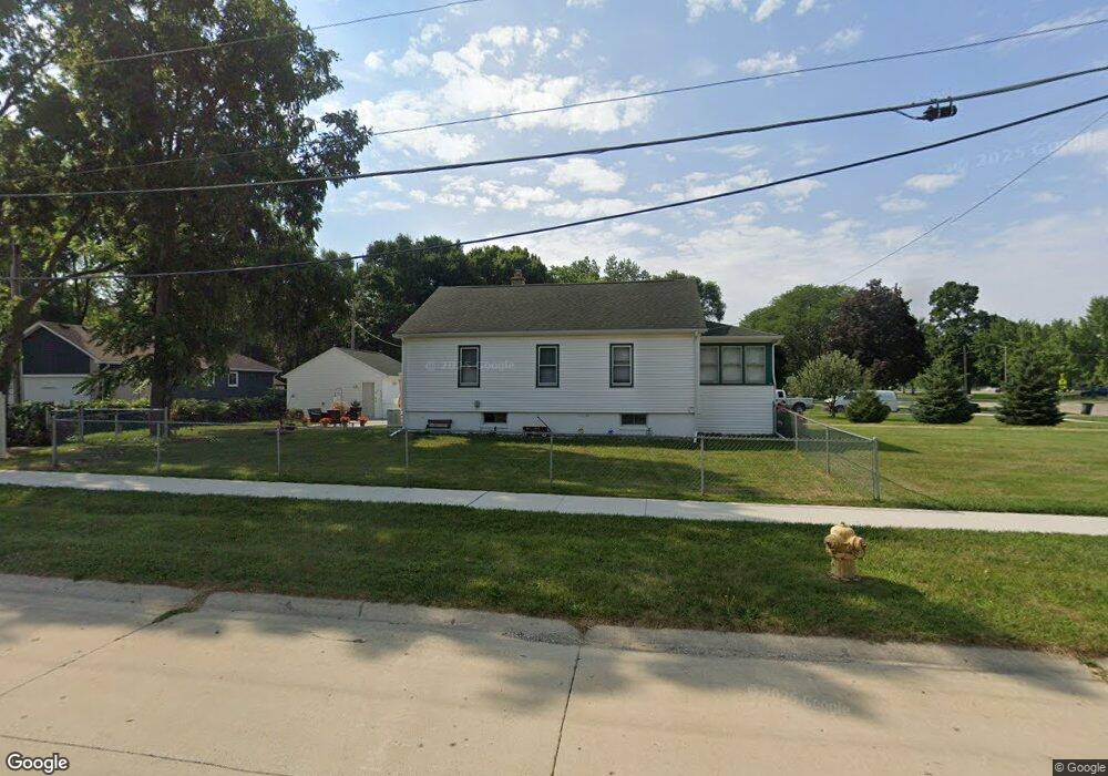
46460 Fairchild Rd Macomb, MI 48042
Estimated Value: $210,000 - $235,000
3
Beds
2
Baths
980
Sq Ft
$226/Sq Ft
Est. Value
About This Home
This home is located at 46460 Fairchild Rd, Macomb, MI 48042 and is currently estimated at $221,749, approximately $226 per square foot. 46460 Fairchild Rd is a home located in Macomb County with nearby schools including Atwood Elementary School, L'Anse Creuse Middle School - North, and L'Anse Creuse High School - North.
Ownership History
Date
Name
Owned For
Owner Type
Purchase Details
Closed on
Jul 16, 2011
Sold by
Munro Danelle I
Bought by
Munro Danelle I and Munro Jay C
Current Estimated Value
Purchase Details
Closed on
Jun 1, 2009
Sold by
Young Lucille I
Bought by
Munro Danelle I
Home Financials for this Owner
Home Financials are based on the most recent Mortgage that was taken out on this home.
Original Mortgage
$60,000
Interest Rate
6%
Mortgage Type
Seller Take Back
Create a Home Valuation Report for This Property
The Home Valuation Report is an in-depth analysis detailing your home's value as well as a comparison with similar homes in the area
Home Values in the Area
Average Home Value in this Area
Purchase History
| Date | Buyer | Sale Price | Title Company |
|---|---|---|---|
| Munro Danelle I | -- | None Available | |
| Munro Danelle I | $60,000 | Philip F Greco Title Company | |
| Young Lucille I | -- | None Available |
Source: Public Records
Mortgage History
| Date | Status | Borrower | Loan Amount |
|---|---|---|---|
| Closed | Munro Danelle I | $60,000 |
Source: Public Records
Tax History Compared to Growth
Tax History
| Year | Tax Paid | Tax Assessment Tax Assessment Total Assessment is a certain percentage of the fair market value that is determined by local assessors to be the total taxable value of land and additions on the property. | Land | Improvement |
|---|---|---|---|---|
| 2025 | $1,761 | $98,000 | $0 | $0 |
| 2024 | $1,334 | $96,100 | $0 | $0 |
| 2023 | $1,265 | $80,700 | $0 | $0 |
| 2022 | $1,597 | $79,800 | $0 | $0 |
| 2021 | $1,544 | $76,800 | $0 | $0 |
| 2020 | $1,153 | $74,400 | $0 | $0 |
| 2019 | $1,425 | $74,200 | $0 | $0 |
| 2018 | $1,388 | $66,400 | $0 | $0 |
| 2017 | $1,366 | $53,970 | $21,000 | $32,970 |
| 2016 | $1,293 | $53,970 | $0 | $0 |
| 2015 | $1,276 | $49,440 | $0 | $0 |
| 2014 | $1,276 | $43,970 | $20,500 | $23,470 |
| 2011 | $218 | $42,250 | $21,000 | $21,250 |
Source: Public Records
Map
Nearby Homes
- 24374 21 Mile Rd
- 45945 N Gratiot Ave
- 45729 N Gratiot Ave
- 6009 Gratiot Ave
- 0 Gratiot Ave
- 23592 Harrellson St
- 46132 Royal Dr
- 23206 21 Mile Rd
- 25591 Lord Dr
- 24110 Darwin St
- 45937 Duke Dr
- 25783 Rose St
- 46063 Pat St
- 46042 Pat St
- 46526 Serenity Dr
- 48132 Wakefield Dr
- 23470 Legacy Blvd
- 47215 Admirals Cove Ln Unit 17
- 389 N Gratiot Ave
- 46684 E Briarwood Dr Unit 145
- 46472 Oak Pointe Dr
- 46414 Fairchild Rd
- 46490 Oak Pointe Dr
- 46360 Fairchild Rd
- 46512 Oak Pointe Dr
- 46540 Fairchild Rd
- 46316 Fairchild Rd
- 46534 Oak Pointe Dr
- 46308 Fairchild Rd
- 46556 Oak Pointe Dr
- 46562 Fairchild Rd
- 24166 Oak Grove Blvd
- 46570 Oak Pointe Dr
- 46577 Oak Pointe Dr
- 46584 Fairchild Rd
- 24144 Oak Grove Blvd
- 46501 Fairchild Rd
- 46290 Fairchild Rd
- 46588 Oak Pointe Dr
- 46295 Brentwood St