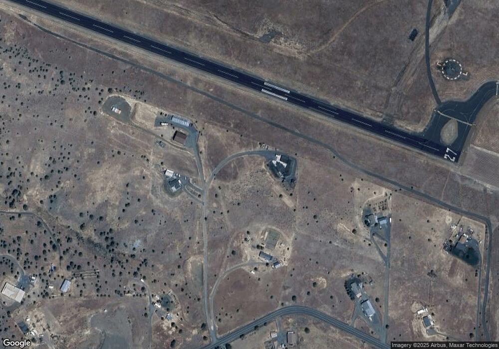
46470 Bluebird Rd John Day, OR 97845
Estimated Value: $405,000 - $550,564
--
Bed
2
Baths
1,844
Sq Ft
$269/Sq Ft
Est. Value
About This Home
This home is located at 46470 Bluebird Rd, John Day, OR 97845 and is currently estimated at $495,641, approximately $268 per square foot. 46470 Bluebird Rd is a home located in Grant County with nearby schools including Grant Union Junior/Senior High School.
Ownership History
Date
Name
Owned For
Owner Type
Purchase Details
Closed on
Jan 16, 2020
Sold by
Namitz Steven M and Namitz Brenda L
Bought by
Lang Sharon R
Current Estimated Value
Home Financials for this Owner
Home Financials are based on the most recent Mortgage that was taken out on this home.
Original Mortgage
$335,200
Outstanding Balance
$296,902
Interest Rate
3.73%
Mortgage Type
New Conventional
Estimated Equity
$198,739
Create a Home Valuation Report for This Property
The Home Valuation Report is an in-depth analysis detailing your home's value as well as a comparison with similar homes in the area
Home Values in the Area
Average Home Value in this Area
Purchase History
| Date | Buyer | Sale Price | Title Company |
|---|---|---|---|
| Lang Sharon R | $360,000 | None Available |
Source: Public Records
Mortgage History
| Date | Status | Borrower | Loan Amount |
|---|---|---|---|
| Open | Lang Sharon R | $335,200 |
Source: Public Records
Tax History Compared to Growth
Tax History
| Year | Tax Paid | Tax Assessment Tax Assessment Total Assessment is a certain percentage of the fair market value that is determined by local assessors to be the total taxable value of land and additions on the property. | Land | Improvement |
|---|---|---|---|---|
| 2024 | $3,184 | $252,408 | $70,611 | $181,797 |
| 2023 | $3,123 | $245,057 | $68,558 | $176,499 |
| 2022 | $3,035 | $237,920 | $54,565 | $183,355 |
| 2021 | $2,939 | $230,991 | $52,973 | $178,018 |
| 2020 | $3,131 | $224,264 | $51,434 | $172,830 |
| 2019 | $3,054 | $217,733 | $49,932 | $167,801 |
| 2018 | $2,965 | $211,392 | $48,479 | $162,913 |
| 2017 | $2,893 | $205,235 | $47,068 | $158,167 |
| 2016 | $2,816 | $199,258 | $38,968 | $160,290 |
| 2015 | $2,654 | $187,821 | $36,728 | $151,093 |
| 2014 | $2,654 | $187,821 | $36,728 | $151,093 |
| 2013 | $2,469 | $182,351 | $34,776 | $147,575 |
Source: Public Records
Map
Nearby Homes
- 0 Industrial Park Unit 24683015
- 26113 W Bench Rd
- 26216 W Bench Rd
- 0 Industrial Park Rd Unit 24388826
- 0 Industrial Park Rd Unit 24404920
- 0 Industrial Park Rd Unit 220186207
- 0 Industrial Park Rd Unit 220186217
- 0 Industrial Park Rd Unit 220186224
- 217 Elkview Dr
- 0 Elkview Dr Unit 22158071
- 0 Elkview Dr Unit 24255395
- 0 Elkview Dr Unit 195119069
- 0 Elkview Dr Unit 362870233
- 0 Elkview Dr Unit 24441871
- 338 Inland Dr
- 0 Blue Gulch Rd
- 1500 Elk View Dr
- 2709 Elk View Dr
- 0 SW 4th Ave Unit 24562517
- 346 N Humbolt St
- 46470 Bluebird Rd
- 26455 W Bench Rd
- 46461 Bluebird Rd
- 26355 W Bench Rd
- 26452 W Bench Rd
- 46470 W Barlow Trail Rd
- 0 Airport Way
- 72000 Airport Rd
- 0 W Bench Rd Unit 24008482
- 0 W Bench Rd Unit 10039800
- 0 W Bench Rd Unit 19366213
- 0 W Bench Rd Unit 2805066
- 0 W Bench Rd Unit 201002207
- 0 W Bench Rd Unit 201303765
- 0 W Bench Rd Unit 201909241
- 0 W Bench Rd Unit 220111334
- 0 W Bench Rd Unit 22003891
- 0 W Bench Rd Unit 615 21204031
- 0 W Bench Rd
