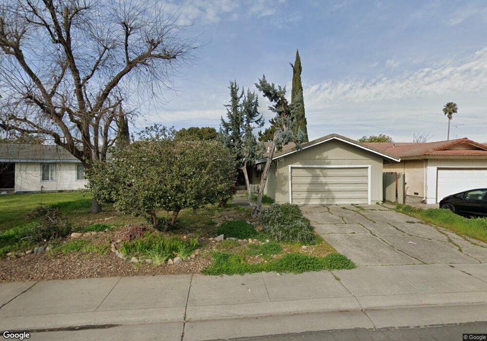
4649 Burnham Cir Stockton, CA 95207
Lincoln Village NeighborhoodEstimated Value: $357,000 - $406,000
About This Home
This home is located at 4649 Burnham Cir, Stockton, CA 95207 and is currently estimated at $385,148, approximately $253 per square foot. 4649 Burnham Cir is a home located in San Joaquin County with nearby schools including John R. Williams School, Sierra Middle School, and Lincoln High School.
Ownership History
We collect this data history from publicly available records. To have your information removed, we recommend requesting removal directly through your county’s website.
Purchase Details
Home Financials for this Owner
Home Financials are based on the most recent Mortgage that was taken out on this home.Purchase Details
Home Financials for this Owner
Home Financials are based on the most recent Mortgage that was taken out on this home.Home Values in the Area
Average Home Value in this Area
Purchase History
We collect this data history from publicly available records. To have your information removed, we recommend requesting removal directly through your county’s website.
| Date | Buyer | Sale Price | Title Company |
|---|---|---|---|
| -- | -- | ||
| -- | Old Republic Title Company |
Mortgage History
We collect this data history from publicly available records. To have your information removed, we recommend requesting removal directly through your county’s website.
| Date | Status | Borrower | Loan Amount |
|---|---|---|---|
| Open | $10,000 | ||
| Closed | $28,800 |
Tax History
We collect this data history from publicly available records. To have your information removed, we recommend requesting removal directly through your county’s website.
| Year | Tax Paid | Tax Assessment Tax Assessment Total Assessment is a certain percentage of the fair market value that is determined by local assessors to be the total taxable value of land and additions on the property. | Land | Improvement |
|---|---|---|---|---|
| 2025 | $1,544 | $120,822 | $40,611 | $80,211 |
| 2024 | $1,513 | $118,454 | $39,815 | $78,639 |
| 2023 | $1,502 | $116,133 | $39,035 | $77,098 |
| 2022 | $1,443 | $113,857 | $38,270 | $75,587 |
| 2021 | $1,425 | $111,625 | $37,520 | $74,105 |
| 2020 | $1,423 | $110,482 | $37,136 | $73,346 |
| 2019 | $1,402 | $108,316 | $36,408 | $71,908 |
| 2018 | $1,373 | $106,194 | $35,695 | $70,499 |
| 2017 | $1,347 | $104,113 | $34,996 | $69,117 |
| 2016 | $1,333 | $102,072 | $34,310 | $67,762 |
| 2014 | $1,304 | $98,570 | $33,133 | $65,437 |
Map
- 4478 Calandria St Unit 1
- 4462 Townehome Dr
- 4830 Kentfield Rd
- 542 Salem Way
- 150 Gateway Ct
- 4419 La Cresta Way Unit 1
- 240 E Bianchi Rd
- 603 E Yorkshire Dr
- 126 E Jamestown St
- 428 Caribrook Way Unit 2
- 502 Caribrook Way Unit 4
- 4452 Cotton Ct
- 5310 N El Dorado St Unit 7
- 211 E Yorkshire Dr
- 253 E Canterbury Dr
- 1120 Willow Oak
- 619 E Robinhood Dr
- 625 Beeler St
- 719 Beeler St
- 230 E Banbury Dr
- 602 Coventry Dr
- 614 Coventry Dr
- 540 Coventry Dr
- 4643 Burnham Cir
- 4655 Burnham Cir
- 626 Coventry Dr
- 528 Coventry Dr
- 601 Coventry Dr
- 613 Coventry Dr
- 4661 Burnham Cir
- 4637 Burnham Cir
- 638 Coventry Dr
- 625 Coventry Dr
- 516 Coventry Dr
- 4667 Burnham Cir
- 4805 Colebrook Way
- 4818 Colebrook Way
- 637 Coventry Dr
- 4629 Burnham Cir
- 4817 Colebrook Way
Ask me questions while you tour the home.