46492 Cannon River Rd Waterville, MN 56096
Estimated Value: $499,000 - $646,317
3
Beds
2
Baths
2,006
Sq Ft
$296/Sq Ft
Est. Value
About This Home
This home is located at 46492 Cannon River Rd, Waterville, MN 56096 and is currently estimated at $594,579, approximately $296 per square foot. 46492 Cannon River Rd is a home with nearby schools including Waterville Elementary School, Morristown Elementary School, and Waterville-Elysian-Morristown Junior High School.
Ownership History
Date
Name
Owned For
Owner Type
Purchase Details
Closed on
Dec 21, 2012
Sold by
Bohlen Curtis C and Bohlen Joyce A
Bought by
Martin Staci and Martin Joseph
Current Estimated Value
Purchase Details
Closed on
Sep 29, 2010
Sold by
Bohlen Curt and Bohlen Joyce
Bought by
Bohlen Brad and Bohlen Amy
Create a Home Valuation Report for This Property
The Home Valuation Report is an in-depth analysis detailing your home's value as well as a comparison with similar homes in the area
Home Values in the Area
Average Home Value in this Area
Purchase History
| Date | Buyer | Sale Price | Title Company |
|---|---|---|---|
| Martin Staci | -- | -- | |
| Martin Staci | $75,000 | -- | |
| Bohlen Brad | $152,000 | -- | |
| Bohlen Curtis | $342,000 | -- |
Source: Public Records
Mortgage History
| Date | Status | Borrower | Loan Amount |
|---|---|---|---|
| Closed | Bohlen Brad | -- |
Source: Public Records
Tax History Compared to Growth
Tax History
| Year | Tax Paid | Tax Assessment Tax Assessment Total Assessment is a certain percentage of the fair market value that is determined by local assessors to be the total taxable value of land and additions on the property. | Land | Improvement |
|---|---|---|---|---|
| 2025 | $5,042 | $559,900 | $141,400 | $418,500 |
| 2024 | $4,632 | $541,500 | $141,400 | $400,100 |
| 2023 | $4,454 | $523,600 | $136,400 | $387,200 |
| 2022 | $4,188 | $480,200 | $128,400 | $351,800 |
| 2021 | $4,332 | $387,300 | $103,400 | $283,900 |
| 2020 | $4,162 | $387,300 | $103,400 | $283,900 |
| 2019 | $4,012 | $367,000 | $102,313 | $264,687 |
| 2018 | $3,997 | $339,100 | $101,543 | $237,557 |
| 2017 | $3,037 | $292,400 | $92,245 | $200,155 |
| 2016 | $3,014 | $286,900 | $87,208 | $199,692 |
| 2015 | $2,999 | $286,900 | $87,208 | $199,692 |
| 2014 | $2,623 | $286,900 | $87,208 | $199,692 |
| 2013 | $886 | $97,000 | $89,100 | $7,900 |
Source: Public Records
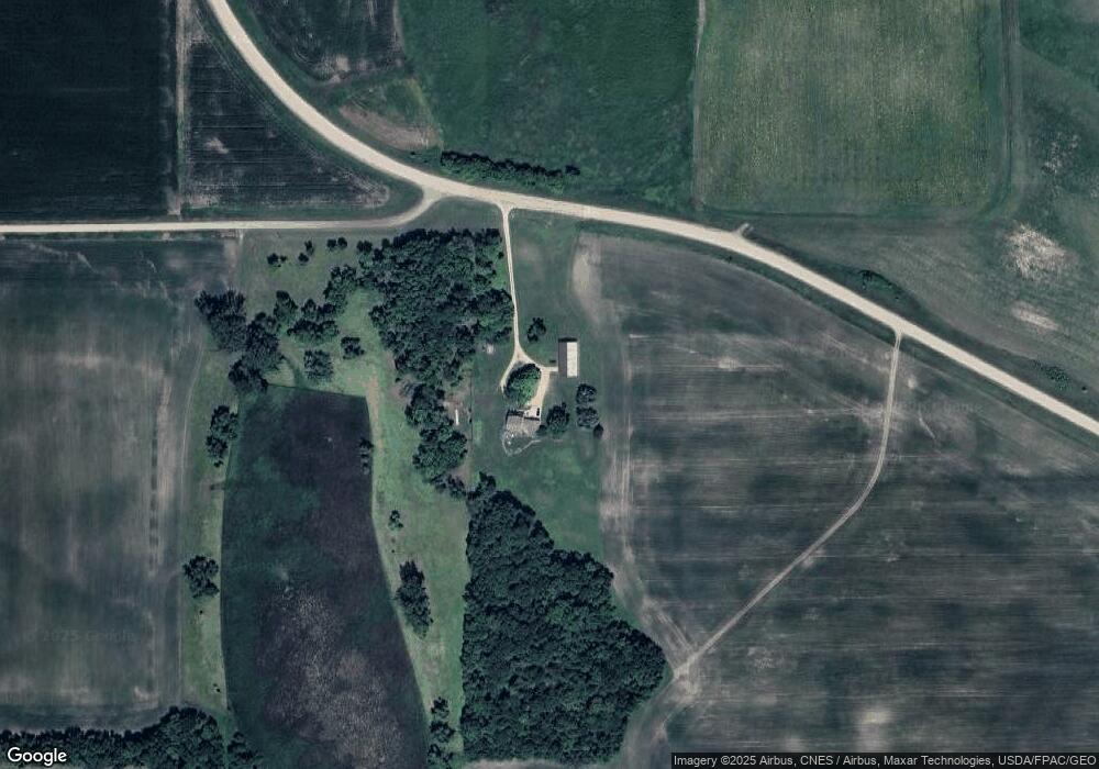
Map
Nearby Homes
- 48004 State Highway 13
- 49189 Sportsmans Ln
- 49279 Sportsmans Ln
- TBD T-165
- 0 Tbd Xxx 490th St
- 410 Knish Ct
- 19935 Dodd Rd
- 47096 Maple Leaf Ln
- 921 Lillian St
- 902 Marion St
- 730 1st St N
- 705 1st St N
- 617 1st St N
- 215 Lake St W
- 114 Reed St S
- 212 2nd St S
- 41912 205th Ave
- 124 4th St S
- 5 Marie Cir
- 4 Marie Cir