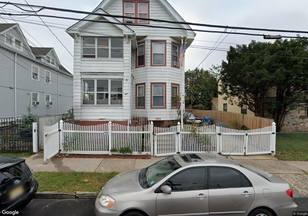
465 20th Ave Paterson, NJ 07513
Eastside NeighborhoodEstimated Value: $617,861 - $942,000
--
Bed
--
Bath
3,731
Sq Ft
$211/Sq Ft
Est. Value
About This Home
This home is located at 465 20th Ave, Paterson, NJ 07513 and is currently estimated at $787,715, approximately $211 per square foot. 465 20th Ave is a home located in Passaic County with nearby schools including Dale Avenue Elementary School, Edward W. Kilpatrick School of Discovery, and Paterson School 6.
Ownership History
Date
Name
Owned For
Owner Type
Purchase Details
Closed on
Nov 3, 2011
Sold by
Falcon Abad and Falcon Estela
Bought by
Falcon Hipolito
Current Estimated Value
Purchase Details
Closed on
Sep 24, 2008
Sold by
Falcon Hipolito and Falcon Denise
Bought by
Falcon Abad and Falcon Estela
Purchase Details
Closed on
Jan 23, 2007
Sold by
Falcon Abad
Bought by
Falcon Abad and Falcon Estela
Home Financials for this Owner
Home Financials are based on the most recent Mortgage that was taken out on this home.
Original Mortgage
$209,000
Interest Rate
6.22%
Mortgage Type
New Conventional
Create a Home Valuation Report for This Property
The Home Valuation Report is an in-depth analysis detailing your home's value as well as a comparison with similar homes in the area
Home Values in the Area
Average Home Value in this Area
Purchase History
| Date | Buyer | Sale Price | Title Company |
|---|---|---|---|
| Falcon Hipolito | -- | -- | |
| Falcon Abad | -- | -- | |
| Falcon Abad | -- | -- |
Source: Public Records
Mortgage History
| Date | Status | Borrower | Loan Amount |
|---|---|---|---|
| Previous Owner | Falcon Abad | $209,000 |
Source: Public Records
Tax History Compared to Growth
Tax History
| Year | Tax Paid | Tax Assessment Tax Assessment Total Assessment is a certain percentage of the fair market value that is determined by local assessors to be the total taxable value of land and additions on the property. | Land | Improvement |
|---|---|---|---|---|
| 2025 | $14,949 | $293,400 | $41,600 | $251,800 |
| 2024 | $14,385 | $293,400 | $41,600 | $251,800 |
| 2022 | $13,620 | $293,400 | $41,600 | $251,800 |
| 2021 | $13,133 | $293,400 | $41,600 | $251,800 |
| 2020 | $12,249 | $293,400 | $41,600 | $251,800 |
| 2019 | $11,856 | $286,800 | $40,900 | $245,900 |
| 2018 | $12,225 | $282,600 | $40,600 | $242,000 |
| 2017 | $11,665 | $280,400 | $40,300 | $240,100 |
| 2016 | $12,848 | $296,100 | $42,400 | $253,700 |
| 2015 | $12,164 | $296,100 | $42,400 | $253,700 |
| 2014 | $14,103 | $486,300 | $154,900 | $331,400 |
Source: Public Records
Map
Nearby Homes
- 495 21st Ave
- 960 E 24th St
- 777 E 26th St
- 275 19th Ave Unit 277
- 102 22nd Ave Unit 104
- 275-277 19th Ave
- 1026-1028 E 22nd St
- 447 E 34th St
- 178-180 17th Ave
- 57 18th Ave
- 248 22nd Ave
- 282-284 17th Ave
- 724 E 27th St
- 414 21st Ave
- 1048 E 22nd St
- 652 E 32nd St Unit 654
- 911 Madison Ave Unit 7
- 693 E 28th St Unit 695
- 652 654e32nd St
- 879 Madison Ave
- 461 20th Ave Unit 463
- 467 20th Ave
- 471 20th Ave Unit 1
- 471 20th Ave
- 869 E 27th St
- 475 20th Ave
- 865 E 27th St Unit 867
- 846 E 28th St
- 751-753 E 27th St
- 863 E 27th St
- 859 E 27th St Unit 861
- 701 Market St Unit 703
- 864 E 27th St Unit 866
- 857 E 27th St
- 732 Market St Unit 734
- 697 Market St Unit 699
- 860-862 E 27th St
- 860 E 27th St Unit 862
- 895 E 27th St Unit 897
- 853 E 27th St Unit 855