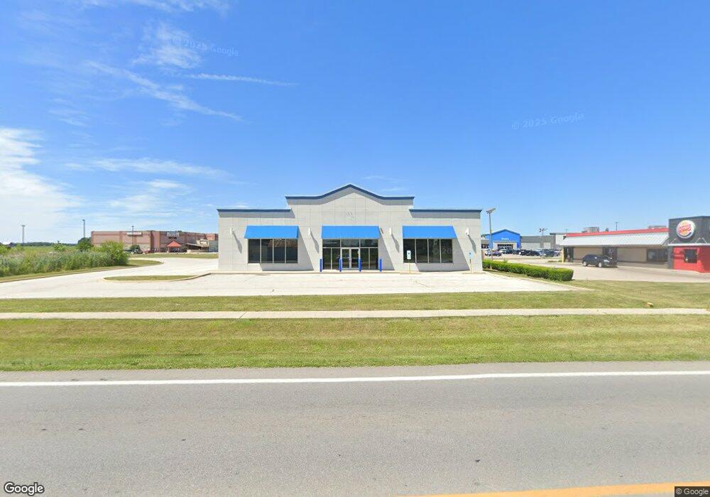
465 Airport Hwy Wauseon, OH 43567
Estimated Value: $691,374
--
Bed
2
Baths
8,000
Sq Ft
$86/Sq Ft
Est. Value
About This Home
This home is located at 465 Airport Hwy, Wauseon, OH 43567 and is currently estimated at $691,374, approximately $86 per square foot. 465 Airport Hwy is a home located in Fulton County with nearby schools including Wauseon Primary School, Wauseon Elementary School, and Wauseon Middle School.
Ownership History
Date
Name
Owned For
Owner Type
Purchase Details
Closed on
Jul 30, 2024
Sold by
C & J Capital Llc
Bought by
B & H Capital Llc
Current Estimated Value
Purchase Details
Closed on
Jun 26, 2024
Sold by
Aarons Inc
Bought by
C & J Capital Llc
Purchase Details
Closed on
Jan 28, 2009
Sold by
Hayes Carol and Darrel Hayes Living Trust
Bought by
Aaron Rents Inc
Purchase Details
Closed on
Jan 26, 2008
Sold by
Hayes Darrel L and Hayes Carol
Bought by
Hayes Carol and Darrel Hayes Living Trust
Create a Home Valuation Report for This Property
The Home Valuation Report is an in-depth analysis detailing your home's value as well as a comparison with similar homes in the area
Home Values in the Area
Average Home Value in this Area
Purchase History
| Date | Buyer | Sale Price | Title Company |
|---|---|---|---|
| B & H Capital Llc | -- | None Listed On Document | |
| B & H Capital Llc | -- | None Listed On Document | |
| C & J Capital Llc | $530,000 | None Listed On Document | |
| C & J Capital Llc | $530,000 | None Listed On Document | |
| Aaron Rents Inc | $310,000 | Lawyers Title Insurance | |
| Hayes Carol | -- | Attorney |
Source: Public Records
Tax History Compared to Growth
Tax History
| Year | Tax Paid | Tax Assessment Tax Assessment Total Assessment is a certain percentage of the fair market value that is determined by local assessors to be the total taxable value of land and additions on the property. | Land | Improvement |
|---|---|---|---|---|
| 2024 | $11,238 | $178,020 | $60,660 | $117,360 |
| 2023 | $11,238 | $178,020 | $60,660 | $117,360 |
| 2022 | $12,396 | $178,020 | $60,660 | $117,360 |
| 2021 | $12,999 | $178,020 | $60,660 | $117,360 |
| 2020 | $13,055 | $178,020 | $60,660 | $117,360 |
| 2019 | $12,634 | $170,730 | $60,270 | $110,460 |
| 2018 | $6,133 | $170,730 | $60,270 | $110,460 |
| 2017 | $11,991 | $170,730 | $60,270 | $110,460 |
| 2016 | $12,248 | $170,730 | $60,270 | $110,460 |
| 2015 | $11,583 | $170,730 | $60,270 | $110,460 |
| 2014 | $11,110 | $170,730 | $60,270 | $110,460 |
| 2013 | $10,703 | $159,040 | $60,270 | $98,770 |
Source: Public Records
Map
Nearby Homes
- 460 Airport Hwy
- 14578 Us Highway 20a
- 1338 N Park Ln
- 1270 S Park Ln
- 13354 U S 20a
- 13242 Us Highway 20a
- 1209 Apache Dr
- 801 N Shoop Ave
- 14900 County Road H
- 14900 W Co Rd H
- Integrity 1830 Plan at Arrowhead Trails
- integrity 2280 Plan at Arrowhead Trails
- Integrity 2080 Plan at Arrowhead Trails
- 1062 Seneca Dr
- 1090 Seneca Dr
- 1058 Seneca Dr
- 1066 Seneca Dr
- 227 Wabash St
- 351 E Walnut St
- 0 County Road H
- 0 Airport Hwy Unit 4632624
- 0 Airport Hwy Unit 4616253
- 0 Airport Hwy Unit 9005241
- 0 Airport Hwy Unit 4588877
- 0 Airport Hwy Unit 4604270
- 0 Airport Hwy Unit 4577142
- 380 Airport Hwy
- LOT 8 US Highway 20a
- 0 US Highway 20a
- 14224 US Highway 20a
- 476 Airport Hwy
- 350 Airport Hwy
- 340 Airport Hwy
- 300 Airport Hwy
- 00 County Road 14
- LOT 2 County Road 14
- 000 County Road 14
- 0 County Road 14
- LOT 1 County Road 14
- 1480 N Shoop Ave