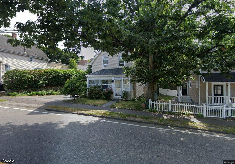
465 Central St Saugus, MA 01906
Cliftondale NeighborhoodEstimated Value: $450,000 - $609,000
2
Beds
1
Bath
996
Sq Ft
$537/Sq Ft
Est. Value
About This Home
This home is located at 465 Central St, Saugus, MA 01906 and is currently estimated at $535,296, approximately $537 per square foot. 465 Central St is a home located in Essex County with nearby schools including Saugus High School, Pioneer Charter School Of Science II, and Sacred Heart School.
Ownership History
Date
Name
Owned For
Owner Type
Purchase Details
Closed on
Mar 3, 2010
Sold by
Department Of Housing & Urban Dev
Bought by
Dao Trung Thanh
Current Estimated Value
Purchase Details
Closed on
Nov 12, 2009
Sold by
Countrywide Home Loans
Bought by
Department Of Housing & Urban Dev
Purchase Details
Closed on
Jun 24, 2009
Sold by
Boyd Kenneth L
Bought by
Countrywide Home Loans
Purchase Details
Closed on
Jun 30, 2005
Sold by
Rainsford Amy and Rainsford Keith
Bought by
Boyd Kenneth L
Purchase Details
Closed on
Nov 23, 2001
Sold by
Blaney Robert A and Blaney Michelle
Bought by
Rainsford Keith B and Rainsford Amy J
Purchase Details
Closed on
Jun 22, 1994
Sold by
Gas & Electric Ecu
Bought by
Blaney Robert A and Blaney Michelle M
Purchase Details
Closed on
Sep 28, 1993
Sold by
Tempesta Tohmas M
Bought by
Gas & Elec Emp C U
Create a Home Valuation Report for This Property
The Home Valuation Report is an in-depth analysis detailing your home's value as well as a comparison with similar homes in the area
Home Values in the Area
Average Home Value in this Area
Purchase History
| Date | Buyer | Sale Price | Title Company |
|---|---|---|---|
| Dao Trung Thanh | $150,000 | -- | |
| Department Of Housing & Urban Dev | -- | -- | |
| Countrywide Home Loans | $364,382 | -- | |
| Boyd Kenneth L | $316,500 | -- | |
| Rainsford Keith B | $230,000 | -- | |
| Blaney Robert A | $110,000 | -- | |
| Gas & Elec Emp C U | $80,500 | -- |
Source: Public Records
Mortgage History
| Date | Status | Borrower | Loan Amount |
|---|---|---|---|
| Previous Owner | Gas & Elec Emp C U | $12,883 |
Source: Public Records
Tax History
| Year | Tax Paid | Tax Assessment Tax Assessment Total Assessment is a certain percentage of the fair market value that is determined by local assessors to be the total taxable value of land and additions on the property. | Land | Improvement |
|---|---|---|---|---|
| 2025 | $4,957 | $464,100 | $280,700 | $183,400 |
| 2024 | $4,637 | $435,400 | $255,100 | $180,300 |
| 2023 | $4,574 | $406,200 | $229,600 | $176,600 |
| 2022 | $4,411 | $367,300 | $210,100 | $157,200 |
| 2021 | $4,057 | $328,800 | $182,900 | $145,900 |
| 2020 | $3,748 | $314,400 | $174,300 | $140,100 |
| 2019 | $3,622 | $297,400 | $157,300 | $140,100 |
| 2018 | $3,307 | $285,600 | $153,100 | $132,500 |
| 2017 | $3,094 | $256,800 | $142,900 | $113,900 |
| 2016 | $2,641 | $216,500 | $136,000 | $80,500 |
| 2015 | $2,479 | $206,200 | $129,500 | $76,700 |
| 2014 | $2,452 | $211,200 | $129,500 | $81,700 |
Source: Public Records
Map
Nearby Homes
- 467 Central St
- 463 Central St Unit 463
- 468 Central St
- 7 Central Place
- 8 School St
- 462 Central St
- 5 School St
- 461 Central St
- 470 Central St
- 5 Hurd Ave
- 11 Central Place
- 9 Central Place
- 9 School St
- 459 Central St
- 459 Central St Unit 1
- 6 Central Place
- 473 Central St
- 474 Central St
- 474 Central St Unit 2
- 474 Central St Unit 1
Your Personal Tour Guide
Ask me questions while you tour the home.