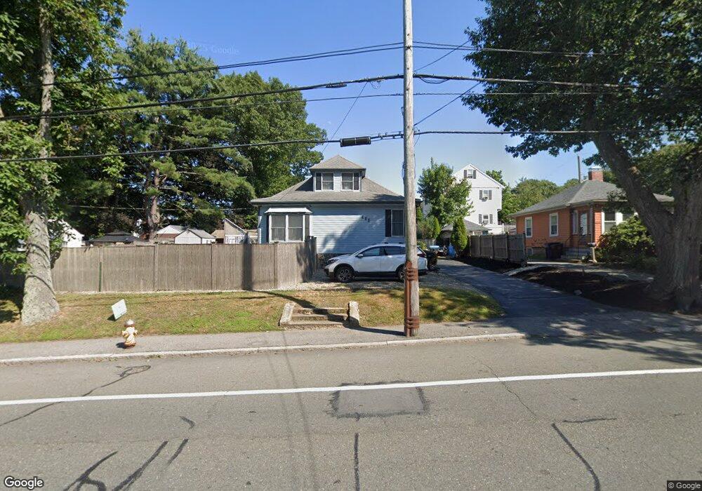
465 Loring Ave Salem, MA 01970
Vinnin Square NeighborhoodEstimated Value: $539,000 - $600,000
2
Beds
1
Bath
1,763
Sq Ft
$326/Sq Ft
Est. Value
About This Home
This home is located at 465 Loring Ave, Salem, MA 01970 and is currently estimated at $575,142, approximately $326 per square foot. 465 Loring Ave is a home located in Essex County with nearby schools including Saltonstall School, Horace Mann Laboratory, and Witchcraft Heights Elementary School.
Ownership History
Date
Name
Owned For
Owner Type
Purchase Details
Closed on
Nov 24, 2010
Sold by
Winters Stephanie P and Nolan Edward
Bought by
Winters Stephanie P and Nolan Edward
Current Estimated Value
Purchase Details
Closed on
Mar 14, 2008
Sold by
Emc Mortgage Corp
Bought by
Winters Stephanie P
Purchase Details
Closed on
Feb 5, 2007
Sold by
Emc Mortgage Corp
Bought by
Emc Mtg Corp
Purchase Details
Closed on
Apr 21, 2005
Sold by
Hayes James R
Bought by
Caban Petra and Melo Luis
Purchase Details
Closed on
May 12, 1988
Sold by
Hayes James R
Bought by
Hayes James R
Create a Home Valuation Report for This Property
The Home Valuation Report is an in-depth analysis detailing your home's value as well as a comparison with similar homes in the area
Home Values in the Area
Average Home Value in this Area
Purchase History
| Date | Buyer | Sale Price | Title Company |
|---|---|---|---|
| Winters Stephanie P | -- | -- | |
| Winters Stephanie P | $235,300 | -- | |
| Emc Mtg Corp | $288,983 | -- | |
| Caban Petra | $345,000 | -- | |
| Hayes James R | $70,000 | -- |
Source: Public Records
Mortgage History
| Date | Status | Borrower | Loan Amount |
|---|---|---|---|
| Open | Hayes James R | $202,000 | |
| Previous Owner | Hayes James R | $207,100 |
Source: Public Records
Tax History
| Year | Tax Paid | Tax Assessment Tax Assessment Total Assessment is a certain percentage of the fair market value that is determined by local assessors to be the total taxable value of land and additions on the property. | Land | Improvement |
|---|---|---|---|---|
| 2025 | $6,522 | $575,100 | $202,100 | $373,000 |
| 2024 | $6,417 | $552,200 | $202,100 | $350,100 |
| 2023 | $6,204 | $495,900 | $185,000 | $310,900 |
| 2022 | $5,965 | $450,200 | $178,100 | $272,100 |
| 2021 | $5,894 | $427,100 | $167,800 | $259,300 |
| 2020 | $5,497 | $380,400 | $150,700 | $229,700 |
| 2019 | $5,371 | $355,700 | $137,000 | $218,700 |
| 2018 | $5,154 | $335,100 | $127,400 | $207,700 |
| 2017 | $4,997 | $315,100 | $119,900 | $195,200 |
| 2016 | $4,583 | $292,500 | $97,300 | $195,200 |
| 2015 | $4,483 | $273,200 | $97,300 | $175,900 |
Source: Public Records
Map
Nearby Homes
- 469 Loring Ave
- 1002 Paradise Rd Unit PHE
- 1004 Paradise Rd Unit 1K
- 1004 Paradise Rd Unit 1L
- 49 Weatherly Dr
- 30 Weatherly Dr
- 11 Weatherly Dr
- 11 Angenica Terrace
- 28 Surrey Rd
- 8 Russell Dr Unit 7D
- 212 Humphrey St Unit 205
- 445 Essex St Unit 304
- 441 Essex St Unit 302
- 23 Marion Rd Unit B
- 3 Didio Dr
- 12 Pickwick Rd
- 16 Pickwick Rd
- 2 Ocean Ave
- 50 Mountwood Rd
- 51 Mountwood Rd
- 463 Loring Ave
- 1 Chandler Rd
- 3 Chandler Rd
- 461 Loring Ave
- 4 Linden Ave
- 5 Chandler Rd
- 492 Loring Ave
- 479 Loring Ave
- 2 Chandler Rd
- 6 Linden Ave Unit 4
- 6 Linden Ave
- 6 Linden Ave Unit 2
- 494 Loring Ave
- 488 Loring Ave
- 457 Loring Ave
- 490 Loring Ave
- 7 Chandler Rd
- 4 Chandler Rd
- 1 Linden Ave
- 1 Linden Ave Unit 1L
Your Personal Tour Guide
Ask me questions while you tour the home.