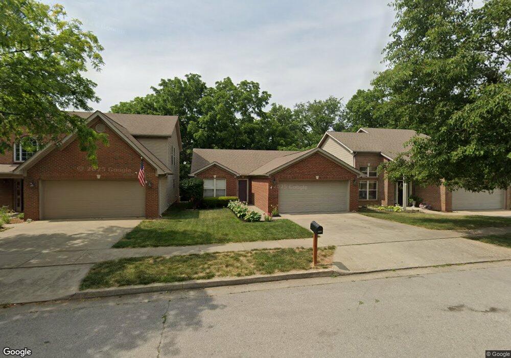
465 Lucille Dr Lexington, KY 40511
Masterson Station NeighborhoodEstimated Value: $287,000 - $295,132
3
Beds
2
Baths
1,330
Sq Ft
$219/Sq Ft
Est. Value
About This Home
This home is located at 465 Lucille Dr, Lexington, KY 40511 and is currently estimated at $291,533, approximately $219 per square foot. 465 Lucille Dr is a home located in Fayette County with nearby schools including Sandersville Elementary School, Leestown Middle School, and Bryan Station High School.
Ownership History
Date
Name
Owned For
Owner Type
Purchase Details
Closed on
Jun 18, 2012
Sold by
Zearfoss Susan M and Zearfoss Charles M
Bought by
Meo James F
Current Estimated Value
Home Financials for this Owner
Home Financials are based on the most recent Mortgage that was taken out on this home.
Original Mortgage
$98,000
Outstanding Balance
$67,949
Interest Rate
3.84%
Mortgage Type
Purchase Money Mortgage
Estimated Equity
$223,584
Purchase Details
Closed on
Oct 17, 2011
Sold by
Grooms L Michele and Grooms Stephen
Bought by
Zearfoss Susan M and Meo James F
Home Financials for this Owner
Home Financials are based on the most recent Mortgage that was taken out on this home.
Original Mortgage
$99,200
Interest Rate
4.26%
Mortgage Type
Purchase Money Mortgage
Create a Home Valuation Report for This Property
The Home Valuation Report is an in-depth analysis detailing your home's value as well as a comparison with similar homes in the area
Home Values in the Area
Average Home Value in this Area
Purchase History
| Date | Buyer | Sale Price | Title Company |
|---|---|---|---|
| Meo James F | $62,000 | -- | |
| Zearfoss Susan M | $124,000 | -- |
Source: Public Records
Mortgage History
| Date | Status | Borrower | Loan Amount |
|---|---|---|---|
| Open | Zearfoss Susan M | $98,000 | |
| Previous Owner | Zearfoss Susan M | $99,200 |
Source: Public Records
Tax History Compared to Growth
Tax History
| Year | Tax Paid | Tax Assessment Tax Assessment Total Assessment is a certain percentage of the fair market value that is determined by local assessors to be the total taxable value of land and additions on the property. | Land | Improvement |
|---|---|---|---|---|
| 2024 | $2,230 | $180,300 | $0 | $0 |
| 2023 | $2,230 | $180,300 | $0 | $0 |
| 2022 | $2,303 | $180,300 | $0 | $0 |
| 2021 | $2,303 | $180,300 | $0 | $0 |
| 2020 | $1,747 | $136,800 | $0 | $0 |
| 2019 | $1,747 | $136,800 | $0 | $0 |
| 2018 | $1,747 | $136,800 | $0 | $0 |
| 2017 | $1,665 | $136,800 | $0 | $0 |
| 2015 | $1,343 | $124,000 | $0 | $0 |
| 2014 | $1,343 | $124,000 | $0 | $0 |
| 2012 | $1,343 | $124,000 | $0 | $0 |
Source: Public Records
Map
Nearby Homes
- 2766 Sandersville Rd
- 349 Silver Creek Way
- 2625 Mable Ln
- 2720 Mission Hills Dr
- 276 Valley Brook Dr
- 297 Lucille Dr
- 559 Estrella Dr
- 293 Lucille Dr
- 2805 Morsen Point
- 306 Alex Ln
- 601 Hopewell Park
- 624 Kenova Trace
- 2705 Michelle Park
- 2745 Michelle Park
- 2720 Michelle Park
- 2528 Maggie Cove
- 2617 Buck Ln
- 1205 Colter Pass
- 637 Skyview Ln
- 2649 Michelle Park
- 461 Lucille Dr
- 457 Lucille Dr
- 453 Lucille Dr
- 473 Lucille Dr
- 460 Lucille Dr
- 449 Lucille Dr
- 472 Lucille Dr
- 445 Lucille Dr
- 481 Lucille Dr
- 476 Lucille Dr
- 452 Lucille Dr
- 448 Lucille Dr
- 441 Lucille Dr
- 396 Masterson Station Dr
- 400 Masterson Station Dr
- 485 Lucille Dr
- 480 Lucille Dr
- 392 Masterson Station Dr
- 404 Masterson Station Dr