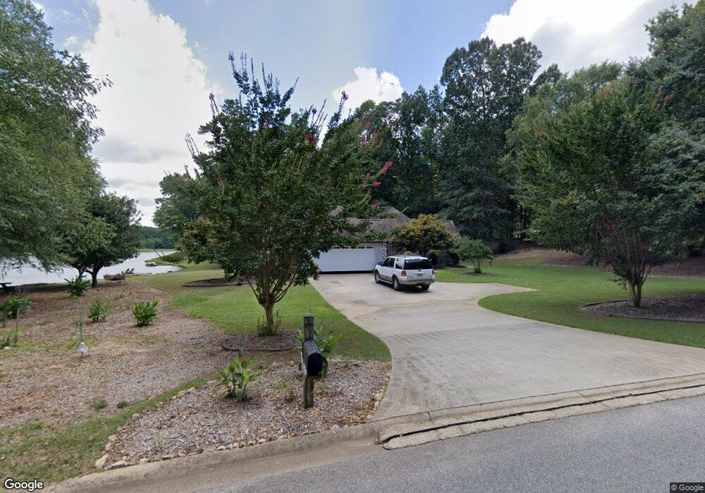
465 Pendleton Trail Tyrone, GA 30290
Estimated Value: $429,614 - $537,000
Studio
1
Bath
2,264
Sq Ft
$207/Sq Ft
Est. Value
About This Home
This home is located at 465 Pendleton Trail, Tyrone, GA 30290 and is currently estimated at $467,904, approximately $206 per square foot. 465 Pendleton Trail is a home located in Fayette County with nearby schools including Robert J. Burch Elementary School, Flat Rock Middle School, and Sandy Creek High School.
Ownership History
Date
Name
Owned For
Owner Type
Purchase Details
Closed on
Oct 15, 2004
Sold by
Brooks Max E and Brooks Jacoba G
Bought by
Larson Patricia
Current Estimated Value
Home Financials for this Owner
Home Financials are based on the most recent Mortgage that was taken out on this home.
Original Mortgage
$100,000
Interest Rate
5.64%
Mortgage Type
New Conventional
Purchase Details
Closed on
Jul 3, 1996
Sold by
Land Shares Inc
Bought by
Brooks Max E Jacoba G W
Create a Home Valuation Report for This Property
The Home Valuation Report is an in-depth analysis detailing your home's value as well as a comparison with similar homes in the area
Home Values in the Area
Average Home Value in this Area
Purchase History
| Date | Buyer | Sale Price | Title Company |
|---|---|---|---|
| Larson Patricia | $280,000 | -- | |
| Brooks Max E Jacoba G W | $165,000 | -- |
Source: Public Records
Mortgage History
| Date | Status | Borrower | Loan Amount |
|---|---|---|---|
| Closed | Larson Patricia | $100,000 |
Source: Public Records
Tax History
| Year | Tax Paid | Tax Assessment Tax Assessment Total Assessment is a certain percentage of the fair market value that is determined by local assessors to be the total taxable value of land and additions on the property. | Land | Improvement |
|---|---|---|---|---|
| 2025 | $1,738 | $178,031 | $35,096 | $142,935 |
| 2024 | $1,698 | $166,384 | $32,800 | $133,584 |
| 2023 | $1,474 | $153,000 | $32,800 | $120,200 |
| 2022 | $1,546 | $148,080 | $32,800 | $115,280 |
| 2021 | $2,360 | $125,920 | $23,400 | $102,520 |
| 2020 | $2,643 | $127,360 | $23,400 | $103,960 |
| 2019 | $2,569 | $122,640 | $23,400 | $99,240 |
| 2018 | $2,429 | $115,200 | $23,400 | $91,800 |
| 2017 | $2,290 | $108,120 | $23,400 | $84,720 |
| 2016 | $2,069 | $95,600 | $23,400 | $72,200 |
| 2015 | $1,943 | $88,440 | $23,400 | $65,040 |
| 2014 | $1,749 | $78,240 | $23,400 | $54,840 |
| 2013 | -- | $77,080 | $0 | $0 |
Source: Public Records
Map
Nearby Homes
- 365 Pendleton Trail
- 215 Berry Hill Ln
- 110 Sunflower St
- 140 Julie Rd
- 345 Gaelic Way
- 230 Gaelic Way
- 0 Georgia 74
- 0 Erwin Run Unit 10585589
- 109 Hampshire Trace
- 250 Chimney Springs
- 260 Chimney Springs Rd
- 155 Dean Dr
- 140 Devonshire Place
- 1211 Sandy Creek Rd
- 175 Annabelle Ln
- 105 Scott Blvd
- 447 Adams Rd
- 403 Carriage Oaks Dr
- 125 Meadowview Cir
- 110 Wickham Dr
- 175 Brennan Dr
- 475 Pendleton Trail
- 180 Brennan Dr
- 470 Pendleton Trail
- 165 Brennan Dr
- 455 Pendleton Trail
- 460 Pendleton Trail
- 155 Brennan Dr
- 160 Brennan Dr
- 160 Brennan Dr Unit 372
- 485 Pendleton Trail
- 110 Libby Ln
- 445 Pendleton Trail Unit 368
- 445 Pendleton Trail
- 155 Penbrooke Dr
- 100 Libby Ln
- 450 Pendleton Trail
- 120 Libby Ln
- 145 Penbrooke Dr
- 145 Brennan Dr
Your Personal Tour Guide
Ask me questions while you tour the home.