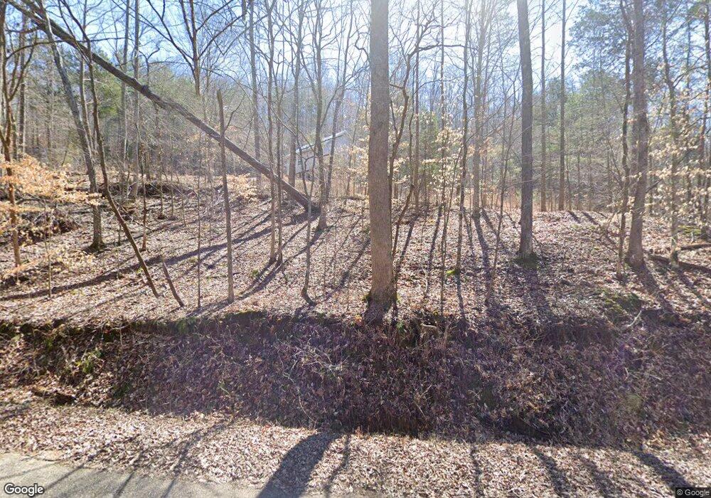
465 Sewell Branch Rd Clifton, TN 38425
Estimated Value: $79,000 - $176,000
--
Bed
2
Baths
--
Sq Ft
10.43
Acres
About This Home
This home is located at 465 Sewell Branch Rd, Clifton, TN 38425 and is currently estimated at $115,077. 465 Sewell Branch Rd is a home located in Perry County.
Ownership History
Date
Name
Owned For
Owner Type
Purchase Details
Closed on
May 25, 2022
Sold by
Mae Martin Rita
Bought by
Frederick Pevril and Frederick Stacy
Current Estimated Value
Purchase Details
Closed on
Oct 10, 2016
Sold by
Gostrong Corp
Bought by
Martin Ritamae
Home Financials for this Owner
Home Financials are based on the most recent Mortgage that was taken out on this home.
Original Mortgage
$43,000
Interest Rate
3.5%
Mortgage Type
New Conventional
Purchase Details
Closed on
Feb 8, 2016
Sold by
Billman Jack
Bought by
Gostrong Corp
Purchase Details
Closed on
Sep 13, 2002
Bought by
Billman Jack
Create a Home Valuation Report for This Property
The Home Valuation Report is an in-depth analysis detailing your home's value as well as a comparison with similar homes in the area
Home Values in the Area
Average Home Value in this Area
Purchase History
| Date | Buyer | Sale Price | Title Company |
|---|---|---|---|
| Frederick Pevril | $6,000 | None Listed On Document | |
| Martin Ritamae | $45,000 | -- | |
| Gostrong Corp | $500 | -- | |
| Billman Jack | $45,000 | -- | |
| Hemsher Connie A | $35,400 | -- |
Source: Public Records
Mortgage History
| Date | Status | Borrower | Loan Amount |
|---|---|---|---|
| Previous Owner | Martin Ritamae | $43,000 |
Source: Public Records
Tax History Compared to Growth
Tax History
| Year | Tax Paid | Tax Assessment Tax Assessment Total Assessment is a certain percentage of the fair market value that is determined by local assessors to be the total taxable value of land and additions on the property. | Land | Improvement |
|---|---|---|---|---|
| 2025 | $148 | $6,425 | $0 | $0 |
| 2024 | $148 | $6,425 | $6,425 | $0 |
| 2023 | $148 | $6,425 | $6,425 | $0 |
| 2022 | $153 | $6,675 | $6,675 | $0 |
| 2021 | $153 | $6,675 | $6,675 | $0 |
| 2020 | $153 | $6,675 | $6,675 | $0 |
| 2019 | $166 | $6,675 | $6,675 | $0 |
| 2018 | $166 | $6,675 | $6,675 | $0 |
| 2017 | $164 | $6,675 | $6,675 | $0 |
| 2016 | $164 | $6,675 | $6,675 | $0 |
| 2015 | $160 | $6,675 | $6,675 | $0 |
| 2014 | $160 | $6,675 | $6,675 | $0 |
| 2013 | $611 | $25,430 | $0 | $0 |
Source: Public Records
Map
Nearby Homes
- 0 Sewell Branch Rd
- 0 New Era Ridge Rd Unit RTC2991826
- 0 New Era Ridge Rd Unit 25219806
- 3202 Lego School Rd
- 555 New Era Bluff Rd
- 0 Phillips Rd
- 1 New Era Landing Rd
- 468 Phillips Rd
- 351 New Era Landing Rd
- 0 New Era Landing Unit 17800450
- 0 New Era Landing Unit RTC2554791
- 91 Creekside View Ln
- 1040 Whites Creek Ln
- 224 Peters Landing Rd
- 168 Mackin Rd
- 7525 Mount Carmel Rd
- 0 Flippo Branch Rd
- 2 Kellys Landing Dr
- 3 Kellys Landing Rd
- 1 Kellys Landing Rd
- 759 Sewell Branch Rd
- 0 Sewell Branch Rd Unit 1830330
- 0 Sewell Branch Rd Unit 1666379
- 0 Sewell Branch Rd Unit 2000839
- 1253 Whiteoak Rd E
- 950 Sewell Branch Rd
- Clifton Rd
- 480 Sewell Branch Rd
- 1020 Sewell Branch Rd
- 8729 Tennessee 128
- 1114 Sewell Branch Rd
- 1026 Sewell Branch Rd
- 8729 Tennessee 128
- 0 Hwy 128 Unit RTC2011073
- 0 Hwy 128 Unit RTC2011131
- 0 Hwy 128 Unit RTC2450772
- 1210 Chapel Farm Rd
- 8589 Highway 128
- 1084 Whiteoak Rd E
- 8489 Highway 128
