465 Snead Dr N Keizer, OR 97303
Estimated Value: $633,689 - $755,000
3
Beds
3
Baths
2,401
Sq Ft
$287/Sq Ft
Est. Value
About This Home
This home is located at 465 Snead Dr N, Keizer, OR 97303 and is currently estimated at $689,422, approximately $287 per square foot. 465 Snead Dr N is a home located in Marion County with nearby schools including Keizer Elementary School, Claggett Creek Middle School, and McNary High School.
Ownership History
Date
Name
Owned For
Owner Type
Purchase Details
Closed on
Jul 5, 2016
Sold by
Trout Stephen W
Bought by
Trout Stephen W and Dixie L Trout Residuary Trust
Current Estimated Value
Purchase Details
Closed on
Jan 28, 2010
Sold by
Mills Norman D and Mills Sonya K
Bought by
Trout Stephen W and Trout Dixie L
Purchase Details
Closed on
May 23, 2006
Sold by
Paulsell W G and Paulsell Bruce J
Bought by
Mills Norman D and Mills Sonya K
Home Financials for this Owner
Home Financials are based on the most recent Mortgage that was taken out on this home.
Original Mortgage
$225,000
Interest Rate
6.46%
Mortgage Type
Fannie Mae Freddie Mac
Purchase Details
Closed on
Feb 25, 2003
Sold by
Reloaction
Bought by
Paulsell W G and Paulsell Bruce L
Purchase Details
Closed on
Nov 9, 2002
Sold by
Barrett Donald M and Barrett Diane
Bought by
Reloaction
Create a Home Valuation Report for This Property
The Home Valuation Report is an in-depth analysis detailing your home's value as well as a comparison with similar homes in the area
Home Values in the Area
Average Home Value in this Area
Purchase History
| Date | Buyer | Sale Price | Title Company |
|---|---|---|---|
| Trout Stephen W | -- | None Available | |
| Trout Stephen W | $355,000 | First American | |
| Mills Norman D | $370,000 | Ticor Title | |
| Paulsell W G | $267,500 | -- | |
| Reloaction | -- | -- |
Source: Public Records
Mortgage History
| Date | Status | Borrower | Loan Amount |
|---|---|---|---|
| Previous Owner | Mills Norman D | $225,000 |
Source: Public Records
Tax History Compared to Growth
Tax History
| Year | Tax Paid | Tax Assessment Tax Assessment Total Assessment is a certain percentage of the fair market value that is determined by local assessors to be the total taxable value of land and additions on the property. | Land | Improvement |
|---|---|---|---|---|
| 2025 | $7,140 | $434,710 | -- | -- |
| 2024 | $7,140 | $422,050 | -- | -- |
| 2023 | $6,797 | $409,760 | $0 | $0 |
| 2022 | $6,400 | $397,830 | $0 | $0 |
| 2021 | $6,197 | $386,250 | $0 | $0 |
| 2020 | $6,032 | $375,000 | $0 | $0 |
| 2019 | $5,796 | $364,080 | $0 | $0 |
| 2018 | $5,895 | $0 | $0 | $0 |
| 2017 | $5,287 | $0 | $0 | $0 |
| 2016 | $5,046 | $0 | $0 | $0 |
| 2015 | $4,965 | $0 | $0 | $0 |
| 2014 | $4,988 | $0 | $0 | $0 |
Source: Public Records
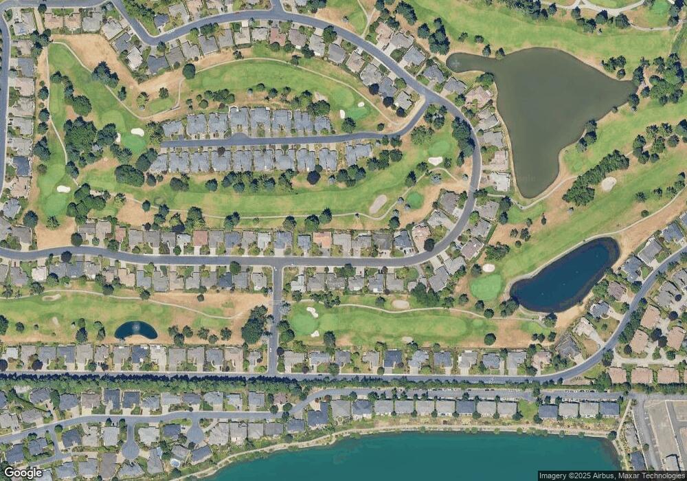
Map
Nearby Homes
- 475 Snead Dr N
- 452 Fountain Ct N
- 542 Fountain Ct N
- 282 Crystal Springs Ln N Unit 282
- 6102 Trevino Ct N
- 391 McNary Heights Dr N
- 371 McNary Heights Dr N
- 271 McNary Heights Dr N
- 6467 Hogan Dr N
- 493 Lakefair Cir N
- 507 Lakefair Place N
- 845 Sonata Ln N
- 336 Bolf Terrace N
- 6719 Westridge Ct N
- 5355 River Rd N
- 5355 River Rd N Unit 85
- 5355 River Rd N Unit 78
- 5355 River Rd N Unit 126
- 5749 Waterford Way N
- 965 Sagrada Cir N
- 455 Snead Dr N
- 435 Snead Dr N
- 485 Snead Dr N
- 470 Snead Dr N
- 460 Snead Dr N
- 480 Snead Dr N
- 450 Snead Dr N
- 425 Snead Dr N
- 490 Snead Dr N
- 430 Snead Dr N
- 519 Snead Dr N
- 385 Snead Dr N
- 462 Fountain Ct N
- 468 Fountain Ct N
- 472 Fountain Ct N
- 420 Snead Dr N
- 482 Fountain Ct N
- 520 Snead Dr N
- 492 Fountain Ct N
- 529 Snead Dr N