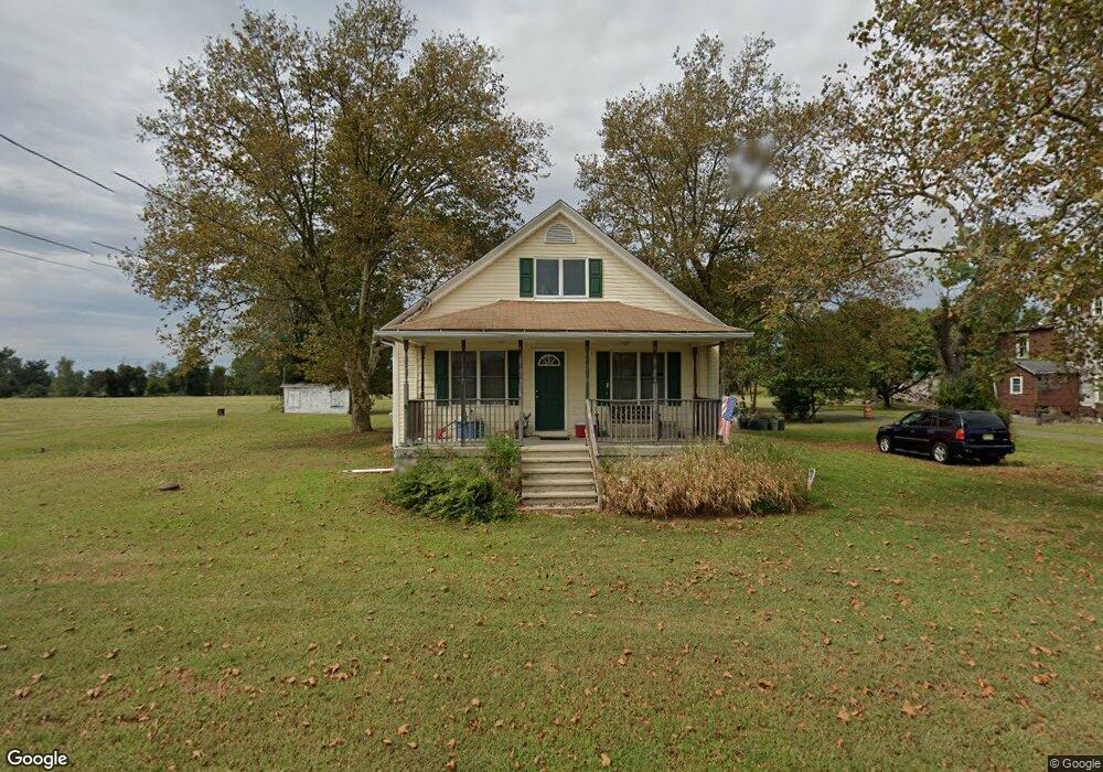
465 Swedesboro Ave Gibbstown, NJ 08027
Greenwich Township NeighborhoodEstimated Value: $287,100 - $332,000
--
Bed
--
Bath
1,531
Sq Ft
$200/Sq Ft
Est. Value
About This Home
This home is located at 465 Swedesboro Ave, Gibbstown, NJ 08027 and is currently estimated at $306,525, approximately $200 per square foot. 465 Swedesboro Ave is a home located in Gloucester County with nearby schools including Nehaunsey Middle School and Guardian Angels Regional School.
Ownership History
Date
Name
Owned For
Owner Type
Purchase Details
Closed on
Nov 4, 2005
Sold by
Jackson Janice and Jackson Chad
Bought by
Minix Randy and Minix Tammi
Current Estimated Value
Home Financials for this Owner
Home Financials are based on the most recent Mortgage that was taken out on this home.
Original Mortgage
$140,000
Interest Rate
5.62%
Mortgage Type
Fannie Mae Freddie Mac
Purchase Details
Closed on
Jul 19, 2004
Sold by
Hud
Bought by
Jackson Chad and Jackson Janice
Purchase Details
Closed on
Jun 23, 2004
Sold by
Schwebel Fred and Schwebel Gina
Bought by
Hud
Create a Home Valuation Report for This Property
The Home Valuation Report is an in-depth analysis detailing your home's value as well as a comparison with similar homes in the area
Home Values in the Area
Average Home Value in this Area
Purchase History
| Date | Buyer | Sale Price | Title Company |
|---|---|---|---|
| Minix Randy | $217,000 | -- | |
| Jackson Chad | $107,000 | Independence Abstract & Titl | |
| Hud | -- | Independence Abstract & Titl |
Source: Public Records
Mortgage History
| Date | Status | Borrower | Loan Amount |
|---|---|---|---|
| Closed | Minix Randy | $140,000 |
Source: Public Records
Tax History Compared to Growth
Tax History
| Year | Tax Paid | Tax Assessment Tax Assessment Total Assessment is a certain percentage of the fair market value that is determined by local assessors to be the total taxable value of land and additions on the property. | Land | Improvement |
|---|---|---|---|---|
| 2025 | $5,285 | $153,500 | $37,000 | $116,500 |
| 2024 | $5,007 | $153,500 | $37,000 | $116,500 |
| 2023 | $5,007 | $153,500 | $37,000 | $116,500 |
| 2022 | $5,010 | $153,500 | $37,000 | $116,500 |
| 2021 | $4,958 | $153,500 | $37,000 | $116,500 |
| 2020 | $5,027 | $153,500 | $37,000 | $116,500 |
| 2019 | $5,030 | $153,500 | $37,000 | $116,500 |
| 2018 | $4,887 | $153,500 | $37,000 | $116,500 |
| 2017 | $4,769 | $153,500 | $37,000 | $116,500 |
| 2016 | $4,717 | $153,500 | $37,000 | $116,500 |
| 2015 | $4,565 | $153,500 | $37,000 | $116,500 |
| 2014 | $4,369 | $153,500 | $37,000 | $116,500 |
Source: Public Records
Map
Nearby Homes
- 0 Rd Unit NJGL2061600
- 123 W Tomlin Station Rd
- 0 S Democrat Rd Unit NJGL2065008
- 71 W Tomlin Station Rd
- 0 Swedesboro Ave Unit NJGL2061592
- 792 Paulsboro Rd
- 788 Paulsboro Rd
- 43 45 Repaupo Station Rd
- 78 W Tomlin Station Rd
- 50 Mill Rd
- 410 Country Way
- 159 Mill Rd
- 157 S Poplar St
- 126 Repaupo Station Rd
- 100 Giammarino Ave
- 132 Tomlin Station Rd
- 433 Jefferson St
- 752 Duncan Ave
- W Broad St
- 560 Partridge Ct
- 598 Tomlin Rd
- 163 Swedesboro Ave
- 188 W Tomlin Station Rd
- 575 Tomlin Rd
- 536 Tomlin Rd
- 174 W Tomlin Station Rd
- 174 W Tomlin Station Rd Unit 2
- 174 W Tomlin Station Rd Unit 5
- 174 W Tomlin Station Rd Unit 1 MAIN HOUSE
- 635 Swedesboro Rd
- 625 Swedesboro Rd
- 588 Swedesboro Ave
- 540 Tomlin Rd
- 560 Tomlin Rd
- 580 Tomlin Rd
- 584 Tomlin Rd
- 437 Swedesboro Ave
- 690 Swedesboro Rd
- 649 Swedesboro Rd
- 162 W Tomlin Station Rd