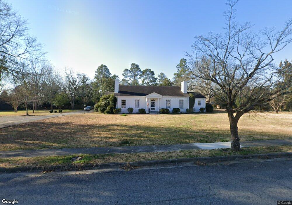
465 W Forrest St Harlem, GA 30814
Estimated Value: $409,000 - $463,000
4
Beds
4
Baths
3,983
Sq Ft
$107/Sq Ft
Est. Value
About This Home
This home is located at 465 W Forrest St, Harlem, GA 30814 and is currently estimated at $427,828, approximately $107 per square foot. 465 W Forrest St is a home located in Columbia County with nearby schools including North Harlem Elementary School, Harlem Middle School, and Harlem High School.
Ownership History
Date
Name
Owned For
Owner Type
Purchase Details
Closed on
Aug 17, 2020
Sold by
Connor R Allen
Bought by
Wilder Michael
Current Estimated Value
Home Financials for this Owner
Home Financials are based on the most recent Mortgage that was taken out on this home.
Original Mortgage
$331,520
Outstanding Balance
$293,533
Interest Rate
2.9%
Mortgage Type
VA
Estimated Equity
$134,295
Purchase Details
Closed on
Mar 12, 2009
Sold by
Tracy Francis William
Bought by
Connor R Allen
Create a Home Valuation Report for This Property
The Home Valuation Report is an in-depth analysis detailing your home's value as well as a comparison with similar homes in the area
Home Values in the Area
Average Home Value in this Area
Purchase History
| Date | Buyer | Sale Price | Title Company |
|---|---|---|---|
| Wilder Michael | $320,000 | -- | |
| Connor R Allen | $230,000 | -- |
Source: Public Records
Mortgage History
| Date | Status | Borrower | Loan Amount |
|---|---|---|---|
| Open | Wilder Michael | $331,520 |
Source: Public Records
Tax History Compared to Growth
Tax History
| Year | Tax Paid | Tax Assessment Tax Assessment Total Assessment is a certain percentage of the fair market value that is determined by local assessors to be the total taxable value of land and additions on the property. | Land | Improvement |
|---|---|---|---|---|
| 2025 | $4,783 | $157,353 | $22,254 | $135,099 |
| 2024 | $5,217 | $165,443 | $16,664 | $148,779 |
| 2023 | $5,217 | $131,779 | $14,844 | $116,935 |
| 2022 | $3,782 | $117,642 | $13,284 | $104,358 |
| 2021 | $3,766 | $112,450 | $11,204 | $101,246 |
| 2020 | $3,606 | $105,972 | $10,294 | $95,678 |
| 2019 | $3,814 | $111,827 | $15,234 | $96,593 |
| 2018 | $3,431 | $99,576 | $10,034 | $89,542 |
| 2017 | $3,211 | $93,034 | $10,164 | $82,870 |
| 2016 | $3,075 | $91,350 | $9,100 | $82,250 |
| 2015 | $2,940 | $89,887 | $8,840 | $81,047 |
| 2014 | $2,682 | $83,830 | $11,050 | $72,780 |
Source: Public Records
Map
Nearby Homes
- 385 W Trippe St
- 114 Headwaters Dr
- 119 Headwaters Dr
- 315 N Bell St
- 342 Tupelo Pass
- 349 Tupelo Pass
- 347 Tupelo Pass
- 343 Tupelo Pass
- 346 Tupelo Pass
- 344 Tupelo Pass
- 2115 Lavender Trail
- 330 Tupelo Pass
- 330 Black Oak Dr
- 340 Tupelo Pass
- 340 Black Oak Dr
- 328 Tupelo Pass
- 328 Black Oak Dr
- 331 Black Oak Dr
- 175 W Trippe St
- 435 W Forrest St
- 350 W Boundary St
- 390 N Fairview Dr
- 295 Fairview Dr
- 480 W Forrest St
- 330 W Boundary St
- 330 N Fairview Dr
- 410 N Fairview Dr
- 420 W Forrest St
- 285 N Fairview Dr
- 305 Paschal St
- 300 W Boundary St
- 335 Paschal St
- 420 N Fairview Dr
- 415 Paschal St
- 285 Paschal St
- 273 N Fairview Dr
- 280 S Fairview Dr
- 430 S Fairview Dr
- 430 S Fairview Dr