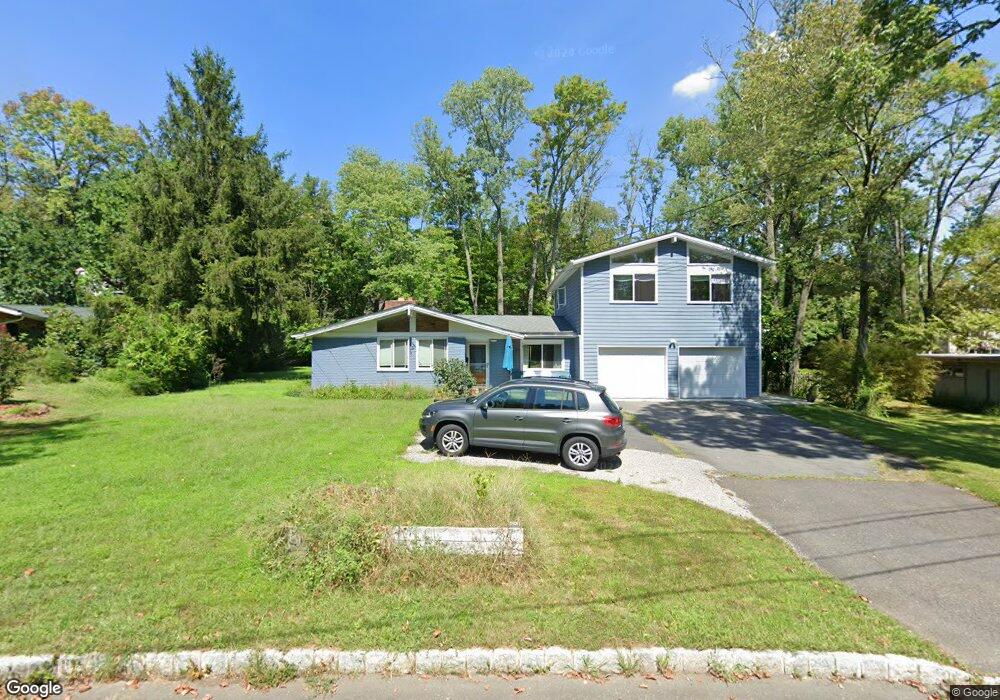
465 Walnut Ln Princeton, NJ 08540
Estimated Value: $999,000 - $1,477,000
--
Bed
--
Bath
2,567
Sq Ft
$477/Sq Ft
Est. Value
About This Home
This home is located at 465 Walnut Ln, Princeton, NJ 08540 and is currently estimated at $1,223,791, approximately $476 per square foot. 465 Walnut Ln is a home located in Mercer County with nearby schools including Community Park Elementary School, Princeton Middle School, and Princeton High School.
Ownership History
Date
Name
Owned For
Owner Type
Purchase Details
Closed on
Apr 21, 2015
Sold by
Hall Nancy and Abe Toshi
Bought by
Abe Toshi and Hall Nancy E
Current Estimated Value
Purchase Details
Closed on
May 11, 1990
Bought by
Hall Nancy and Hall Toshi Abe
Create a Home Valuation Report for This Property
The Home Valuation Report is an in-depth analysis detailing your home's value as well as a comparison with similar homes in the area
Home Values in the Area
Average Home Value in this Area
Purchase History
| Date | Buyer | Sale Price | Title Company |
|---|---|---|---|
| Abe Toshi | -- | Attorney | |
| Hall Nancy | $256,500 | -- |
Source: Public Records
Tax History Compared to Growth
Tax History
| Year | Tax Paid | Tax Assessment Tax Assessment Total Assessment is a certain percentage of the fair market value that is determined by local assessors to be the total taxable value of land and additions on the property. | Land | Improvement |
|---|---|---|---|---|
| 2025 | $18,521 | $695,500 | $416,000 | $279,500 |
| 2024 | $17,485 | $695,500 | $416,000 | $279,500 |
| 2023 | $17,485 | $695,500 | $416,000 | $279,500 |
| 2022 | $16,915 | $695,500 | $416,000 | $279,500 |
| 2021 | $16,963 | $695,500 | $416,000 | $279,500 |
| 2020 | $16,581 | $695,500 | $416,000 | $279,500 |
| 2019 | $16,383 | $690,700 | $416,000 | $274,700 |
| 2018 | $16,107 | $690,700 | $416,000 | $274,700 |
| 2017 | $15,886 | $690,700 | $416,000 | $274,700 |
| 2016 | $14,922 | $659,100 | $406,000 | $253,100 |
| 2015 | $14,329 | $659,100 | $406,000 | $253,100 |
| 2014 | $14,151 | $659,100 | $406,000 | $253,100 |
Source: Public Records
Map
Nearby Homes
- 433 Walnut Ln
- 576 Ewing St
- 339 Mount Lucas Rd
- 22 Valley Rd
- 201 Grover Ave
- 261 Moore St
- 30 Governors Ln
- 8 Governors Ln
- 288 Cherry Hill Rd
- 189 Moore St
- 150 Leabrook Ln
- 363 Cherry Hill Rd
- 77 Clearview Ave
- 3 Harris Rd
- 0 Cherry Hill Rd
- 380 Franklin Ave
- 501 State Rd
- 248 Hawthorne Ave
- 617 Mount Lucas Rd
- 74 Leigh Ave
- 459 Walnut Ln
- 471 Walnut Ln
- 556 Ewing St
- 552 Ewing St
- 558 Ewing St
- 546 Ewing St
- 462 Walnut Ln
- 477 Walnut Ln
- 460 Walnut Ln
- 562 Ewing St
- 540 Ewing St
- 113 Dempsey Ave
- 448 Walnut Ln
- 447 Walnut Ln
- 114 Dempsey Ave
- 532 Ewing St
- 233 Mount Lucas Rd
- 233 Mount Lucas Rd Unit 3
- 233 Mount Lucas Rd Unit 2
- 233 Mount Lucas Rd Unit 1