465 Whippoorwill Ln Lonedell, MO 63060
Estimated Value: $464,000 - $543,045
3
Beds
1
Bath
3,200
Sq Ft
$154/Sq Ft
Est. Value
About This Home
This home is located at 465 Whippoorwill Ln, Lonedell, MO 63060 and is currently estimated at $494,015, approximately $154 per square foot. 465 Whippoorwill Ln is a home located in Franklin County with nearby schools including Lonedell Elementary School.
Ownership History
Date
Name
Owned For
Owner Type
Purchase Details
Closed on
Feb 29, 2024
Sold by
Musket Richard and Musket Mary
Bought by
Musket Alexis and Musket Richard
Current Estimated Value
Home Financials for this Owner
Home Financials are based on the most recent Mortgage that was taken out on this home.
Original Mortgage
$190,000
Interest Rate
7.22%
Mortgage Type
New Conventional
Purchase Details
Closed on
Jan 11, 2024
Sold by
Byrne Mary Joann
Bought by
Musket Richard and Musket Mary
Home Financials for this Owner
Home Financials are based on the most recent Mortgage that was taken out on this home.
Original Mortgage
$190,000
Interest Rate
7.22%
Mortgage Type
New Conventional
Purchase Details
Closed on
Mar 31, 2008
Sold by
Burns Leonard and Burns Alice
Bought by
Byrne Michael
Home Financials for this Owner
Home Financials are based on the most recent Mortgage that was taken out on this home.
Original Mortgage
$181,500
Interest Rate
6.19%
Mortgage Type
Unknown
Create a Home Valuation Report for This Property
The Home Valuation Report is an in-depth analysis detailing your home's value as well as a comparison with similar homes in the area
Home Values in the Area
Average Home Value in this Area
Purchase History
| Date | Buyer | Sale Price | Title Company |
|---|---|---|---|
| Musket Alexis | -- | None Listed On Document | |
| Musket Richard | -- | None Listed On Document | |
| Byrne Michael | -- | None Available |
Source: Public Records
Mortgage History
| Date | Status | Borrower | Loan Amount |
|---|---|---|---|
| Previous Owner | Musket Richard | $190,000 | |
| Previous Owner | Byrne Michael | $181,500 |
Source: Public Records
Tax History Compared to Growth
Tax History
| Year | Tax Paid | Tax Assessment Tax Assessment Total Assessment is a certain percentage of the fair market value that is determined by local assessors to be the total taxable value of land and additions on the property. | Land | Improvement |
|---|---|---|---|---|
| 2025 | $3,310 | $52,970 | $0 | $0 |
| 2024 | $3,310 | $54,810 | $0 | $0 |
| 2023 | $3,128 | $53,078 | $0 | $0 |
| 2022 | $2,938 | $51,469 | $0 | $0 |
| 2021 | $2,933 | $51,469 | $0 | $0 |
| 2020 | $2,649 | $45,789 | $0 | $0 |
| 2019 | $2,642 | $45,789 | $0 | $0 |
| 2018 | $253 | $4,362 | $0 | $0 |
| 2017 | $2,415 | $41,950 | $0 | $0 |
| 2016 | $2,212 | $38,377 | $0 | $0 |
| 2015 | $2,205 | $38,377 | $0 | $0 |
| 2014 | $2,175 | $38,955 | $0 | $0 |
Source: Public Records
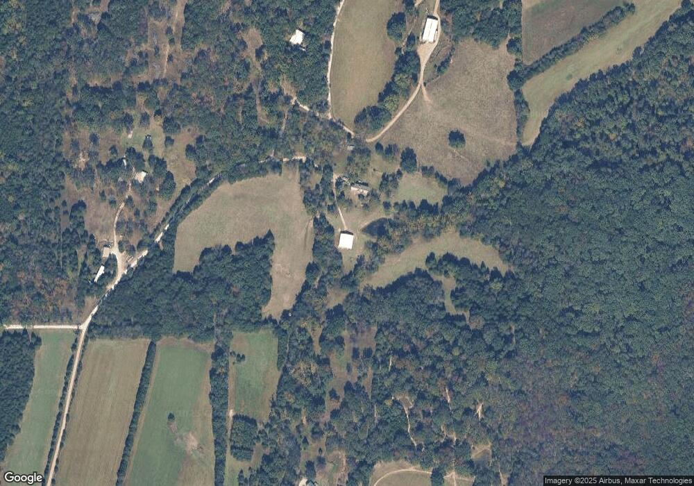
Map
Nearby Homes
- 4398 E Linda Ln
- 4373 E Linda Ln
- 0 N Hendricks Rd Unit MIS25078611
- 2227 State Route N
- 420 Nancy Dr
- 1811 Hendricks Rd
- 1855 Hendricks Rd
- 525 Cedar View Dr
- 000 Fairview Church Rd
- 5199 Highway N
- 8716 Highway Hh
- 9265 St Route 30
- 8449 Lizard Ln
- 563 Calvey Heights Ct
- 10262 Hawks Rd
- 7816 Rye Creek Rd
- 6 Cindy Dr
- 7933 Medley Dr
- 5563 E Anding Dr
- 0 Watts Ridge Dr
- 517 Whippoorwill Ln
- 473 Whippoorwill Ln
- 745 Deer View Ln
- 769 Deer View Ln
- 746 Deer View Ln
- 827 Deer View Ln
- 780 Deer View Ln
- 286 Belz Rd
- 750 Deer View Ln
- 735 Cheshire Ln
- 3945 Highway 30
- 158 Cedar Bridge Ct
- 3985 Highway 30
- 3944 Highway N Unit 30
- 4015 Highway 30
- 3883 Highway 30
- 149 Cedar Bridge Ct
- 3936 Highway 30
- 347 Marden Ln
- 107 Lakemore Dr