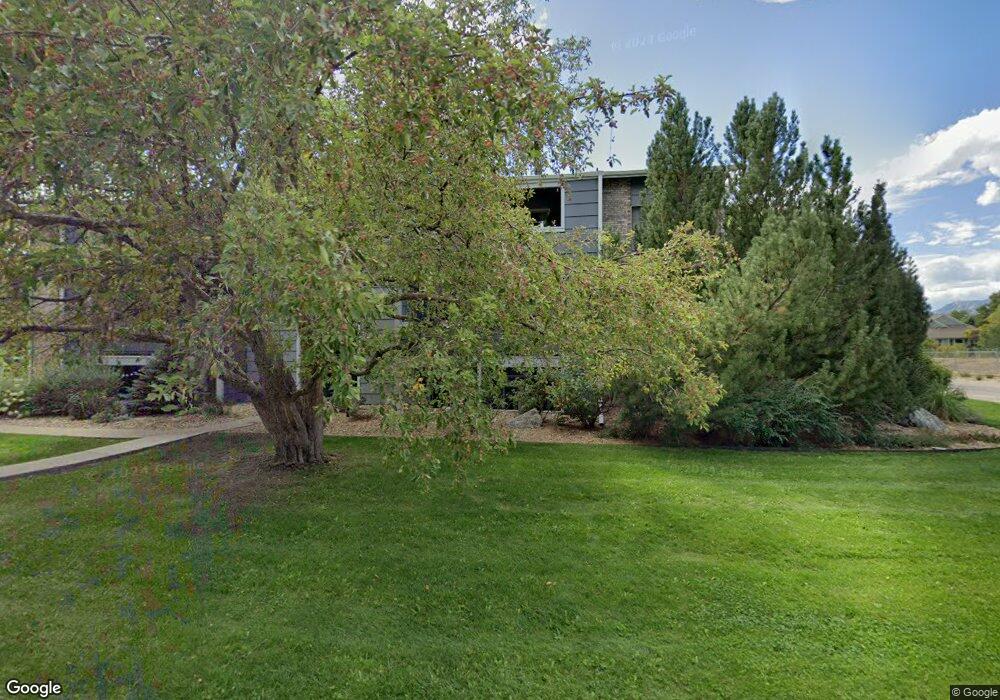
4652 White Rock Cir Unit 3 Boulder, CO 80301
Gunbarrel NeighborhoodEstimated Value: $282,962 - $393,000
1
Bed
1
Bath
669
Sq Ft
$476/Sq Ft
Est. Value
About This Home
This home is located at 4652 White Rock Cir Unit 3, Boulder, CO 80301 and is currently estimated at $318,241, approximately $475 per square foot. 4652 White Rock Cir Unit 3 is a home located in Boulder County with nearby schools including Crest View Elementary School, Centennial Middle School, and Boulder High School.
Ownership History
Date
Name
Owned For
Owner Type
Purchase Details
Closed on
Jan 24, 2003
Sold by
Jackson Katie Stuart
Bought by
Mohling Judith A
Current Estimated Value
Purchase Details
Closed on
Nov 16, 2000
Sold by
Gunbarrel Commons Corp
Bought by
Jackson Katie Stuart
Home Financials for this Owner
Home Financials are based on the most recent Mortgage that was taken out on this home.
Original Mortgage
$116,400
Interest Rate
7.86%
Create a Home Valuation Report for This Property
The Home Valuation Report is an in-depth analysis detailing your home's value as well as a comparison with similar homes in the area
Home Values in the Area
Average Home Value in this Area
Purchase History
| Date | Buyer | Sale Price | Title Company |
|---|---|---|---|
| Mohling Judith A | $140,000 | First Colorado Title | |
| Jackson Katie Stuart | $120,000 | -- |
Source: Public Records
Mortgage History
| Date | Status | Borrower | Loan Amount |
|---|---|---|---|
| Previous Owner | Jackson Katie Stuart | $116,400 |
Source: Public Records
Tax History
| Year | Tax Paid | Tax Assessment Tax Assessment Total Assessment is a certain percentage of the fair market value that is determined by local assessors to be the total taxable value of land and additions on the property. | Land | Improvement |
|---|---|---|---|---|
| 2025 | $1,733 | $21,119 | -- | $21,119 |
| 2024 | $1,733 | $21,119 | -- | $21,119 |
| 2023 | $1,705 | $18,482 | -- | $22,167 |
| 2022 | $1,806 | $18,285 | $0 | $18,285 |
| 2021 | $1,723 | $18,812 | $0 | $18,812 |
| 2020 | $1,690 | $18,247 | $0 | $18,247 |
| 2019 | $1,663 | $18,247 | $0 | $18,247 |
| 2018 | $1,383 | $14,954 | $0 | $14,954 |
| 2017 | $1,342 | $16,533 | $0 | $16,533 |
| 2016 | $1,069 | $11,494 | $0 | $11,494 |
| 2015 | $1,016 | $9,313 | $0 | $9,313 |
| 2014 | $830 | $9,313 | $0 | $9,313 |
Source: Public Records
Map
Nearby Homes
- 4650 White Rock Cir Unit 12
- 4660 White Rock Cir Unit 5
- 4658 White Rock Cir Unit 5
- 4658 White Rock Cir Unit 7
- 4741 White Rock Cir Unit C
- 4725 Spine Rd Unit F
- 5900 Brandywine Ct
- 4767 White Rock Cir Unit D
- 4656 White Rock Cir Unit 7
- 4705 Spine Rd Unit C
- 4789 White Rock Cir Unit D
- 4799 White Rock Cir Unit 4799-D
- 4791 White Rock Cir Unit A
- 4819 White Rock Cir Unit C
- 5922 Gunbarrel Ave Unit F
- 5920 Gunbarrel Ave Unit D
- 4682 White Rock Cir Unit 10
- 4682 White Rock Cir Unit 5
- 5865 N Orchard Creek Cir
- 4831 White Rock Cir Unit H
- 4652 White Rock Cir Unit 12
- 4652 White Rock Cir Unit 11
- 4652 White Rock Cir Unit 10
- 4652 White Rock Cir Unit 9
- 4652 White Rock Cir Unit 8
- 4652 White Rock Cir Unit 7
- 4652 White Rock Cir Unit 6
- 4652 White Rock Cir Unit 5
- 4652 White Rock Cir Unit 4
- 4652 White Rock Cir Unit 2
- 4652 White Rock Cir Unit 1
- 4650 White Rock Cir Unit 11
- 4650 White Rock Cir Unit 10
- 4650 White Rock Cir Unit 9
- 4650 White Rock Cir Unit 8
- 4650 White Rock Cir Unit 7
- 4650 White Rock Cir Unit 6
- 4650 White Rock Cir Unit 5
- 4650 White Rock Cir Unit 4
- 4650 White Rock Cir Unit 3
Your Personal Tour Guide
Ask me questions while you tour the home.