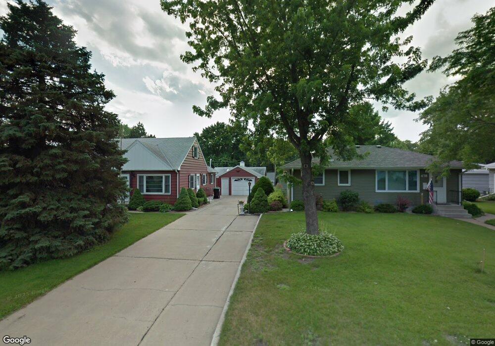
466 10th Ave NW New Brighton, MN 55112
Estimated Value: $318,000 - $352,910
3
Beds
3
Baths
2,497
Sq Ft
$137/Sq Ft
Est. Value
About This Home
This home is located at 466 10th Ave NW, New Brighton, MN 55112 and is currently estimated at $342,478, approximately $137 per square foot. 466 10th Ave NW is a home located in Ramsey County with nearby schools including Bel Air Elementary School, Highview Middle School, and Irondale Senior High School.
Ownership History
Date
Name
Owned For
Owner Type
Purchase Details
Closed on
Nov 8, 2019
Sold by
Sauer Jerome P and Sauer Ellen
Bought by
Matson Brendan L
Current Estimated Value
Home Financials for this Owner
Home Financials are based on the most recent Mortgage that was taken out on this home.
Original Mortgage
$224,100
Interest Rate
3.6%
Mortgage Type
New Conventional
Create a Home Valuation Report for This Property
The Home Valuation Report is an in-depth analysis detailing your home's value as well as a comparison with similar homes in the area
Home Values in the Area
Average Home Value in this Area
Purchase History
| Date | Buyer | Sale Price | Title Company |
|---|---|---|---|
| Matson Brendan L | $249,000 | Titlesmart Inc |
Source: Public Records
Mortgage History
| Date | Status | Borrower | Loan Amount |
|---|---|---|---|
| Previous Owner | Matson Brendan L | $224,100 |
Source: Public Records
Tax History Compared to Growth
Tax History
| Year | Tax Paid | Tax Assessment Tax Assessment Total Assessment is a certain percentage of the fair market value that is determined by local assessors to be the total taxable value of land and additions on the property. | Land | Improvement |
|---|---|---|---|---|
| 2025 | $3,816 | $318,300 | $55,000 | $263,300 |
| 2023 | $3,816 | $295,700 | $55,000 | $240,700 |
| 2022 | $3,486 | $288,300 | $55,000 | $233,300 |
| 2021 | $3,422 | $253,300 | $55,000 | $198,300 |
| 2020 | $3,540 | $257,200 | $49,000 | $208,200 |
| 2019 | $2,984 | $245,000 | $49,000 | $196,000 |
| 2018 | $2,778 | $220,900 | $49,000 | $171,900 |
| 2017 | $2,506 | $202,500 | $49,000 | $153,500 |
| 2016 | $2,414 | $0 | $0 | $0 |
| 2015 | $2,164 | $174,400 | $44,000 | $130,400 |
| 2014 | $2,032 | $0 | $0 | $0 |
Source: Public Records
Map
Nearby Homes
- 539 11th Ave NW
- 509 12th Ave NW
- 644 Village Dr
- 649 Old Highway 8 NW Unit 238
- 649 Old Highway 8 NW Unit 227
- 1651 Sioux Blvd
- 545 4th Ave NW
- 833 7th Ave NW
- 691 20th Ave NW
- 1833 Chatham Terrace
- 536 Old Steine Cir Unit 12
- 624 1st Ave NW
- 160 Brentwood Dr
- 724 1st Ave NW
- 566 Fairfield Dr NW
- 33 19th Ave SW
- 1181 12th Ave NW
- 91 19th Ave SW
- 650 23rd Ave NW
- 228 16th Ave SW
- 454 10th Ave NW
- 478 10th Ave NW
- 478 478 10th-Avenue-nw
- 442 10th Ave NW
- 490 10th Ave NW
- 475 11th Ave NW
- 463 11th Ave NW
- 481 11th Ave NW
- 436 10th Ave NW
- 451 11th Ave NW
- 487 11th Ave NW
- 475 10th Ave NW
- 463 10th Ave NW
- 481 10th Ave NW
- 487 10th Ave NW
- 451 10th Ave NW
- 439 11th Ave NW
- 430 10th Ave NW
- 506 10th Ave NW
- 439 10th Ave NW