466 Commons Dr Unit 466 Powell, OH 43065
Liberty Township NeighborhoodEstimated Value: $423,150 - $438,000
3
Beds
2
Baths
1,770
Sq Ft
$242/Sq Ft
Est. Value
About This Home
This home is located at 466 Commons Dr Unit 466, Powell, OH 43065 and is currently estimated at $429,038, approximately $242 per square foot. 466 Commons Dr Unit 466 is a home located in Delaware County with nearby schools including Tyler Run Elementary School, Olentangy Liberty Middle School, and Olentangy Liberty High School.
Ownership History
Date
Name
Owned For
Owner Type
Purchase Details
Closed on
Aug 16, 2022
Sold by
Patricia Edwards
Bought by
Paton John A and Apple Nancy L
Current Estimated Value
Purchase Details
Closed on
Apr 11, 2008
Sold by
Edwards Patricia and Constantino Dilys
Bought by
Edwards Patricia and Constantino Dilys
Purchase Details
Closed on
Aug 2, 2006
Sold by
Cassan Judith A
Bought by
Edwards Patricia and Constantino Dilys
Purchase Details
Closed on
Aug 12, 2004
Sold by
The Commons Of Powell Llc
Bought by
Cassan Judith A
Home Financials for this Owner
Home Financials are based on the most recent Mortgage that was taken out on this home.
Original Mortgage
$109,400
Interest Rate
5.12%
Mortgage Type
Purchase Money Mortgage
Create a Home Valuation Report for This Property
The Home Valuation Report is an in-depth analysis detailing your home's value as well as a comparison with similar homes in the area
Home Values in the Area
Average Home Value in this Area
Purchase History
| Date | Buyer | Sale Price | Title Company |
|---|---|---|---|
| Paton John A | $396,000 | -- | |
| Edwards Patricia | -- | Attorney | |
| Edwards Patricia | $228,000 | Northwest Title | |
| Cassan Judith A | $212,000 | -- |
Source: Public Records
Mortgage History
| Date | Status | Borrower | Loan Amount |
|---|---|---|---|
| Previous Owner | Cassan Judith A | $109,400 | |
| Closed | Cassan Judith A | $79,600 |
Source: Public Records
Tax History Compared to Growth
Tax History
| Year | Tax Paid | Tax Assessment Tax Assessment Total Assessment is a certain percentage of the fair market value that is determined by local assessors to be the total taxable value of land and additions on the property. | Land | Improvement |
|---|---|---|---|---|
| 2024 | $6,745 | $128,740 | $24,680 | $104,060 |
| 2023 | $6,772 | $128,740 | $24,680 | $104,060 |
| 2022 | $5,767 | $85,020 | $17,500 | $67,520 |
| 2021 | $5,867 | $85,020 | $17,500 | $67,520 |
| 2020 | $5,889 | $85,020 | $17,500 | $67,520 |
| 2019 | $5,037 | $75,220 | $17,500 | $57,720 |
| 2018 | $5,095 | $75,220 | $17,500 | $57,720 |
| 2017 | $4,830 | $68,250 | $12,250 | $56,000 |
| 2016 | $4,962 | $68,250 | $12,250 | $56,000 |
| 2015 | $4,527 | $68,250 | $12,250 | $56,000 |
| 2014 | $4,588 | $68,250 | $12,250 | $56,000 |
| 2013 | $4,695 | $68,250 | $12,250 | $56,000 |
Source: Public Records
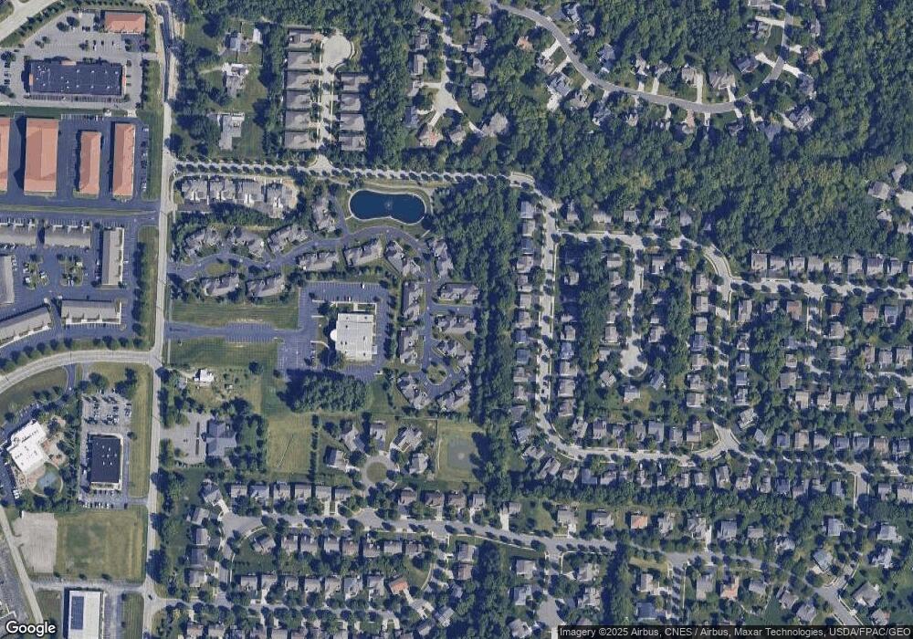
Map
Nearby Homes
- 524 Commons Dr Unit 524
- 261 Andover Dr
- 274 Stamford Dr
- 91 Tiller Dr
- 255 Winter Hill Place
- 55 Timber Oak Ct
- 4933 Emerald Lakes Blvd Unit 4903
- 2672 Sawmill Reserve Dr Unit 2672
- 10053 Juliana Cir Unit 10053
- 87 Murphys Oval Unit N87
- 10010 Beckford Ct
- 1937 Liberty St
- 2020 Liberty St
- 3910 Summit View Rd
- 11 Murphys View Place
- 2961 Lexington Dr
- 120 S Liberty St
- 8632 Copperview Dr
- 67 Traditions Way
- 2168 Summit Row Blvd
- 470 Commons Dr Unit 470
- 458 Commons Dr Unit 458
- 474 Commons Dr Unit 474
- 478 Commons Dr Unit 478
- 513 Zion Dr
- 479 Commons Dr Unit 479
- 475 Commons Dr Unit 475
- 523 Zion Dr
- 493 Zion Dr
- 483 Commons Dr Unit 483
- 471 Commons Dr Unit 471
- 482 Commons Dr Unit 482
- 455 Commons Dr Unit 455
- 533 Zion Dr
- 483 Zion Dr
- 467 Commons Dr Unit 467
- 486 Commons Dr Unit 486
- 543 Zion Dr
- 473 Zion Dr
- 487 Commons Dr