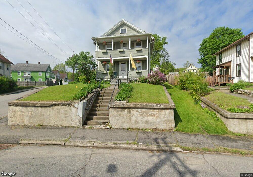
466 High St Torrington, CT 06790
Estimated Value: $236,000 - $291,000
2
Beds
2
Baths
1,236
Sq Ft
$206/Sq Ft
Est. Value
About This Home
This home is located at 466 High St, Torrington, CT 06790 and is currently estimated at $254,941, approximately $206 per square foot. 466 High St is a home located in Litchfield County with nearby schools including Torrington Middle School, Torrington High School, and St. John Paul the Great Academy.
Ownership History
Date
Name
Owned For
Owner Type
Purchase Details
Closed on
Oct 16, 2003
Sold by
Pollutro Diane M and Pollutro John A
Bought by
Bellmay Leslie and Bellmay Jennifer
Current Estimated Value
Home Financials for this Owner
Home Financials are based on the most recent Mortgage that was taken out on this home.
Original Mortgage
$106,000
Interest Rate
7.95%
Create a Home Valuation Report for This Property
The Home Valuation Report is an in-depth analysis detailing your home's value as well as a comparison with similar homes in the area
Home Values in the Area
Average Home Value in this Area
Purchase History
| Date | Buyer | Sale Price | Title Company |
|---|---|---|---|
| Bellmay Leslie | $106,000 | -- |
Source: Public Records
Mortgage History
| Date | Status | Borrower | Loan Amount |
|---|---|---|---|
| Open | Bellmay Leslie | $120,000 | |
| Closed | Bellmay Leslie | $106,000 |
Source: Public Records
Tax History Compared to Growth
Tax History
| Year | Tax Paid | Tax Assessment Tax Assessment Total Assessment is a certain percentage of the fair market value that is determined by local assessors to be the total taxable value of land and additions on the property. | Land | Improvement |
|---|---|---|---|---|
| 2025 | $4,718 | $122,710 | $15,260 | $107,450 |
| 2024 | $2,678 | $55,830 | $15,280 | $40,550 |
| 2023 | $2,678 | $55,830 | $15,280 | $40,550 |
| 2022 | $2,632 | $55,830 | $15,280 | $40,550 |
| 2021 | $2,578 | $55,830 | $15,280 | $40,550 |
| 2020 | $2,578 | $55,830 | $15,280 | $40,550 |
| 2019 | $2,650 | $57,390 | $15,280 | $42,110 |
| 2018 | $2,650 | $57,390 | $15,280 | $42,110 |
| 2017 | $2,626 | $57,390 | $15,280 | $42,110 |
| 2016 | $2,626 | $57,390 | $15,280 | $42,110 |
| 2015 | $2,626 | $57,390 | $15,280 | $42,110 |
| 2014 | $2,564 | $70,590 | $32,480 | $38,110 |
Source: Public Records
Map
Nearby Homes
- 149 Turner Ave
- 75 Maple St
- 21 Roosevelt Ave
- 10 Irene St
- 168 Blake St
- 271 S Main St
- 231 Beechwood Ave
- 121 Culvert St
- 393 S Main St
- 30 Culvert St
- 37 Linden St
- 244 Hawthorne Terrace
- 77 Chestnut Ave
- 77 Marion Ave Unit 2
- 27 Washington Ave
- 615 S Main St
- 136 Wyoming Ave
- 95 Colorado Ave N
- 184 Harwinton Ave
- 53 Harwinton Ave Unit 4