466 Main St Circle Pines, MN 55014
Estimated Value: $521,000 - $564,000
4
Beds
3
Baths
2,360
Sq Ft
$232/Sq Ft
Est. Value
About This Home
This home is located at 466 Main St, Circle Pines, MN 55014 and is currently estimated at $548,412, approximately $232 per square foot. 466 Main St is a home located in Anoka County with nearby schools including Lino Lakes Elementary School and Forest Lake Area High School.
Ownership History
Date
Name
Owned For
Owner Type
Purchase Details
Closed on
Jul 12, 2017
Sold by
Benjamin Neal U and Benjamin Kathy A
Bought by
Menze Eric and Menze Arianne
Current Estimated Value
Home Financials for this Owner
Home Financials are based on the most recent Mortgage that was taken out on this home.
Original Mortgage
$346,655
Outstanding Balance
$288,407
Interest Rate
3.94%
Mortgage Type
New Conventional
Estimated Equity
$260,005
Create a Home Valuation Report for This Property
The Home Valuation Report is an in-depth analysis detailing your home's value as well as a comparison with similar homes in the area
Home Values in the Area
Average Home Value in this Area
Purchase History
| Date | Buyer | Sale Price | Title Company |
|---|---|---|---|
| Menze Eric | $364,900 | Titlesmart Inc |
Source: Public Records
Mortgage History
| Date | Status | Borrower | Loan Amount |
|---|---|---|---|
| Open | Menze Eric | $346,655 |
Source: Public Records
Tax History
| Year | Tax Paid | Tax Assessment Tax Assessment Total Assessment is a certain percentage of the fair market value that is determined by local assessors to be the total taxable value of land and additions on the property. | Land | Improvement |
|---|---|---|---|---|
| 2025 | $5,691 | $539,500 | $191,700 | $347,800 |
| 2024 | $5,691 | $515,000 | $179,400 | $335,600 |
| 2023 | $5,105 | $517,200 | $171,900 | $345,300 |
| 2022 | $4,825 | $514,200 | $148,600 | $365,600 |
| 2021 | $4,637 | $421,900 | $121,500 | $300,400 |
| 2020 | $4,730 | $392,900 | $112,000 | $280,900 |
| 2019 | $4,478 | $392,400 | $108,400 | $284,000 |
| 2018 | $3,488 | $356,100 | $0 | $0 |
| 2017 | $3,057 | $294,900 | $0 | $0 |
| 2016 | $2,958 | $239,400 | $0 | $0 |
| 2015 | -- | $239,400 | $79,400 | $160,000 |
| 2014 | -- | $236,000 | $92,800 | $143,200 |
Source: Public Records
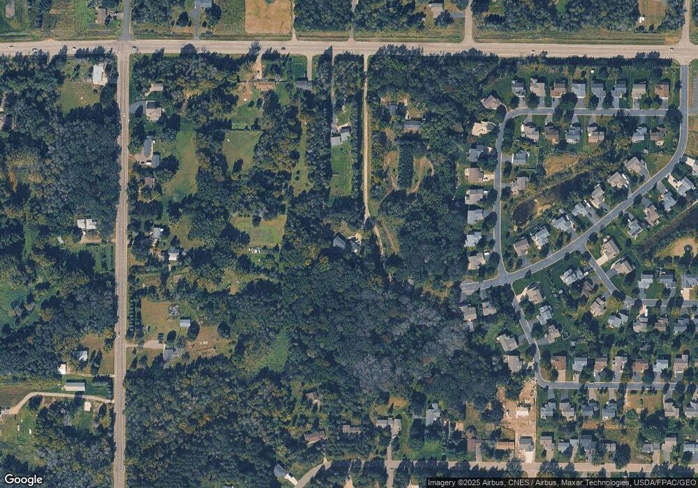
Map
Nearby Homes
- 510 Lois Ln
- 8015 4th Ave
- 600 Haywood Dr
- 8013 Glenwood Dr
- Cedarwood Plan at Nature's Refuge
- Willow II Plan at Nature's Refuge
- Cedarwood II Plan at Nature's Refuge
- Hillcrest Plan at Nature's Refuge
- Sycamore II Plan at Nature's Refuge
- Elmwood IV Plan at Nature's Refuge
- Grayson Plan at Nature's Refuge
- 8204 Haywood Dr
- 8200 Haywood Dr
- 8184 Haywood Dr
- 8172 Haywood Dr
- 8188 Haywood Dr
- 8208 Haywood Dr
- 8203 Haywood Dr
- 8171 Haywood Dr
- 8191 Haywood Dr
Your Personal Tour Guide
Ask me questions while you tour the home.