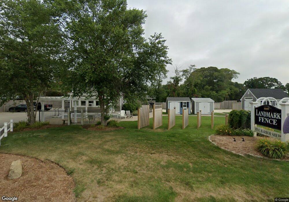
4660 State Hwy Unit A Eastham, MA 02642
--
Bed
--
Bath
1,612
Sq Ft
2.03
Acres
About This Home
This home is located at 4660 State Hwy Unit A, Eastham, MA 02642. 4660 State Hwy Unit A is a home located in Barnstable County with nearby schools including Eastham Elementary School, Nauset Regional Middle School, and Nauset Regional High School.
Ownership History
Date
Name
Owned For
Owner Type
Purchase Details
Closed on
Oct 3, 2018
Sold by
Belvernon Llc
Bought by
Pratt Wayne A
Purchase Details
Closed on
Dec 28, 2012
Sold by
Hill Martha H
Bought by
Pratt Wayne A
Home Financials for this Owner
Home Financials are based on the most recent Mortgage that was taken out on this home.
Original Mortgage
$388,000
Interest Rate
3.38%
Mortgage Type
Commercial
Purchase Details
Closed on
Nov 2, 2010
Sold by
Hill Gerard B
Bought by
Hill Martha H
Create a Home Valuation Report for This Property
The Home Valuation Report is an in-depth analysis detailing your home's value as well as a comparison with similar homes in the area
Home Values in the Area
Average Home Value in this Area
Purchase History
| Date | Buyer | Sale Price | Title Company |
|---|---|---|---|
| Pratt Wayne A | -- | -- | |
| Pratt Wayne A | $215,000 | -- | |
| Hill Martha H | -- | -- |
Source: Public Records
Mortgage History
| Date | Status | Borrower | Loan Amount |
|---|---|---|---|
| Previous Owner | Pratt Wayne A | $388,000 |
Source: Public Records
Tax History Compared to Growth
Tax History
| Year | Tax Paid | Tax Assessment Tax Assessment Total Assessment is a certain percentage of the fair market value that is determined by local assessors to be the total taxable value of land and additions on the property. | Land | Improvement |
|---|---|---|---|---|
| 2025 | $4,989 | $647,100 | $369,400 | $277,700 |
| 2024 | $4,432 | $632,200 | $358,700 | $273,500 |
| 2023 | $4,398 | $607,500 | $350,900 | $256,600 |
| 2022 | $4,621 | $538,600 | $313,100 | $225,500 |
| 2021 | $4,793 | $522,100 | $304,100 | $218,000 |
| 2020 | $4,627 | $530,600 | $310,400 | $220,200 |
| 2019 | $4,359 | $528,400 | $310,400 | $218,000 |
| 2018 | $4,309 | $516,000 | $301,400 | $214,600 |
| 2017 | $4,047 | $512,300 | $296,300 | $216,000 |
| 2016 | $3,550 | $477,100 | $264,400 | $212,700 |
| 2015 | $3,351 | $472,000 | $259,200 | $212,800 |
Source: Public Records
Map
Nearby Homes
- 72 Dory Ln
- 115 Sparrowhawk Ln
- 35 Old County Rd Unit 1
- 390 Brackett Rd
- 10 Hoyer Ln Unit A
- 10 Bradford Ln
- 255 Massasoit Rd
- 160 Toland Dr
- 95 Toland Dr
- 50 Silver Oak Rd
- 1895 Nauset Rd
- 495 Aspinet Rd
- 60 Briggs Field Rd
- 30 Mayflower Rd
- 100 Thoreau Dr
- 1285 Massasoit Rd
- 125 Wamsutta Rd
- 5470 State Hwy
- 10 Field Rd
- 1460 Massasoit Rd
- 4660 State Hwy
- 4660 State Hwy Unit 6
- 4660 State Hwy Unit 4
- 4660 State Hwy Unit 1
- 4660 State Hwy Unit 5
- 4660 State Hwy Unit 3
- 4660 State Hwy Unit 2
- 115D Dory Ln Unit 115
- 115D Dory Ln Unit 42
- 54 Dory Ln
- 52 Dory Ln
- 50 Dory Ln Unit 2
- 50 Dory Ln Unit 50
- 4620 State Hwy
- 4688-R State Hwy
- 48 Dory Ln Unit 48
- 48 Dory Ln
- 48 Dory Ln Unit 1
- 46 Dory Ln Unit 6
- 46 Dory Ln