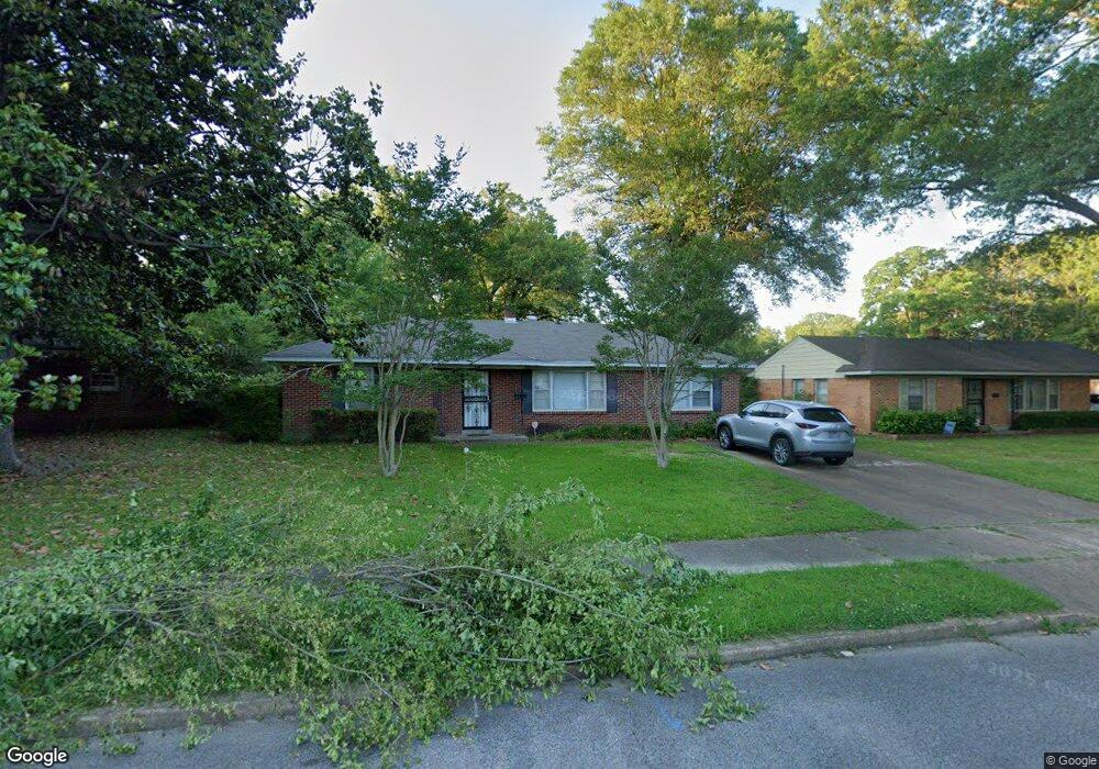
4664 E Dearing Rd Memphis, TN 38117
Colonial Acres NeighborhoodEstimated Value: $185,000 - $204,000
3
Beds
2
Baths
1,699
Sq Ft
$114/Sq Ft
Est. Value
About This Home
This home is located at 4664 E Dearing Rd, Memphis, TN 38117 and is currently estimated at $193,824, approximately $114 per square foot. 4664 E Dearing Rd is a home located in Shelby County with nearby schools including Sea Isle Elementary School, Colonial Middle, and Overton High.
Ownership History
Date
Name
Owned For
Owner Type
Purchase Details
Closed on
Jun 11, 2010
Sold by
Kiddy Ronnie and Kiddy Ron
Bought by
Mid Memphis Pdn Llc
Current Estimated Value
Purchase Details
Closed on
Oct 27, 2005
Sold by
Solomon Michael E and Solomon Andrea W
Bought by
Kiddy Ronnie and Kiddy Ron
Home Financials for this Owner
Home Financials are based on the most recent Mortgage that was taken out on this home.
Original Mortgage
$100,900
Interest Rate
7.9%
Mortgage Type
Fannie Mae Freddie Mac
Purchase Details
Closed on
Aug 30, 1995
Bought by
Farrow Lawrence F and Farrow Marcel
Create a Home Valuation Report for This Property
The Home Valuation Report is an in-depth analysis detailing your home's value as well as a comparison with similar homes in the area
Home Values in the Area
Average Home Value in this Area
Purchase History
| Date | Buyer | Sale Price | Title Company |
|---|---|---|---|
| Mid Memphis Pdn Llc | $48,000 | Home Surety Title & Escrow L | |
| Kiddy Ronnie | $100,900 | Accurate Title & Escrow Inc | |
| Farrow Lawrence F | $71,900 | -- |
Source: Public Records
Mortgage History
| Date | Status | Borrower | Loan Amount |
|---|---|---|---|
| Previous Owner | Kiddy Ronnie | $100,900 |
Source: Public Records
Tax History Compared to Growth
Tax History
| Year | Tax Paid | Tax Assessment Tax Assessment Total Assessment is a certain percentage of the fair market value that is determined by local assessors to be the total taxable value of land and additions on the property. | Land | Improvement |
|---|---|---|---|---|
| 2025 | $1,185 | $45,475 | $8,750 | $36,725 |
| 2024 | $1,185 | $34,950 | $5,225 | $29,725 |
| 2023 | $2,129 | $34,950 | $5,225 | $29,725 |
| 2022 | $2,129 | $34,950 | $5,225 | $29,725 |
| 2021 | $2,154 | $34,950 | $5,225 | $29,725 |
| 2020 | $1,898 | $26,200 | $5,225 | $20,975 |
| 2019 | $1,898 | $26,200 | $5,225 | $20,975 |
| 2018 | $1,898 | $26,200 | $5,225 | $20,975 |
| 2017 | $1,077 | $26,200 | $5,225 | $20,975 |
| 2016 | $940 | $21,500 | $0 | $0 |
| 2014 | $940 | $23,825 | $0 | $0 |
Source: Public Records
Map
Nearby Homes
- 1597 Marcia Rd
- 1570 Dearing Rd
- 1711 Myrna Ln
- 1554 Hopewell Rd
- 1433 Dearing Rd
- 4487 E Dearing Rd
- 1782 Cornelia Ln
- 1776 Dorrie Ln
- 1731 Sea Isle Rd
- 1416 Marcia Rd
- 4808 Quince Rd
- 1771 Tahiti Ln
- 1534 Ivy Rd
- 4436 Boyce Rd
- 1369 Marcia Rd
- 1485 Ivy Rd
- 4491 Garnett Rd
- 4454 Dunn Ave
- 4490 Garnett Rd
- 4420 Helene Rd
- 4672 E Dearing Rd
- 1608 S Perkins Rd
- 1598 S Perkins Rd
- 1599 Dearing Rd
- 1592 S Perkins Rd
- 4663 E Dearing Rd
- 1622 S Perkins Rd
- 4669 E Dearing Rd
- 1585 Dearing Rd
- 1609 S Perkins Rd
- 4675 E Dearing Rd
- 1604 Dearing Rd
- 1598 Dearing Rd
- 1599 S Perkins Rd
- 1610 Dearing Rd
- 1632 S Perkins Rd
- 1587 S Perkins Rd
- 1578 S Perkins Rd
- 1577 Dearing Rd
- 1592 Dearing Rd