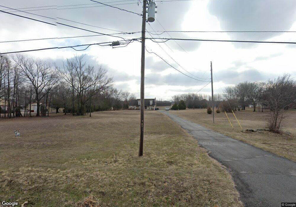
4668 E 490 Rd Claremore, OK 74019
Estimated Value: $494,986 - $619,000
3
Beds
4
Baths
3,103
Sq Ft
$176/Sq Ft
Est. Value
About This Home
This home is located at 4668 E 490 Rd, Claremore, OK 74019 and is currently estimated at $545,497, approximately $175 per square foot. 4668 E 490 Rd is a home located in Rogers County with nearby schools including Pamela Hodson Elementary School, Owasso 6th Grade Center, and Owasso 8th Grade Center.
Ownership History
Date
Name
Owned For
Owner Type
Purchase Details
Closed on
Mar 26, 2014
Sold by
Humphrey Don and Humphrey Jody
Bought by
Humphrey Donald and Humphrey Jody
Current Estimated Value
Purchase Details
Closed on
Apr 19, 1997
Sold by
Redifer Gary B and Redifer Bonnie L
Purchase Details
Closed on
May 1, 1995
Sold by
Bank Of America Na
Purchase Details
Closed on
Jan 9, 1995
Sold by
Baum Herschal S
Purchase Details
Closed on
Jan 12, 1993
Sold by
Wylie Construction Co
Create a Home Valuation Report for This Property
The Home Valuation Report is an in-depth analysis detailing your home's value as well as a comparison with similar homes in the area
Purchase History
| Date | Buyer | Sale Price | Title Company |
|---|---|---|---|
| Humphrey Donald | -- | -- | |
| -- | $140,000 | -- | |
| -- | $120,000 | -- | |
| -- | -- | -- | |
| -- | $12,000 | -- |
Source: Public Records
Tax History
| Year | Tax Paid | Tax Assessment Tax Assessment Total Assessment is a certain percentage of the fair market value that is determined by local assessors to be the total taxable value of land and additions on the property. | Land | Improvement |
|---|---|---|---|---|
| 2025 | $4,468 | $45,612 | $10,600 | $35,012 |
| 2024 | $4,173 | $43,440 | $8,926 | $34,514 |
| 2023 | $4,173 | $41,372 | $7,150 | $34,222 |
| 2022 | $3,985 | $40,677 | $7,121 | $33,556 |
| 2021 | $3,748 | $39,466 | $7,150 | $32,316 |
| 2020 | $3,564 | $38,741 | $7,036 | $31,705 |
| 2019 | $3,397 | $36,896 | $6,951 | $29,945 |
| 2018 | $3,115 | $35,139 | $6,417 | $28,722 |
| 2017 | $2,998 | $31,873 | $5,753 | $26,120 |
| 2016 | $2,536 | $26,936 | $4,690 | $22,246 |
| 2015 | $2,456 | $25,653 | $4,238 | $21,415 |
| 2014 | $2,339 | $24,432 | $3,764 | $20,668 |
Source: Public Records
Map
Nearby Homes
- 5132 E Madison St
- 19715 E Clear Brook Rd
- 20624 S Brentwood Ave
- 5207 E Brookhaven St
- 5226 E Madison St
- 20706 S Concord Ave
- 20823 S Concord Ave
- 5225 E Norwood St
- 9931 N Chadford
- 19000 E Knightsbridge Rd
- 20903 S Richmond Ave
- 20925 S Windsor Ave
- 19837 E Woodhaven Rd
- 18509 E 100th St N
- 19019 Woodmere St
- 11738 N 194th East Ave
- 0 E 106th St N Unit 2543814
- 0 E 106th St N Unit 2546711
- 11671 N 191st Ave E
- 4728 E Hwy 20
- 460 100th
- 8034 100th Ct
- 5149 100th
- 4700 E 490 Rd
- 4532 E 490 Rd
- 20718 S 4074 Rd
- 20718 S 4074 Rd
- 20606 S 4074 Rd
- 20558 S 4074 Rd
- 20550 S 4074 Rd
- 20551 S 4074 Rd
- 4598 E 490 Rd
- 4504 E 490 Rd
- 4590 E 490 Rd
- 1814 N 202nd East Ave
- 20205 E 106th St N
- 19800 E 108th St N
- 4374 E 490 Rd
- 4826 E 490 Rd
- 4353 E 490 Rd
Your Personal Tour Guide
Ask me questions while you tour the home.