467 Charles Johnson Rd Forsyth, GA 31029
Estimated Value: $473,000 - $636,101
4
Beds
3
Baths
3,333
Sq Ft
$162/Sq Ft
Est. Value
About This Home
This home is located at 467 Charles Johnson Rd, Forsyth, GA 31029 and is currently estimated at $541,525, approximately $162 per square foot. 467 Charles Johnson Rd is a home with nearby schools including Samuel E. Hubbard Elementary School and Mary Persons High School.
Ownership History
Date
Name
Owned For
Owner Type
Purchase Details
Closed on
Mar 18, 2015
Sold by
Wilkinson Don Edward
Bought by
Couey Matthew Glen and Couey Laura M
Current Estimated Value
Purchase Details
Closed on
Jun 21, 2014
Sold by
Investme Barrs and Investme Gardner
Bought by
Wilkinson Don Edward
Purchase Details
Closed on
Nov 16, 2013
Sold by
Cbna Ga Ii Llc
Bought by
Barrs & Gardner Investments
Purchase Details
Closed on
Oct 30, 2013
Sold by
Certusbank
Bought by
Cbna Ga Ii Llc
Purchase Details
Closed on
Jul 18, 2013
Sold by
Certusbank
Bought by
Cbna Ga Ii Llc
Purchase Details
Closed on
May 30, 2013
Sold by
Federal Deposit Insurance Corporation
Bought by
Certusbank
Create a Home Valuation Report for This Property
The Home Valuation Report is an in-depth analysis detailing your home's value as well as a comparison with similar homes in the area
Home Values in the Area
Average Home Value in this Area
Purchase History
| Date | Buyer | Sale Price | Title Company |
|---|---|---|---|
| Couey Matthew Glen | $82,000 | -- | |
| Wilkinson Don Edward | $78,000 | -- | |
| Barrs & Gardner Investments | $10,000 | -- | |
| Cbna Ga Ii Llc | -- | -- | |
| Certusbank | -- | -- | |
| Cbna Ga Ii Llc | -- | -- | |
| Certusbank | -- | -- |
Source: Public Records
Tax History Compared to Growth
Tax History
| Year | Tax Paid | Tax Assessment Tax Assessment Total Assessment is a certain percentage of the fair market value that is determined by local assessors to be the total taxable value of land and additions on the property. | Land | Improvement |
|---|---|---|---|---|
| 2024 | $3,601 | $170,320 | $51,800 | $118,520 |
| 2023 | $3,452 | $150,560 | $51,800 | $98,760 |
| 2022 | $2,916 | $150,560 | $51,800 | $98,760 |
| 2021 | $3,014 | $150,560 | $51,800 | $98,760 |
| 2020 | $3,086 | $150,560 | $51,800 | $98,760 |
| 2019 | $3,106 | $150,560 | $51,800 | $98,760 |
| 2018 | $3,111 | $150,560 | $51,800 | $98,760 |
| 2017 | $4,376 | $150,560 | $51,800 | $98,760 |
| 2016 | $194 | $36,240 | $36,240 | $0 |
| 2015 | $90 | $8,160 | $8,160 | $0 |
| 2014 | $25 | $8,160 | $8,160 | $0 |
Source: Public Records
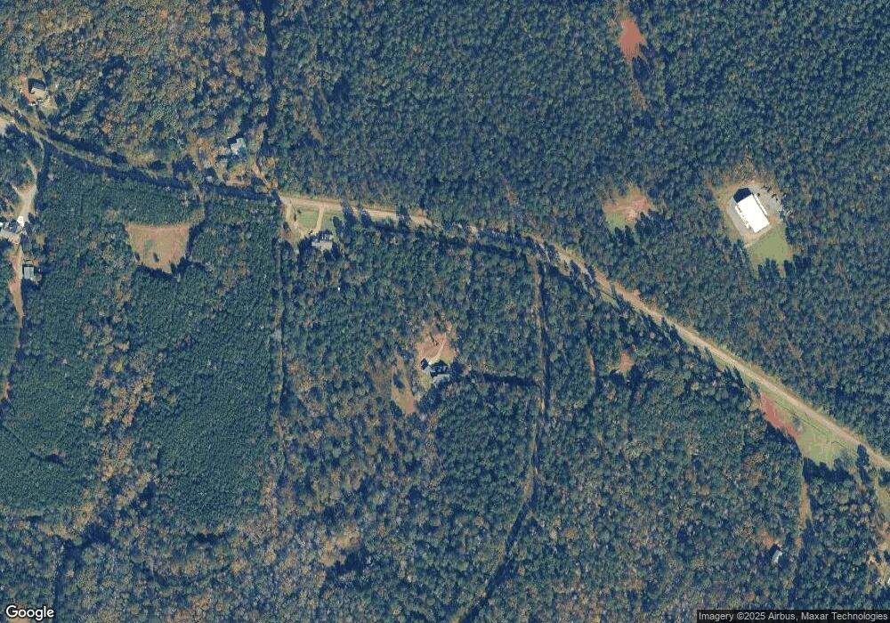
Map
Nearby Homes
- 4866 Hwy 42 S
- 0 Old Zebulon Rd Unit 25091896
- 0 Old Zebulon Rd Unit 25062362
- 0 Old Zebulon Rd Unit 25091897
- 519 Barbara Ct
- 271 Presidents Way
- 0 Yellow Creek Rd Unit 24433636
- 0 Yellow Creek Rd Unit 24433638
- 266 Presidents Way
- 1774 Maynards Mill Rd
- 3319 Highway 42 S
- 0 Rogers Church Rd Unit 10643854
- 0 Abercrombie Rd Unit 24572833
- TRACT A Russellville Rd
- TRACT B Russellville Rd
- 0 S Tingle Rd
- 5588 Ga Highway 42 S Unit LOT 3
- LOT 13 Creekside Ln
- 14 Creekside Ct
- 14 Creekside Ct
- 425 Charles Johnson Rd
- 537 Charles Johnson Rd
- 403 Barbara Ct
- 494 Barbara Ct
- 409 Barbara Ct
- 490 Barbara Ct
- 485 Barbara Ct
- 419 Barbara Ct
- 423 Barbara Ct
- 429 Barbara Ct
- 435 Barbara Ct
- 415 Barbara Ct
- 491 Barbara Ct
- 479 Barbara Ct
- 471 Barbara Ct
- 441 Barbara Ct
- 467 Barbara Ct
- 463 Barbara Ct
- 459 Barbara Ct
- 453 Barbara Ct