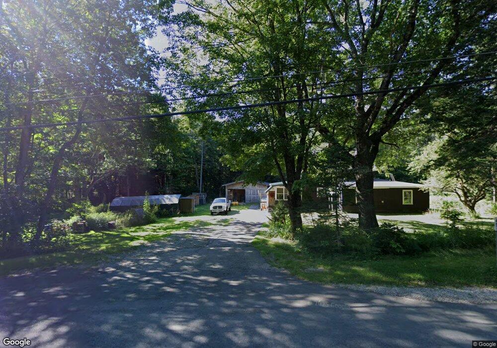
467 Durand Rd Randolph, NH 03593
Estimated Value: $378,549 - $439,000
4
Beds
2
Baths
2,093
Sq Ft
$202/Sq Ft
Est. Value
About This Home
This home is located at 467 Durand Rd, Randolph, NH 03593 and is currently estimated at $423,637, approximately $202 per square foot. 467 Durand Rd is a home with nearby schools including Edward Fenn Elementary School and Gorham High School.
Ownership History
Date
Name
Owned For
Owner Type
Purchase Details
Closed on
Feb 6, 2009
Sold by
Richardson Edwin H
Bought by
Peters Nathan
Current Estimated Value
Home Financials for this Owner
Home Financials are based on the most recent Mortgage that was taken out on this home.
Original Mortgage
$140,000
Outstanding Balance
$88,969
Interest Rate
5.2%
Mortgage Type
Purchase Money Mortgage
Estimated Equity
$334,668
Create a Home Valuation Report for This Property
The Home Valuation Report is an in-depth analysis detailing your home's value as well as a comparison with similar homes in the area
Home Values in the Area
Average Home Value in this Area
Purchase History
| Date | Buyer | Sale Price | Title Company |
|---|---|---|---|
| Peters Nathan | $150,000 | -- |
Source: Public Records
Mortgage History
| Date | Status | Borrower | Loan Amount |
|---|---|---|---|
| Open | Peters Nathan | $140,000 |
Source: Public Records
Tax History Compared to Growth
Tax History
| Year | Tax Paid | Tax Assessment Tax Assessment Total Assessment is a certain percentage of the fair market value that is determined by local assessors to be the total taxable value of land and additions on the property. | Land | Improvement |
|---|---|---|---|---|
| 2024 | $3,762 | $337,700 | $152,000 | $185,700 |
| 2023 | $3,777 | $193,300 | $61,800 | $131,500 |
| 2022 | $3,271 | $193,300 | $61,800 | $131,500 |
| 2021 | $2,951 | $190,900 | $61,800 | $129,100 |
| 2020 | $2,883 | $190,900 | $61,800 | $129,100 |
| 2019 | $2,825 | $190,900 | $61,800 | $129,100 |
| 2018 | $2,629 | $181,200 | $59,200 | $122,000 |
| 2017 | $2,656 | $181,200 | $59,200 | $122,000 |
| 2016 | $2,705 | $181,200 | $59,200 | $122,000 |
| 2015 | $2,644 | $180,600 | $59,200 | $121,400 |
| 2014 | $2,490 | $172,100 | $59,200 | $112,900 |
| 2012 | $2,563 | $160,400 | $41,600 | $118,800 |
Source: Public Records
Map
Nearby Homes
- 00 U S Highway 2
- 1174 Us Route 2
- 00 Us Rte 2
- 1502 US Route 2
- 280 Gorham Hill Rd
- 1860 Presidential Hwy
- 0 Presidential Hwy Unit 23669413
- 141 Lancaster Rd Unit 28
- 141 Lancaster Rd Unit 14
- 141 Lancaster Rd
- 141 Lancaster Rd Unit TRLR 1
- 67 Owls Head Hwy
- 22 Clay Brook Rd
- 23 Pine St
- 11 Dublin St
- 0 No Address Crossing Unit 5015901
- 0 Riverside Dr
- 240 Main St
- 23 Union St
- 6 Church St
- 471 Durand Rd
- 473 Durand Rd
- 474 Durand Rd Unit 476
- 502 Durand Rd
- 507 Durand Rd
- 512 Durand Rd
- 1174 Presidential Hwy
- 733 Us Route 2
- 528 Durand Rd
- 470 Durand Rd
- Lot 3 Us Route 2
- 1 Cote Acres Rd Unit 48C
- 1 Cote Acres Rd Unit 48B
- 1 Cote Acres Rd Unit 48I
- 1 Cote Acres Rd
- 538 Durand Rd
- 539 Durand Rd
- 540 Durand Rd
- 550 Durand Rd
- 391 Durand Rd