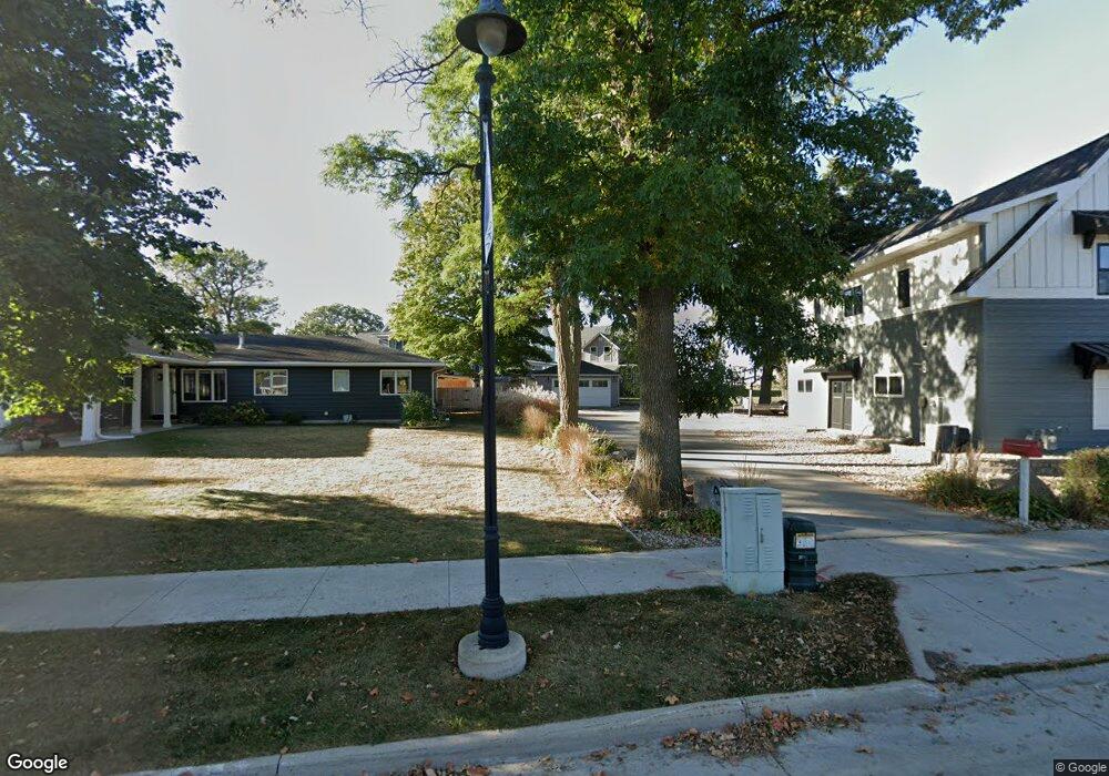
467 N Shore Dr #B Unit B Clear Lake, IA 50428
Estimated Value: $487,000 - $633,000
2
Beds
3
Baths
1,472
Sq Ft
$363/Sq Ft
Est. Value
About This Home
This home is located at 467 N Shore Dr #B Unit B, Clear Lake, IA 50428 and is currently estimated at $534,313, approximately $362 per square foot. 467 N Shore Dr #B Unit B is a home located in Cerro Gordo County with nearby schools including Clear Creek Elementary School, Clear Lake Middle School, and Clear Lake High School.
Ownership History
Date
Name
Owned For
Owner Type
Purchase Details
Closed on
Sep 29, 2022
Sold by
Law Mark A
Bought by
Mark A Law Revocable Trust
Current Estimated Value
Purchase Details
Closed on
Aug 6, 2019
Sold by
Lni Clear Lake Properties
Bought by
Law Mark A
Home Financials for this Owner
Home Financials are based on the most recent Mortgage that was taken out on this home.
Original Mortgage
$314,800
Interest Rate
3.7%
Mortgage Type
New Conventional
Purchase Details
Closed on
Oct 24, 2013
Sold by
Nelson Leslie E
Bought by
Lni Clear Lake Properties Llc
Purchase Details
Closed on
Jul 17, 2007
Sold by
Nelson Leslie E and Nelson Ruth Ivene
Bought by
Nelson Leslie E and Ruth I Nelson Revocable Trust
Create a Home Valuation Report for This Property
The Home Valuation Report is an in-depth analysis detailing your home's value as well as a comparison with similar homes in the area
Home Values in the Area
Average Home Value in this Area
Purchase History
| Date | Buyer | Sale Price | Title Company |
|---|---|---|---|
| Mark A Law Revocable Trust | -- | -- | |
| Law Mark A | -- | -- | |
| Lni Clear Lake Properties Llc | -- | None Available | |
| Nelson Leslie E | -- | None Available |
Source: Public Records
Mortgage History
| Date | Status | Borrower | Loan Amount |
|---|---|---|---|
| Previous Owner | Law Mark A | $314,800 |
Source: Public Records
Tax History Compared to Growth
Tax History
| Year | Tax Paid | Tax Assessment Tax Assessment Total Assessment is a certain percentage of the fair market value that is determined by local assessors to be the total taxable value of land and additions on the property. | Land | Improvement |
|---|---|---|---|---|
| 2024 | $7,322 | $537,930 | $203,750 | $334,180 |
| 2023 | $8,368 | $537,930 | $203,750 | $334,180 |
| 2022 | $7,046 | $534,340 | $203,750 | $330,590 |
| 2021 | $7,236 | $453,810 | $203,750 | $250,060 |
| 2020 | $7,237 | $459,530 | $203,750 | $255,780 |
| 2019 | $6,924 | $0 | $0 | $0 |
| 2018 | $6,768 | $0 | $0 | $0 |
| 2017 | $7,048 | $0 | $0 | $0 |
| 2016 | $6,788 | $0 | $0 | $0 |
| 2015 | $6,788 | $0 | $0 | $0 |
| 2014 | $7,208 | $0 | $0 | $0 |
| 2013 | $6,902 | $0 | $0 | $0 |
Source: Public Records
Map
Nearby Homes
- 501 N Shore Dr
- 415 N Shore Dr
- 414 N 3rd St
- 300 N 4th St
- Lot 9 Nash Ct
- 400 N 5th St
- 315 N 6th St
- Lot 3 Pine Brooke Dr
- 523 10th Ave N
- 504 Pine Brooke Dr
- 1117 Buddy Holly Place
- 902 N Shore Dr
- 1205 Buddy Holly Place
- 413 W 12th Ave N
- 409 W 12th Ave N
- 405 W 12th Ave N
- 313 W 12th Ave N
- 401 W 12th Ave N
- 404 W 12th Ave N
- 508 12th Ave N
- 463 N Shore Dr Unit B
- 463 N Shore Dr Unit A
- 463 N Shore Dr
- 467 N Shore Dr Unit C
- 467 N Shore Dr Unit B
- 467 N Shore Dr Unit A
- 467 N Shore Dr
- 463-B N Shore Dr
- 471 N Shore Dr Unit C
- 471 N Shore Dr Unit B
- 471 N Shore Dr Unit A
- 471 N Shore Dr
- 471 N Shore Dr #B Unit B
- 459 N Shore Dr
- 475 N Shore Dr
- 475 N Shore Dr
- 475 N Shore Dr
- 475 N Shore Dr
- 475 N Shore Dr
- 475 N Shore Dr