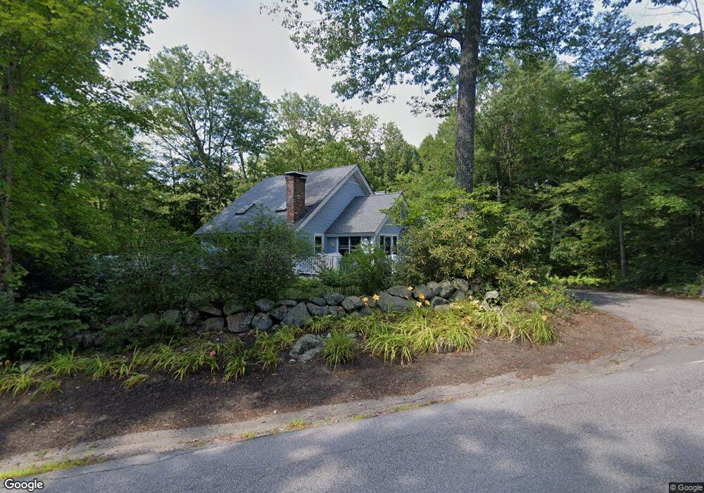
467 N Shore Rd Hebron, NH 03241
Estimated Value: $762,111 - $1,126,000
3
Beds
3
Baths
2,837
Sq Ft
$328/Sq Ft
Est. Value
About This Home
This home is located at 467 N Shore Rd, Hebron, NH 03241 and is currently estimated at $930,528, approximately $327 per square foot. 467 N Shore Rd is a home located in Grafton County with nearby schools including Bridgewater-Hebron Village School and Calvary Christian School.
Ownership History
Date
Name
Owned For
Owner Type
Purchase Details
Closed on
Jul 10, 2009
Sold by
Richard A Carrara Ret
Bought by
Obrien Michael and Obrien Carol Lynne M
Current Estimated Value
Home Financials for this Owner
Home Financials are based on the most recent Mortgage that was taken out on this home.
Original Mortgage
$215,000
Interest Rate
4.93%
Mortgage Type
Purchase Money Mortgage
Create a Home Valuation Report for This Property
The Home Valuation Report is an in-depth analysis detailing your home's value as well as a comparison with similar homes in the area
Home Values in the Area
Average Home Value in this Area
Purchase History
| Date | Buyer | Sale Price | Title Company |
|---|---|---|---|
| Obrien Michael | $415,000 | -- |
Source: Public Records
Mortgage History
| Date | Status | Borrower | Loan Amount |
|---|---|---|---|
| Open | Obrien Michael | $240,000 | |
| Closed | Obrien Michael | $215,000 |
Source: Public Records
Tax History Compared to Growth
Tax History
| Year | Tax Paid | Tax Assessment Tax Assessment Total Assessment is a certain percentage of the fair market value that is determined by local assessors to be the total taxable value of land and additions on the property. | Land | Improvement |
|---|---|---|---|---|
| 2024 | $3,952 | $565,400 | $210,700 | $354,700 |
| 2023 | $3,607 | $565,400 | $210,700 | $354,700 |
| 2022 | $3,862 | $565,400 | $210,700 | $354,700 |
| 2021 | $3,686 | $565,400 | $210,700 | $354,700 |
| 2020 | $3,822 | $398,100 | $142,100 | $256,000 |
| 2019 | $3,852 | $397,500 | $142,100 | $255,400 |
| 2018 | $3,323 | $397,500 | $142,100 | $255,400 |
| 2017 | $3,554 | $397,500 | $142,100 | $255,400 |
| 2016 | $3,307 | $397,500 | $142,100 | $255,400 |
| 2015 | $3,141 | $394,600 | $141,800 | $252,800 |
| 2014 | $3,228 | $394,600 | $141,800 | $252,800 |
| 2013 | $3,177 | $394,700 | $141,800 | $252,900 |
Source: Public Records
Map
Nearby Homes
- 10 Merrill Rd
- 431 George Rd
- 33 Winterberry Ln
- 613 Mayhew Turnpike Unit 227-024 & 227-023
- Lot 26 Skyline Dr
- 0 Skyline Dr Unit 19
- 497 W Shore Rd
- 171 Bell Rd
- 76 Davis Rd Unit 3
- 154 Bell Rd
- 00 Ledgewood Cir Unit 7
- 4 Birchwood Dr Unit A
- 862 Mayhew Turnpike Unit 1
- 193 New Hebron Rd
- 114 Ledgewood Terrace
- 208 New Hebron Rd
- 199 Cottage City Rd
- 341 Perkins Hill Rd
- 11 Clay Brook Dr
- 023 Yeaton Rd
- 431 N Shore Rd
- 38 Stoney Brook Rd
- 8 Evans Rd
- 9 Evans Rd
- 453 N Shore Rd
- 471 N Shore Rd
- 32 Stoney Brook Rd
- 29 Stoney Brook Rd
- 454 N Shore Rd
- 485 N Shore Rd
- 445 N Shore Rd
- 18 Evans Rd
- 13 Evans Rd
- 24 Stoney Brook Rd
- 23 Stoney Brook Rd
- 22 Evans Rd
- 17 Stoney Brook Rd
- 494 N Shore Rd
- 5 N Mayhew Turnpike
- 26 S Mayhew Turnpike