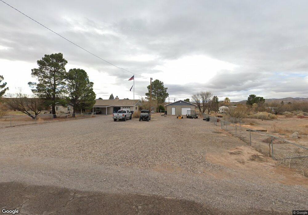
467 Ping Dr Duncan, AZ 85534
Estimated Value: $110,000
Studio
--
Bath
--
Sq Ft
53,143
Sq Ft Lot
About This Home
This home is located at 467 Ping Dr, Duncan, AZ 85534 and is currently estimated at $110,000. 467 Ping Dr is a home located in Greenlee County with nearby schools including Duncan Elementary School and Duncan High School.
Ownership History
Date
Name
Owned For
Owner Type
Purchase Details
Closed on
Dec 11, 2012
Sold by
Marsh Douglas
Bought by
King Jeff
Current Estimated Value
Home Financials for this Owner
Home Financials are based on the most recent Mortgage that was taken out on this home.
Original Mortgage
$142,500
Outstanding Balance
$97,267
Interest Rate
3.36%
Mortgage Type
New Conventional
Estimated Equity
$12,733
Purchase Details
Closed on
Dec 4, 2012
Sold by
Marsh Douglas and Marsh Carline Y
Bought by
King Jeff and King Jessica
Home Financials for this Owner
Home Financials are based on the most recent Mortgage that was taken out on this home.
Original Mortgage
$142,500
Outstanding Balance
$97,267
Interest Rate
3.36%
Mortgage Type
New Conventional
Estimated Equity
$12,733
Create a Home Valuation Report for This Property
The Home Valuation Report is an in-depth analysis detailing your home's value as well as a comparison with similar homes in the area
Purchase History
| Date | Buyer | Sale Price | Title Company |
|---|---|---|---|
| King Jeff | -- | Safford Title Agency Inc | |
| King Jeff | $152,000 | Safford Title Agency Inc |
Source: Public Records
Mortgage History
| Date | Status | Borrower | Loan Amount |
|---|---|---|---|
| Open | King Jeff | $142,500 | |
| Closed | King Jeff | $142,500 |
Source: Public Records
Tax History
| Year | Tax Paid | Tax Assessment Tax Assessment Total Assessment is a certain percentage of the fair market value that is determined by local assessors to be the total taxable value of land and additions on the property. | Land | Improvement |
|---|---|---|---|---|
| 2026 | $84 | -- | -- | -- |
| 2025 | $84 | $1,616 | $1,616 | $0 |
| 2024 | $80 | $1,405 | $1,405 | $0 |
| 2023 | $84 | $1,405 | $1,405 | $0 |
| 2022 | $80 | $1,222 | $1,222 | $0 |
| 2021 | $82 | $0 | $0 | $0 |
| 2020 | $80 | $0 | $0 | $0 |
| 2019 | $53 | $0 | $0 | $0 |
| 2018 | $51 | $0 | $0 | $0 |
| 2017 | $53 | $0 | $0 | $0 |
| 2016 | $5,146 | $0 | $0 | $0 |
| 2015 | $152,350 | $0 | $0 | $0 |
Source: Public Records
Map
Nearby Homes
- 0 La Canada Rd
- TBD La Canada Rd Unit n/a
- 220 Kaywood Wash Rd
- 715 Tyler Farms Rd
- 160 Prickle Pear
- 0 Tbd Unit 1721738
- 123 6th St
- 198 Fourth St
- 240 3rd St
- 110 Leonard Ave
- 287, 291 Chase Creek
- 455 Campbell St
- TBD Campbell Mesquite St
- 0 Campbell St
- 124 Cricket Way
- 99 Campbell St
- 0 Tbd Unit 1720854
- 202 Madison St
- 380254 Highway 70 E
- 205 Parks Canyon Rd Unit 27
Your Personal Tour Guide
Ask me questions while you tour the home.