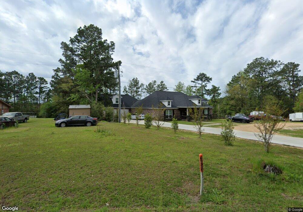
467 Stringer Bullock Rd Foxworth, MS 39483
Estimated Value: $280,000 - $394,000
Studio
1
Bath
3,893
Sq Ft
$88/Sq Ft
Est. Value
About This Home
This home is located at 467 Stringer Bullock Rd, Foxworth, MS 39483 and is currently estimated at $342,034, approximately $87 per square foot. 467 Stringer Bullock Rd is a home located in Marion County with nearby schools including West Marion Primary School, West Marion Elementary School, and West Marion High School.
Ownership History
Date
Name
Owned For
Owner Type
Purchase Details
Closed on
Feb 21, 2025
Sold by
Anderson Larry Frank and Anderson Peggy Jean
Bought by
Anderson Larry Frank and Anderson Peggy Jean
Current Estimated Value
Purchase Details
Closed on
Feb 14, 2019
Sold by
Cec Llc
Bought by
Opening T
Create a Home Valuation Report for This Property
The Home Valuation Report is an in-depth analysis detailing your home's value as well as a comparison with similar homes in the area
Purchase History
| Date | Buyer | Sale Price | Title Company |
|---|---|---|---|
| Anderson Larry Frank | -- | None Listed On Document | |
| Anderson Larry Frank | -- | None Listed On Document | |
| Opening T | -- | -- |
Source: Public Records
Tax History
| Year | Tax Paid | Tax Assessment Tax Assessment Total Assessment is a certain percentage of the fair market value that is determined by local assessors to be the total taxable value of land and additions on the property. | Land | Improvement |
|---|---|---|---|---|
| 2025 | $3,292 | $28,590 | $0 | $0 |
| 2024 | $2,785 | $21,748 | $0 | $0 |
| 2023 | $2,850 | $22,207 | $0 | $0 |
| 2022 | $2,639 | $22,207 | $0 | $0 |
| 2021 | $2,683 | $22,667 | $0 | $0 |
| 2020 | $2,563 | $21,361 | $0 | $0 |
| 2019 | $2,563 | $21,361 | $0 | $0 |
| 2018 | $2,592 | $21,575 | $0 | $0 |
| 2017 | $2,621 | $21,788 | $0 | $0 |
| 2016 | $61 | $702 | $0 | $0 |
| 2015 | $765 | $8,223 | $0 | $0 |
| 2014 | $765 | $8,223 | $0 | $0 |
Source: Public Records
Map
Nearby Homes
- 274 Jamestown Rd Unit LotWP001
- 0 Rocky Top Ln
- 1943 U S 98
- 2689 Highway 35 S
- 1608 Mississippi 586
- 0 10 Mile Creek Rd
- 1608 Mississippi 586
- 75 Terrys Chapel Rd
- 41 Terrys Chapel Rd
- 0 Dunaway Unit LotWP001 23713574
- 10 Mile Creek Rd
- 731 New Hope-Kokomo Rd
- 0 Mccain Rd
- 39 Henry Lee Ln
- 328 2nd St
- 355 Eagle Day Ave
- 180 Shiloh-Firetower Rd
- 0 Mount Carmel Church Rd
- 0 Us 98 & Eagle Day Unit 141643
- 936 Main St
- 463 Stringer Bullock Rd
- 460 Stringer Bullock Rd
- 446 Stringer Bullock Rd
- 1378 New Hope Church Rd
- 1 Old New Hope Rd
- 1358 New Hope Church Rd
- 1338 New Hope Church Rd
- 339 Stringer Bullock Rd
- 339 Stringer Bullock Rd
- 348 Stringer Bullock Rd
- 108 Old New Hope Rd
- 1287 New Hope Church Rd
- 1287 New Hope Church Rd
- 1273 New Hope Church Rd
- 307 Stringer Bullock Rd
- 278 Stringer Bullock Rd
- 32 Cedar Hill Rd
- 0 Stringer Bullock Rd
- 1232 New Hope Church Rd
- 000 Stringer Bullock Rd
Your Personal Tour Guide
Ask me questions while you tour the home.