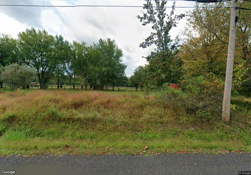
4670 Mcneil Rd Doylestown, PA 18902
Plumstead NeighborhoodEstimated Value: $819,724
4
Beds
1
Bath
2,258
Sq Ft
$363/Sq Ft
Est. Value
About This Home
This home is located at 4670 Mcneil Rd, Doylestown, PA 18902 and is currently priced at $819,724, approximately $363 per square foot. 4670 Mcneil Rd is a home located in Bucks County with nearby schools including Gayman Elementary School, Tohickon Middle School, and Central Bucks High School - East.
Ownership History
Date
Name
Owned For
Owner Type
Purchase Details
Closed on
Jul 9, 2024
Sold by
Crossett Carol R and Michener Carol E
Bought by
Crossett Robert A and Crossett Carol R
Current Estimated Value
Purchase Details
Closed on
Apr 3, 2003
Sold by
Michener Eugene P and Bornmann Carol E
Bought by
Michener Eugene P and Michener Carol E
Home Financials for this Owner
Home Financials are based on the most recent Mortgage that was taken out on this home.
Original Mortgage
$125,000
Interest Rate
5.77%
Mortgage Type
Unknown
Purchase Details
Closed on
Sep 10, 1996
Sold by
Hobart Myers Jr Revocable Trust
Bought by
Michener Eugene P and Bornmann Carol E
Home Financials for this Owner
Home Financials are based on the most recent Mortgage that was taken out on this home.
Original Mortgage
$130,000
Interest Rate
7.87%
Create a Home Valuation Report for This Property
The Home Valuation Report is an in-depth analysis detailing your home's value as well as a comparison with similar homes in the area
Home Values in the Area
Average Home Value in this Area
Purchase History
| Date | Buyer | Sale Price | Title Company |
|---|---|---|---|
| Crossett Robert A | -- | None Listed On Document | |
| Michener Eugene P | -- | -- | |
| Michener Eugene P | $177,000 | -- |
Source: Public Records
Mortgage History
| Date | Status | Borrower | Loan Amount |
|---|---|---|---|
| Previous Owner | Michener Eugene P | $125,000 | |
| Previous Owner | Michener Eugene P | $130,000 |
Source: Public Records
Tax History Compared to Growth
Tax History
| Year | Tax Paid | Tax Assessment Tax Assessment Total Assessment is a certain percentage of the fair market value that is determined by local assessors to be the total taxable value of land and additions on the property. | Land | Improvement |
|---|---|---|---|---|
| 2025 | $6,080 | -- | -- | -- |
| 2024 | $6,080 | $34,990 | $5,570 | $29,420 |
| 2023 | $5,886 | $34,990 | $5,570 | $29,420 |
| 2022 | $5,821 | $34,990 | $5,570 | $29,420 |
| 2021 | $5,756 | $34,990 | $5,570 | $29,420 |
| 2020 | $5,756 | $34,990 | $5,570 | $29,420 |
| 2019 | $5,721 | $34,990 | $5,570 | $29,420 |
| 2018 | $5,721 | $34,990 | $5,570 | $29,420 |
| 2017 | $5,642 | $34,990 | $5,570 | $29,420 |
| 2016 | $5,642 | $34,990 | $5,570 | $29,420 |
| 2015 | -- | $34,990 | $5,570 | $29,420 |
| 2014 | -- | $34,990 | $5,570 | $29,420 |
Source: Public Records
Map
Nearby Homes
- 5987 Point Pleasant Pike
- 5805 Ridgeview Dr
- 5829 Ridgeview Dr
- 5730 Carversville Rd
- 6680 Point Pleasant Pike
- 5182 Point Pleasant Pike
- 5382 Wismer Rd
- 6163 Carversville Rd
- 6169 Carversville Rd
- 0 Old Durham Rd
- 5529 Geddes Way
- 6469 Groveland Rd
- 4964 Point Pleasant Pike
- Lot 1 Groveland Rd
- 5491 Long Ln
- 4925 Redfield Rd
- 5063 Sagewood Ct
- 4936 Curly Hill Rd
- 6374 Saw Mill Rd
- 5403 Stump Rd
- 4682 Mcneil Rd
- 4716 Mcneil Rd
- 4717 Mcneil Rd
- 4600 Mcneil Rd
- 5928 Ferry Rd
- 5948 Ferry Rd
- 6012 Ferry Rd
- 5937 Twin Silo Rd
- 00 McNeal Ferry Roads
- 4540 Mcneil Rd
- 5979 Point Pleasant Pike
- 5821 Twin Silo Rd
- 6047 Ferry Rd
- 5949 Twin Silo Rd
- 6001 Twin Silo Rd
- 5805 Twin Silo Rd
- 4571 Mcneil Rd
- 5945 Point Pleasant Pike
- 5975 Point Pleasant Pike
- 6055 Ferry Rd
