4671 E Sherrill Rd Minooka, IL 60447
North Minooka NeighborhoodEstimated Value: $663,066 - $764,000
3
Beds
2
Baths
2,542
Sq Ft
$281/Sq Ft
Est. Value
About This Home
This home is located at 4671 E Sherrill Rd, Minooka, IL 60447 and is currently estimated at $713,533, approximately $280 per square foot. 4671 E Sherrill Rd is a home located in Kendall County with nearby schools including Jones Elementary School, Minooka Junior High School, and Minooka Intermediate School.
Ownership History
Date
Name
Owned For
Owner Type
Purchase Details
Closed on
Dec 4, 2025
Sold by
Bolte Mary Susan
Bought by
Mary Susan Bolte Declaration Of Trust and Bolte
Current Estimated Value
Purchase Details
Closed on
Aug 16, 2011
Sold by
Bolte Kenneth A
Bought by
Bolte Kenneth A and Bolte Mary Susan
Home Financials for this Owner
Home Financials are based on the most recent Mortgage that was taken out on this home.
Original Mortgage
$200,000
Interest Rate
5.25%
Mortgage Type
Purchase Money Mortgage
Purchase Details
Closed on
Dec 18, 2000
Sold by
Bolte Donald A
Bought by
Bolte Ellen R
Create a Home Valuation Report for This Property
The Home Valuation Report is an in-depth analysis detailing your home's value as well as a comparison with similar homes in the area
Home Values in the Area
Average Home Value in this Area
Purchase History
| Date | Buyer | Sale Price | Title Company |
|---|---|---|---|
| Mary Susan Bolte Declaration Of Trust | -- | None Listed On Document | |
| Bolte Kenneth A | -- | None Available | |
| Bolte Kenneth A | $200,000 | None Available | |
| Bolte Ellen R | -- | -- |
Source: Public Records
Mortgage History
| Date | Status | Borrower | Loan Amount |
|---|---|---|---|
| Previous Owner | Bolte Kenneth A | $200,000 |
Source: Public Records
Tax History
| Year | Tax Paid | Tax Assessment Tax Assessment Total Assessment is a certain percentage of the fair market value that is determined by local assessors to be the total taxable value of land and additions on the property. | Land | Improvement |
|---|---|---|---|---|
| 2024 | $10,681 | $147,935 | $18,561 | $129,374 |
| 2023 | $9,204 | $132,440 | $16,807 | $115,633 |
| 2022 | $9,204 | $115,215 | $16,627 | $98,588 |
| 2021 | $8,919 | $108,859 | $16,477 | $92,382 |
| 2020 | $8,686 | $103,202 | $15,424 | $87,778 |
| 2019 | $8,590 | $99,304 | $14,682 | $84,622 |
| 2018 | $8,273 | $95,626 | $14,562 | $81,064 |
| 2017 | $8,199 | $91,480 | $14,452 | $77,028 |
| 2016 | $7,764 | $86,007 | $14,225 | $71,782 |
| 2015 | $7,809 | $85,897 | $14,115 | $71,782 |
| 2014 | -- | $80,117 | $14,055 | $66,062 |
| 2013 | -- | $0 | $0 | $0 |
Source: Public Records
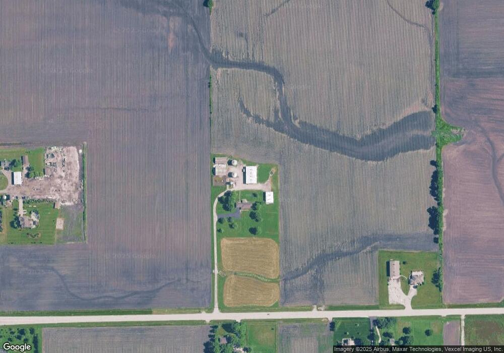
Map
Nearby Homes
- 2823 Ninovan Ln
- 2811 Ninovan Ln
- 2812 Ninovan Ln
- 2813 Ninovan Ln
- 23 Birch Ave
- 12 Maple St
- 35 Cedar St
- 15775 Brisbin Rd
- 6010-6060 E Minooka Rd
- Lot 1 Minooka Ridge & Jones Rd
- 2041 Isabella Ln
- 1133 Coneflower Ct
- 2037 Isabella Ln
- 5455 Sand Ridge Rd
- 706 O Toole Dr
- LOT 28 O Toole Dr
- 714 Joanne Dr
- 1529 Balboa Dr Unit 2A
- 1510 Balboa Dr
- 805 Edgewater Dr
- 4285 E Sherrill Rd
- 4509 E Sherrill Rd
- 4415 E Sherrill Rd
- 4425 E Sherrill Rd
- 17840 Grove Rd
- 4515 Sherrill Rd
- 11975 Grove Rd
- 23145 Grove Rd
- 4525 Sherrill Rd
- 17765 Grove Rd
- 3735 E Sherrill Rd
- 4625 Sherrill Rd
- 3825 E Sherrill Rd
- 4675 Sherrill Rd
- 4675 E Sherrill Rd
- 4745 E Sherrill Rd
- 3775 E Sherrill Rd
- 11610 Grove Rd
- 4877 E Sherrill Rd
- 3545 E Sherrill Rd
Your Personal Tour Guide
Ask me questions while you tour the home.