4671 E State Route 302 Belfair, WA 98528
Estimated Value: $726,000 - $893,000
3
Beds
3
Baths
2,709
Sq Ft
$303/Sq Ft
Est. Value
About This Home
This home is located at 4671 E State Route 302, Belfair, WA 98528 and is currently estimated at $819,902, approximately $302 per square foot. 4671 E State Route 302 is a home with nearby schools including North Mason Senior High School.
Ownership History
Date
Name
Owned For
Owner Type
Purchase Details
Closed on
Nov 17, 2017
Sold by
Johnson Nicholas J
Bought by
Johnson Nicholas J and Johnson Elizabeth
Current Estimated Value
Purchase Details
Closed on
Nov 4, 2017
Sold by
Johnson Nicholas
Bought by
Johnson Nicholas and Johnson Elizabeth
Purchase Details
Closed on
Jun 19, 2009
Sold by
Johnson Thomas W and Johnson Karen J
Bought by
Johnson Nicholas J
Home Financials for this Owner
Home Financials are based on the most recent Mortgage that was taken out on this home.
Original Mortgage
$93,250
Interest Rate
4.82%
Mortgage Type
Unknown
Create a Home Valuation Report for This Property
The Home Valuation Report is an in-depth analysis detailing your home's value as well as a comparison with similar homes in the area
Home Values in the Area
Average Home Value in this Area
Purchase History
| Date | Buyer | Sale Price | Title Company |
|---|---|---|---|
| Johnson Nicholas J | -- | None Listed On Document | |
| Johnson Nicholas | -- | None Available | |
| Johnson Nicholas J | $93,500 | Mason County Title Ins Co |
Source: Public Records
Mortgage History
| Date | Status | Borrower | Loan Amount |
|---|---|---|---|
| Previous Owner | Johnson Nicholas J | $93,250 |
Source: Public Records
Tax History Compared to Growth
Tax History
| Year | Tax Paid | Tax Assessment Tax Assessment Total Assessment is a certain percentage of the fair market value that is determined by local assessors to be the total taxable value of land and additions on the property. | Land | Improvement |
|---|---|---|---|---|
| 2025 | $6,139 | $766,795 | $60,025 | $706,770 |
| 2024 | $6,139 | $789,985 | $64,545 | $725,440 |
| 2023 | $5,541 | $619,710 | $47,110 | $572,600 |
| 2022 | $5,073 | $560,400 | $39,785 | $520,615 |
| 2021 | $4,685 | $560,400 | $39,785 | $520,615 |
| 2020 | $5,200 | $537,025 | $36,170 | $500,855 |
| 2018 | $4,698 | $396,675 | $34,445 | $362,230 |
| 2017 | $4,244 | $396,675 | $34,445 | $362,230 |
| 2016 | $2,908 | $369,845 | $34,445 | $335,400 |
| 2015 | $2,803 | $253,805 | $35,500 | $218,305 |
| 2014 | -- | $247,740 | $32,500 | $215,240 |
| 2013 | -- | $248,915 | $45,000 | $203,915 |
Source: Public Records
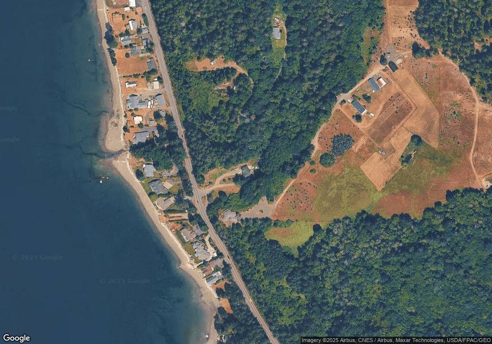
Map
Nearby Homes
- 0 Undisclosed Unit NWM2427708
- 7530 E Grapeview Loop Rd
- 116th 166th St NW
- 5662 E State Route 302
- 13505 E Victor Rd
- 81 E Bay Heights Dr
- 18280 E State Route 3
- 8320 E Grapeview Loop Rd
- 11415 189th Ave NW
- 360 E Bay Heights Dr
- 0 E Wheelwright St S
- 0 Sullivan Rd
- 2006 140th St NW
- 71 E Sullivan St
- 1857 Plan at Allyn Ridge
- 1479 Plan at Allyn Ridge
- 90 E Compass Ln
- 80 E Compass Ln
- 60 Compass Ln E Unit A98524
- 6030 E Compass Ln
- 4580 E State Rt 302
- 4675 E State Route 302
- 4670 E State Route 302
- 4620 E State Route 302
- 4650 E State Route 302
- 4690 E State Route 302
- 4700 E State Route 302
- 4620 Washington 302
- 4710 E State Route 302
- 4593 E State Route 302
- 4590 E State Route 302
- 4730 E State Route 302
- 4580 E State Route 302 Unit A
- 4552 E State Route 302
- 4740 E State Route 302
- 4597 E State Route 302
- 4550 E State Route 302
- 4540 E State Route 302
- 4530 E State Route 302
- 4510 E State Route 302