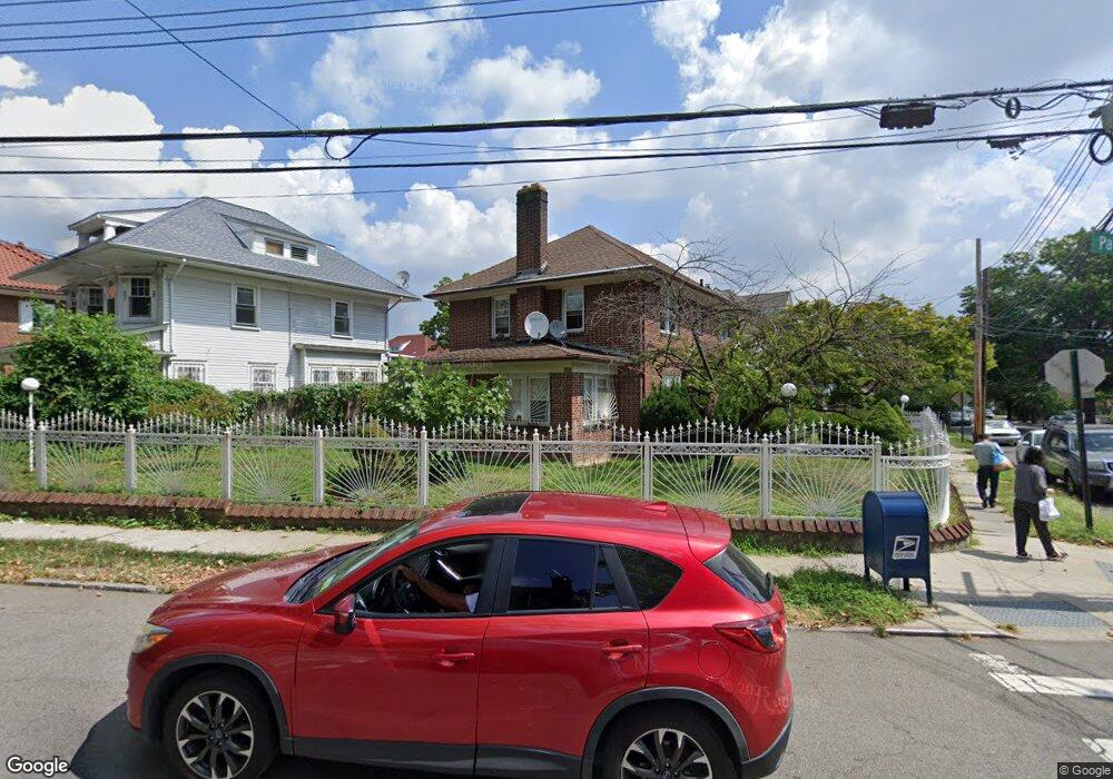
4671 Parsons Blvd Flushing, NY 11355
Flushing NeighborhoodEstimated Value: $1,410,935 - $1,705,000
--
Bed
--
Bath
2,291
Sq Ft
$681/Sq Ft
Est. Value
About This Home
This home is located at 4671 Parsons Blvd, Flushing, NY 11355 and is currently estimated at $1,561,234, approximately $681 per square foot. 4671 Parsons Blvd is a home located in Queens County with nearby schools including P.S. 024 Andrew Jackson School, Rachel Carson I.S. 237Q, and Francis Lewis High School.
Ownership History
Date
Name
Owned For
Owner Type
Purchase Details
Closed on
Aug 26, 2015
Sold by
Waziri Abdul Hadi
Bought by
Zheng Ai Zhen
Current Estimated Value
Purchase Details
Closed on
Aug 21, 2000
Sold by
Dobre Anthony
Bought by
Waziri Abdul Hady
Home Financials for this Owner
Home Financials are based on the most recent Mortgage that was taken out on this home.
Original Mortgage
$286,000
Interest Rate
8.1%
Mortgage Type
Balloon
Create a Home Valuation Report for This Property
The Home Valuation Report is an in-depth analysis detailing your home's value as well as a comparison with similar homes in the area
Home Values in the Area
Average Home Value in this Area
Purchase History
| Date | Buyer | Sale Price | Title Company |
|---|---|---|---|
| Zheng Ai Zhen | $1,050,000 | -- | |
| Waziri Abdul Hady | $425,000 | -- |
Source: Public Records
Mortgage History
| Date | Status | Borrower | Loan Amount |
|---|---|---|---|
| Previous Owner | Waziri Abdul Hady | $286,000 |
Source: Public Records
Tax History Compared to Growth
Tax History
| Year | Tax Paid | Tax Assessment Tax Assessment Total Assessment is a certain percentage of the fair market value that is determined by local assessors to be the total taxable value of land and additions on the property. | Land | Improvement |
|---|---|---|---|---|
| 2025 | $11,235 | $59,290 | $16,691 | $42,599 |
| 2024 | $11,235 | $55,937 | $17,172 | $38,765 |
| 2023 | $10,915 | $53,746 | $15,699 | $38,047 |
| 2022 | $10,729 | $80,520 | $22,380 | $58,140 |
| 2021 | $11,021 | $71,340 | $22,380 | $48,960 |
| 2020 | $10,458 | $66,600 | $22,380 | $44,220 |
| 2019 | $9,751 | $71,940 | $22,380 | $49,560 |
| 2018 | $9,130 | $44,788 | $14,062 | $30,726 |
| 2017 | $9,130 | $44,788 | $15,540 | $29,248 |
| 2016 | $8,415 | $44,788 | $15,540 | $29,248 |
| 2015 | $4,876 | $41,173 | $19,867 | $21,306 |
| 2014 | $4,876 | $38,845 | $19,469 | $19,376 |
Source: Public Records
Map
Nearby Homes
- 148-29 Laburnum Ave
- 14824 Kalmia Ave
- 148-10 Kalmia Ave
- 148-24 Kalmia Ave
- 148-11 Kalmia Ave
- 14335 Poplar Ave
- 157-18 Laburnum Ave
- 46-43 157th St
- 43-45 Burling St
- 143-16 Holly Ave
- 157-51 Rose Ave
- 52-06 Bowne St
- 46-05 158th St
- 52-05 Robinson St
- 45-24 Burling St
- 140-50 Quince Ave
- 14014 Negundo Ave
- 4530 Smart St
- 45-57 157th St
- 14014 Poplar Ave
- 4671 Parsons Blvd
- 48-05 Parsons Blvd
- 46-67 Parsons Blvd
- 4667 Parsons Blvd
- 47-09 Parsons Blvd
- 14807 Laburnum Ave
- 0 Laburnum Ave
- 4663 Parsons Blvd
- 14815 Laburnum Ave
- 46-63 Parsons Blvd
- 14815 Laburnum Ave
- 14814 Kalmia Ave
- 14820 Kalmia Ave
- 14820 Kalmia Ave
- 4701 Parsons Blvd
- 14810 Kalmia Ave
- 14817 Laburnum Ave
- 14629 Laburnum Ave
- 4655 Parsons Blvd
- 14828 Kalmia Ave