4674 Elevation Rd Unit None Benson, NC 27504
Elevation NeighborhoodEstimated Value: $66,421 - $286,000
Studio
--
Bath
--
Sq Ft
53,143
Sq Ft Lot
About This Home
This home is located at 4674 Elevation Rd Unit None, Benson, NC 27504 and is currently estimated at $176,211. 4674 Elevation Rd Unit None is a home located in Johnston County with nearby schools including Benson Elementary School, Benson Middle School, and South Johnston High School.
Ownership History
Date
Name
Owned For
Owner Type
Purchase Details
Closed on
Oct 22, 2015
Sold by
Howard Boyd and Howard Loretta
Bought by
Phillips Charles A and Nguyen Dao T
Current Estimated Value
Purchase Details
Closed on
Apr 4, 2007
Sold by
Pope James W and Pope April
Bought by
Howard Boyd and Howard Loretta
Purchase Details
Closed on
Dec 31, 2004
Sold by
Harris Jonathan David and Harris Amy D
Bought by
Pope James W and Pope April
Purchase Details
Closed on
Jun 13, 2003
Sold by
Harris Jonathan David
Bought by
Smith Lawerence
Create a Home Valuation Report for This Property
The Home Valuation Report is an in-depth analysis detailing your home's value as well as a comparison with similar homes in the area
Home Values in the Area
Average Home Value in this Area
Purchase History
| Date | Buyer | Sale Price | Title Company |
|---|---|---|---|
| Phillips Charles A | $30,000 | None Available | |
| Howard Boyd | $27,000 | None Available | |
| Pope James W | $46,500 | None Available | |
| Smith Lawerence | $15,000 | -- |
Source: Public Records
Tax History
| Year | Tax Paid | Tax Assessment Tax Assessment Total Assessment is a certain percentage of the fair market value that is determined by local assessors to be the total taxable value of land and additions on the property. | Land | Improvement |
|---|---|---|---|---|
| 2025 | $459 | $72,250 | $63,250 | $9,000 |
| 2024 | $292 | $36,110 | $29,510 | $6,600 |
| 2023 | $285 | $36,110 | $29,510 | $6,600 |
| 2022 | $300 | $36,110 | $29,510 | $6,600 |
| 2021 | $300 | $36,110 | $29,510 | $6,600 |
| 2020 | $311 | $36,110 | $29,510 | $6,600 |
| 2019 | $311 | $36,110 | $29,510 | $6,600 |
| 2018 | $249 | $28,250 | $23,070 | $5,180 |
| 2017 | $249 | $28,250 | $23,070 | $5,180 |
| 2016 | $249 | $28,250 | $23,070 | $5,180 |
| 2015 | $249 | $28,250 | $23,070 | $5,180 |
| 2014 | $249 | $28,250 | $23,070 | $5,180 |
Source: Public Records
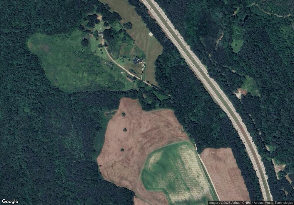
Map
Nearby Homes
- 8234 Elevation Rd
- 127 Sherrill Farm Dr
- 130 Tulipfield Way
- 191 Belmont Farms Dr
- 6441 Elevation Rd
- 6425 Elevation Rd
- 209 E American Marigold Dr Unit 44
- 209 E American Marigold Dr
- 140 E American Marigold Dr
- 251 White Azalea Way
- 69 White Azalea Way
- 69-81 White Azalea Way
- 236 White Azalea Way
- 236 White Azalea Way Unit 76
- 272 White Azalea Way Unit 75
- 272 White Azalea Way
- 291 White Azalea Way
- 294 White Azalea Way Unit 74
- 294 White Azalea Way
- 311 White Azaela Way
- 4674 Elevation Rd
- 4678 Elevation Rd
- 4670 Elevation Rd
- 4676 Elevation Rd
- 4894 Elevation Rd Unit C
- 4894 Elevation Rd
- 4894 Elevation Rd Unit B
- 4830 Elevation Rd
- 4700 Elevation Rd
- 4700 Elevation Rd
- 4610 Elevation Rd
- 100 Elevation Hwy
- 4360 Elevation Rd
- 4719 Elevation Rd
- 4466 Elevation Rd
- 1331 Sr
- 4852 Elevation Rd
- 4882 Elevation Rd
- 4412 Elevation Rd
- 4501 Elevation Rd
Your Personal Tour Guide
Ask me questions while you tour the home.