Estimated Value: $1,035,397 - $1,269,000
3
Beds
3
Baths
1,963
Sq Ft
$602/Sq Ft
Est. Value
About This Home
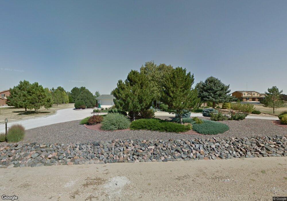
This home is located at 4674 Sylvia Ln, Erie, CO 80516 and is currently estimated at $1,181,599, approximately $601 per square foot. 4674 Sylvia Ln is a home located in Weld County with nearby schools including Erie Elementary School, Erie Middle School, and Erie High School.
Ownership History
Date
Name
Owned For
Owner Type
Purchase Details
Closed on
Oct 19, 2015
Sold by
Jones Robert L
Bought by
Hudson Kimmine and Hudson Mitchell
Current Estimated Value
Home Financials for this Owner
Home Financials are based on the most recent Mortgage that was taken out on this home.
Original Mortgage
$510,300
Outstanding Balance
$402,586
Interest Rate
3.96%
Mortgage Type
VA
Estimated Equity
$779,013
Purchase Details
Closed on
Mar 29, 1999
Sold by
Rhoades William D and Rhoades Joan O
Bought by
Jones Robert L
Home Financials for this Owner
Home Financials are based on the most recent Mortgage that was taken out on this home.
Original Mortgage
$226,400
Interest Rate
6.82%
Purchase Details
Closed on
May 1, 1992
Sold by
Twin Peaks Printing Inc
Bought by
Rhoades William D and Rhoades Joan O
Purchase Details
Closed on
Nov 15, 1988
Sold by
Pault Jerrold D and Pault Cynthia L
Bought by
Twin Peaks Printing Inc
Purchase Details
Closed on
May 27, 1983
Create a Home Valuation Report for This Property
The Home Valuation Report is an in-depth analysis detailing your home's value as well as a comparison with similar homes in the area
Home Values in the Area
Average Home Value in this Area
Purchase History
| Date | Buyer | Sale Price | Title Company |
|---|---|---|---|
| Hudson Kimmine | $670,000 | Fidelity National Title | |
| Jones Robert L | $283,000 | -- | |
| Rhoades William D | $152,000 | -- | |
| Twin Peaks Printing Inc | $121,000 | -- | |
| -- | -- | -- | |
| Twin Peaks Printing Inc | $97,500 | -- |
Source: Public Records
Mortgage History
| Date | Status | Borrower | Loan Amount |
|---|---|---|---|
| Open | Hudson Kimmine | $510,300 | |
| Previous Owner | Jones Robert L | $226,400 |
Source: Public Records
Tax History Compared to Growth
Tax History
| Year | Tax Paid | Tax Assessment Tax Assessment Total Assessment is a certain percentage of the fair market value that is determined by local assessors to be the total taxable value of land and additions on the property. | Land | Improvement |
|---|---|---|---|---|
| 2025 | $6,038 | $68,060 | $21,090 | $46,970 |
| 2024 | $6,038 | $68,060 | $21,090 | $46,970 |
| 2023 | $5,790 | $68,890 | $22,820 | $46,070 |
| 2022 | $5,132 | $54,680 | $17,610 | $37,070 |
| 2021 | $5,223 | $56,260 | $18,120 | $38,140 |
| 2020 | $4,184 | $45,470 | $17,200 | $28,270 |
| 2019 | $4,231 | $45,470 | $17,200 | $28,270 |
| 2018 | $3,695 | $40,200 | $8,960 | $31,240 |
| 2017 | $3,546 | $40,200 | $8,960 | $31,240 |
| 2016 | $3,303 | $37,210 | $9,910 | $27,300 |
| 2015 | $3,190 | $37,210 | $9,910 | $27,300 |
| 2014 | $2,587 | $30,260 | $9,910 | $20,350 |
Source: Public Records
Map
Nearby Homes
- 4625 Beverly Ln
- 4764 Beverly Ln
- 1820 Metcalf Ct
- 818 County Road 10 1 2
- 270 Maddox Ln
- 1809 Meagan Way
- 1920 Miranda Rd
- 65 Marlowe Dr
- 1963 Merrill Dr
- 938 Flora View Dr
- 1324 Northview Dr
- 895 Golden Peak Dr
- 1924 Morgan Dr
- 1060 Ascent Trail Cir
- 965 Quarry Cir
- 1783 Morgan Dr
- 874 Quarry Cir
- 797 Flora View Dr
- 784 Sundown Way
- 833 Audubon Peak Dr
- 4673 Sylvia Ln
- 4732 Sylvia Ln
- 4624 Sylvia Ln
- 4715 Sylvia Ln
- 4625 Sylvia Ln
- 4743 Sylvia Ln
- 4675 Betty Place
- 4763 Sylvia Ln
- 4717 Betty Place
- 1278 Rue de Trust
- 1216 Rue de Trust
- 1338 Rue de Trust
- 4772 Sylvia Ln
- 1206 Rue de Trust
- 4627 Betty Place
- 1380 Rue de Trust
- 1137 Rue de Trust
- 4763 Betty Place
- 4696 Anne Place
- 4726 Betty Place