46747 State Route 26 Woodsfield, OH 43793
Estimated Value: $196,000 - $400,841
--
Bed
3
Baths
1,374
Sq Ft
$217/Sq Ft
Est. Value
About This Home
This home is located at 46747 State Route 26, Woodsfield, OH 43793 and is currently estimated at $298,421, approximately $217 per square foot. 46747 State Route 26 is a home located in Monroe County with nearby schools including Woodsfield Elementary School, River Elementary School, and Monroe Central High School.
Ownership History
Date
Name
Owned For
Owner Type
Purchase Details
Closed on
Oct 18, 2024
Sold by
Schumacher Barbara F
Bought by
Rowe Courtney and Parcell Megan
Current Estimated Value
Purchase Details
Closed on
Dec 1, 2004
Bought by
Schumacher Robert E
Create a Home Valuation Report for This Property
The Home Valuation Report is an in-depth analysis detailing your home's value as well as a comparison with similar homes in the area
Home Values in the Area
Average Home Value in this Area
Purchase History
| Date | Buyer | Sale Price | Title Company |
|---|---|---|---|
| Rowe Courtney | -- | None Listed On Document | |
| Rowe Courtney | -- | None Listed On Document | |
| Schumacher Robert E | -- | -- |
Source: Public Records
Tax History Compared to Growth
Tax History
| Year | Tax Paid | Tax Assessment Tax Assessment Total Assessment is a certain percentage of the fair market value that is determined by local assessors to be the total taxable value of land and additions on the property. | Land | Improvement |
|---|---|---|---|---|
| 2024 | $2,515 | $78,420 | $13,490 | $64,930 |
| 2023 | $2,515 | $78,420 | $13,490 | $64,930 |
| 2022 | $2,514 | $78,420 | $13,490 | $64,930 |
| 2021 | $2,499 | $76,800 | $11,270 | $65,530 |
| 2020 | $2,500 | $76,800 | $11,270 | $65,530 |
| 2019 | $2,460 | $77,070 | $11,540 | $65,530 |
| 2018 | $2,494 | $75,320 | $12,890 | $62,430 |
| 2017 | $2,512 | $75,320 | $12,890 | $62,430 |
| 2016 | $2,547 | $75,320 | $12,890 | $62,430 |
| 2015 | $2,602 | $73,520 | $17,930 | $55,590 |
| 2014 | $2,602 | $73,520 | $17,930 | $55,590 |
Source: Public Records
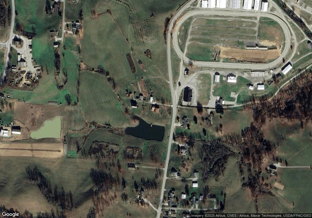
Map
Nearby Homes
- 198 N Monroe St
- 206 Ohio St
- 147 Andover Rd
- 208 Center St
- 108 Oaklawn Ave
- 167 Andover Rd
- 315 Eastern Ave
- 220 Oaklawn Ave
- 418 Eastern Ave
- 108 S Paul St
- 108.5 S Paul Alley
- 210 E Church St
- 302 High St
- 407 High St
- 303 High St
- 333 S Main St
- 0 Barber Ridge Rd
- 49402 Patton Rd
- 39709 State Route 255
- 42617 Ohio 800
- 46670 State Route 26
- 336 Fairground Rd
- 317 Fairground Rd
- 324 Fairground Rd
- 318 Fairground Rd
- 298 Penn St
- 312 Fairground Rd
- 312 Fairground Rd
- 46896 Robin Rd
- 306 Fairground Rd
- 239 Penn St
- 46881 Robin Rd
- 300 Fairground Rd
- 40084 Gun Club Rd
- 46886 Moore Ridge Rd
- 218 Fairground Rd
- 46961 Robin Rd
- 212 Fairground Rd
- 206 Fairground Rd
- 47020 Robin Rd