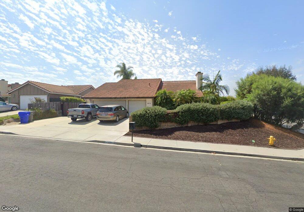
4675 Lofty Grove Dr Oceanside, CA 92056
Peacock NeighborhoodEstimated Value: $914,000 - $988,000
3
Beds
2
Baths
2,024
Sq Ft
$464/Sq Ft
Est. Value
About This Home
This home is located at 4675 Lofty Grove Dr, Oceanside, CA 92056 and is currently estimated at $938,684, approximately $463 per square foot. 4675 Lofty Grove Dr is a home located in San Diego County with nearby schools including T.H.E Leadership Academy, Roosevelt Middle School, and Vista High School.
Ownership History
Date
Name
Owned For
Owner Type
Purchase Details
Closed on
Sep 25, 2025
Sold by
Pihl Michael H and Pound Melissa A
Bought by
Pihl Pound Family Trust and Pihl
Current Estimated Value
Purchase Details
Closed on
Apr 10, 1992
Bought by
Pihl Mike Swjt Pound Melissa
Purchase Details
Closed on
May 6, 1991
Purchase Details
Closed on
Feb 15, 1990
Create a Home Valuation Report for This Property
The Home Valuation Report is an in-depth analysis detailing your home's value as well as a comparison with similar homes in the area
Home Values in the Area
Average Home Value in this Area
Purchase History
| Date | Buyer | Sale Price | Title Company |
|---|---|---|---|
| Pihl Pound Family Trust | -- | None Listed On Document | |
| Pihl Michael H | -- | None Listed On Document | |
| Pihl Mike Swjt Pound Melissa | $195,000 | -- | |
| -- | $100,000 | -- | |
| -- | $203,400 | -- |
Source: Public Records
Tax History
| Year | Tax Paid | Tax Assessment Tax Assessment Total Assessment is a certain percentage of the fair market value that is determined by local assessors to be the total taxable value of land and additions on the property. | Land | Improvement |
|---|---|---|---|---|
| 2025 | $3,647 | $344,795 | $123,769 | $221,026 |
| 2024 | $3,647 | $338,036 | $121,343 | $216,693 |
| 2023 | $3,558 | $331,409 | $118,964 | $212,445 |
| 2022 | $3,547 | $324,912 | $116,632 | $208,280 |
| 2021 | $3,467 | $318,543 | $114,346 | $204,197 |
| 2020 | $3,455 | $315,278 | $113,174 | $202,104 |
| 2019 | $3,403 | $309,097 | $110,955 | $198,142 |
| 2018 | $3,234 | $303,037 | $108,780 | $194,257 |
| 2017 | $70 | $297,097 | $106,648 | $190,449 |
| 2016 | $3,096 | $291,272 | $104,557 | $186,715 |
| 2015 | $3,083 | $286,898 | $102,987 | $183,911 |
| 2014 | $3,006 | $281,279 | $100,970 | $180,309 |
Source: Public Records
Map
Nearby Homes
- 1333 Olive Ave Unit 37
- 1333 Olive Ave Unit 60
- 1019 Highland Dr
- 702 Pecan Ct
- 1529 Temple Heights Dr
- 4723 Rim Rock Rd
- 4835 Glenhaven Dr
- 4445 Sunburst Dr
- 1523 Temple Heights Dr
- 1572 Peacock Blvd
- 1540 Highridge Dr
- 1549 Fig Tree Way
- 615 North Ave
- 648 Cocapah St
- 4535 Golden Ridge Dr
- 4530 Beverly Glen Dr
- 1609 Fig Tree Way
- 1515 Fig Tree Way
- 1609 Holly Leaf Way
- 1702 Havenwood Dr Unit 1087D4
- 4679 Lofty Grove Dr
- 4638 Rose Dr
- 4642 Rose Dr
- 4683 Lofty Grove Dr
- 4660 Lofty Grove Dr
- 4646 Rose Dr
- 4664 Lofty Grove Dr
- 4656 Lofty Grove Dr
- 4676 Lofty Grove Dr
- 4672 Lofty Grove Dr
- 4687 Lofty Grove Dr
- 4668 Lofty Grove Dr
- 4652 Lofty Grove Dr
- 4650 Rose Dr
- 4684 Lofty Grove Dr
- 2656 Walnut Ct
- 4637 Rose Dr
- 4641 Rose Dr
- 4691 Lofty Grove Dr
- 4688 Lofty Grove Dr
Your Personal Tour Guide
Ask me questions while you tour the home.