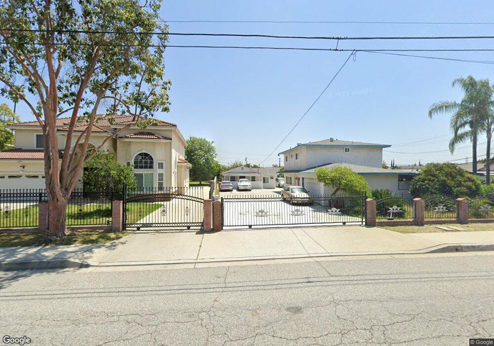
4676 Maxson Rd El Monte, CA 91732
Norwood Cherrylee NeighborhoodEstimated Value: $1,050,191 - $1,227,000
6
Beds
3
Baths
2,736
Sq Ft
$410/Sq Ft
Est. Value
About This Home
This home is located at 4676 Maxson Rd, El Monte, CA 91732 and is currently estimated at $1,122,048, approximately $410 per square foot. 4676 Maxson Rd is a home located in Los Angeles County with nearby schools including Durfee School and Arroyo High School.
Ownership History
Date
Name
Owned For
Owner Type
Purchase Details
Closed on
Sep 28, 1995
Sold by
Nguyen Tai Tan and Ly Phuong Duc
Bought by
Nguyen Tai Tan and Ly Ginger Phuong
Current Estimated Value
Home Financials for this Owner
Home Financials are based on the most recent Mortgage that was taken out on this home.
Original Mortgage
$163,000
Interest Rate
7.58%
Purchase Details
Closed on
May 30, 1994
Sold by
Gomez Lino G and Gomez Dolores R
Bought by
Nguyen Tai Tan and Ly Phuong Duc
Home Financials for this Owner
Home Financials are based on the most recent Mortgage that was taken out on this home.
Original Mortgage
$164,000
Interest Rate
8.25%
Create a Home Valuation Report for This Property
The Home Valuation Report is an in-depth analysis detailing your home's value as well as a comparison with similar homes in the area
Home Values in the Area
Average Home Value in this Area
Purchase History
| Date | Buyer | Sale Price | Title Company |
|---|---|---|---|
| Nguyen Tai Tan | -- | South Coast Title | |
| Nguyen Tai Tan | $205,000 | Fidelity National Title Ins |
Source: Public Records
Mortgage History
| Date | Status | Borrower | Loan Amount |
|---|---|---|---|
| Previous Owner | Nguyen Tai Tan | $163,000 | |
| Previous Owner | Nguyen Tai Tan | $164,000 |
Source: Public Records
Tax History
| Year | Tax Paid | Tax Assessment Tax Assessment Total Assessment is a certain percentage of the fair market value that is determined by local assessors to be the total taxable value of land and additions on the property. | Land | Improvement |
|---|---|---|---|---|
| 2025 | $5,217 | $344,306 | $203,227 | $141,079 |
| 2024 | $5,217 | $337,556 | $199,243 | $138,313 |
| 2023 | $5,119 | $330,938 | $195,337 | $135,601 |
| 2022 | $4,941 | $324,450 | $191,507 | $132,943 |
| 2021 | $4,984 | $318,089 | $187,752 | $130,337 |
| 2020 | $4,968 | $315,508 | $185,827 | $129,681 |
| 2019 | $5,068 | $309,336 | $182,184 | $127,152 |
| 2018 | $4,784 | $303,285 | $178,612 | $124,673 |
| 2016 | $4,569 | $290,856 | $171,677 | $119,179 |
| 2015 | $4,516 | $286,488 | $169,099 | $117,389 |
| 2014 | $4,356 | $280,877 | $165,787 | $115,090 |
Source: Public Records
Map
Nearby Homes
- 4724 Durfee Ave
- 4420 Maxson Rd
- 4404 Cogswell Rd
- 4731 Helmgate Dr
- 11734 Lower Azusa Rd
- 4229 Cogswell Rd
- 12066 Celine St
- 11654 Roseglen St
- 12141 Ramona Blvd
- 5340 Durfee Ave
- 11825 Basye St
- 11639 Hallwood Dr
- 4042 Maxson Rd Unit C
- 4849 Peck Rd Unit 67
- 4849 Peck Rd Unit 48
- 4849 Peck Rd Unit 37
- 4849 Peck Rd Unit 36
- 4849 Peck Rd Unit 13
- 11716 Hemlock St
- 11834 Kerrwood St
- 4680 Maxson Rd
- 4668 Maxson Rd
- 4688 Maxson Rd
- 4725 Durfee Ave
- 12213 Mulhall St
- 12225 Mulhall St
- 12201 Mulhall St
- 12237 Mulhall St
- 4673 Maxson Rd
- 4719 Durfee Ave
- 12160 Ranchito St
- 4743 Durfee Ave
- 12249 Mulhall St
- 4715 Durfee Ave
- 4733 Durfee Ave
- 4667 Maxson Rd
- 4704 Maxson Rd Unit A
- 4704 Maxson Rd Unit C
- 4704 Maxson Rd Unit B
- 12154 Ranchito St