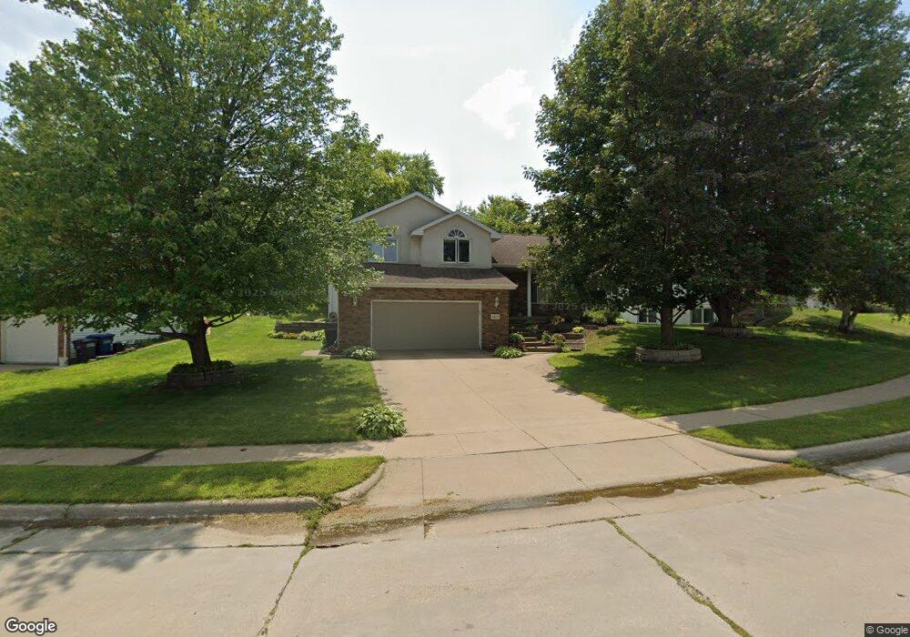
4677 Camelot Dr Dubuque, IA 52002
Estimated Value: $310,000 - $348,000
3
Beds
4
Baths
1,318
Sq Ft
$254/Sq Ft
Est. Value
About This Home
This home is located at 4677 Camelot Dr, Dubuque, IA 52002 and is currently estimated at $334,638, approximately $253 per square foot. 4677 Camelot Dr is a home located in Dubuque County with nearby schools including Carver Elementary School, Eleanor Roosevelt Middle School, and Hempstead High School.
Ownership History
Date
Name
Owned For
Owner Type
Purchase Details
Closed on
Aug 22, 2005
Sold by
Leino Drew A and Tull- Leino Stacy I
Bought by
Hess Cory L
Current Estimated Value
Home Financials for this Owner
Home Financials are based on the most recent Mortgage that was taken out on this home.
Original Mortgage
$105,000
Interest Rate
5.82%
Mortgage Type
New Conventional
Create a Home Valuation Report for This Property
The Home Valuation Report is an in-depth analysis detailing your home's value as well as a comparison with similar homes in the area
Home Values in the Area
Average Home Value in this Area
Purchase History
| Date | Buyer | Sale Price | Title Company |
|---|---|---|---|
| Hess Cory L | $183,000 | None Available |
Source: Public Records
Mortgage History
| Date | Status | Borrower | Loan Amount |
|---|---|---|---|
| Closed | Hess Cory L | $105,000 |
Source: Public Records
Tax History Compared to Growth
Tax History
| Year | Tax Paid | Tax Assessment Tax Assessment Total Assessment is a certain percentage of the fair market value that is determined by local assessors to be the total taxable value of land and additions on the property. | Land | Improvement |
|---|---|---|---|---|
| 2025 | $4,038 | $303,000 | $50,600 | $252,400 |
| 2024 | $4,038 | $291,000 | $48,300 | $242,700 |
| 2023 | $3,916 | $291,000 | $48,300 | $242,700 |
| 2022 | $3,774 | $237,150 | $46,010 | $191,140 |
| 2021 | $3,774 | $237,150 | $46,010 | $191,140 |
| 2020 | $3,712 | $217,540 | $46,010 | $171,530 |
| 2019 | $3,708 | $217,540 | $46,010 | $171,530 |
| 2018 | $3,648 | $207,990 | $41,410 | $166,580 |
| 2017 | $3,476 | $207,990 | $41,410 | $166,580 |
| 2016 | $3,476 | $188,490 | $41,410 | $147,080 |
| 2015 | $3,446 | $190,910 | $41,410 | $149,500 |
| 2014 | $3,354 | $190,910 | $41,410 | $149,500 |
Source: Public Records
Map
Nearby Homes
- 1876 North Ct
- 2023 Clifford St
- 4957 Twilight Dr
- 1555 Donovan Dr
- 3695 Keystone Dr
- Lot 6 Mill Ridge Rd
- 5133 Asbury Rd
- 3660 Hillcrest Rd
- Lot 3 Shagbark Plat 3 Ln Unit 4461 Barnwood Lane
- Lot Hillcrest Rd
- 3631 Keymeer Dr
- 1754 Vizaleea Dr
- 0 Associates Dr
- 2207 Eldie Dr
- 2145 Saint John Dr
- 1743 Lea Ln
- 3519 Hillcrest Rd
- 3575 Lisa Ct
- 3725 Asbury Rd
- 2249 Antler Ridge Dr
- 4667 Camelot Dr
- 4697 Camelot Dr
- 4744 Colonel Dr
- 4647 Camelot Dr
- 4707 Camelot Dr
- 4734 Colonel Dr
- 4682 Camelot Dr
- 4662 Camelot Dr
- 4692 Camelot Dr
- 4652 Camelot Dr
- 4627 Camelot Dr
- 4702 Camelot Dr
- 4754 Colonel Dr
- 4724 Colonel Dr
- 4642 Camelot Dr
- 4717 Camelot Dr
- 4712 Camelot Dr
- 4751 Colonel Dr
- 4622 Camelot Dr
- 4714 Colonel Dr